Skip to content
Services
Products
Software
References
News
About us
Menu
Services
Products
Software
References
News
About us
English
German
Menu
English
German
Contact
News
An overview of all news.
Satellite image of the month – April – Yoshino-yama (Japan)
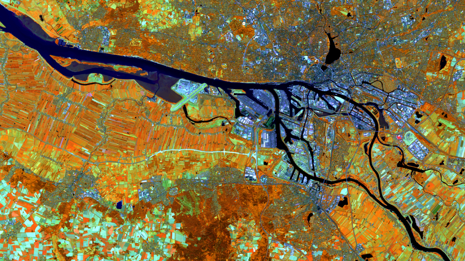
Satellite image of the month – March – Hamburg (Germany)
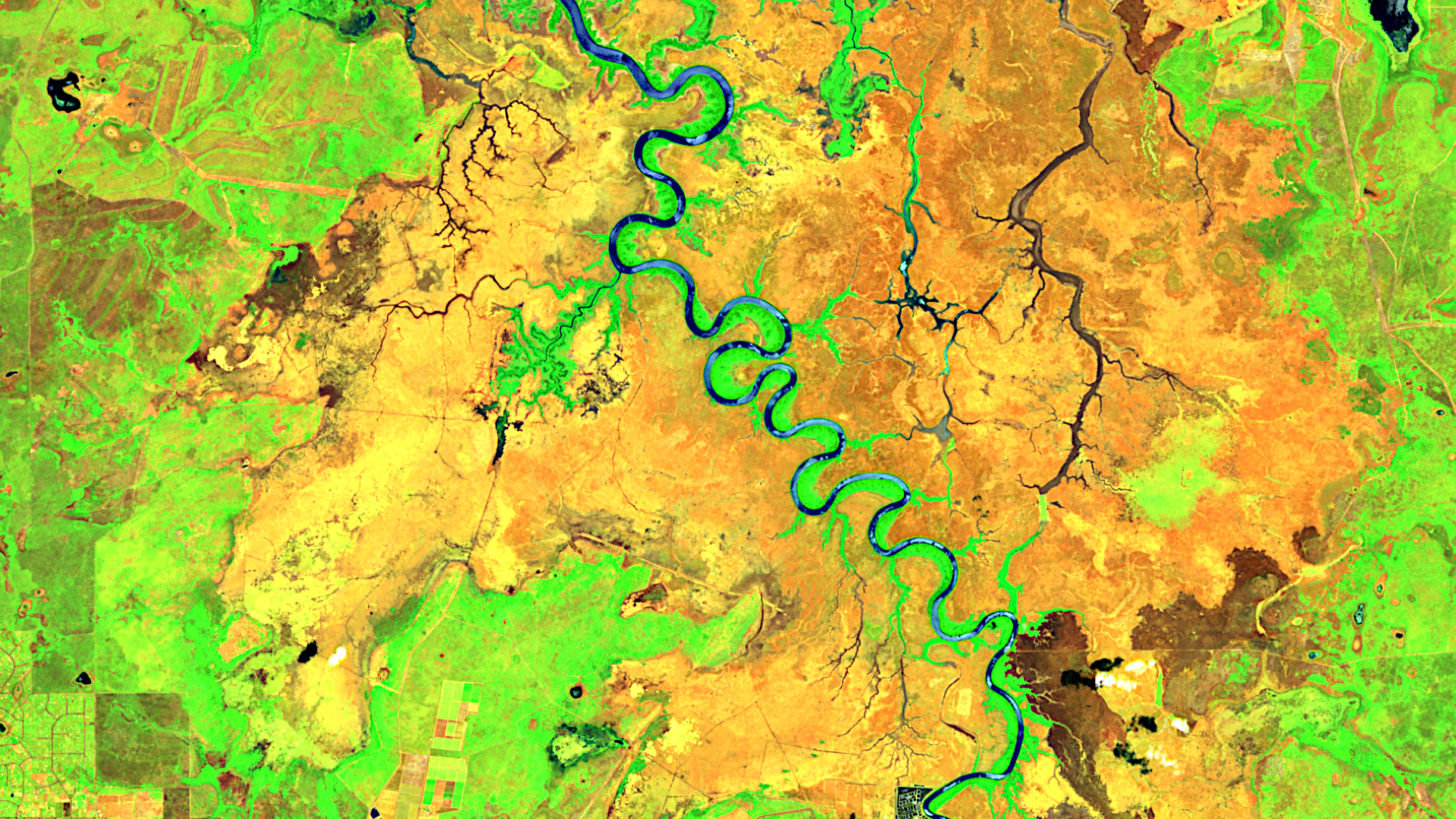
Satellite image of the month – February – Adelaide River (Australia)
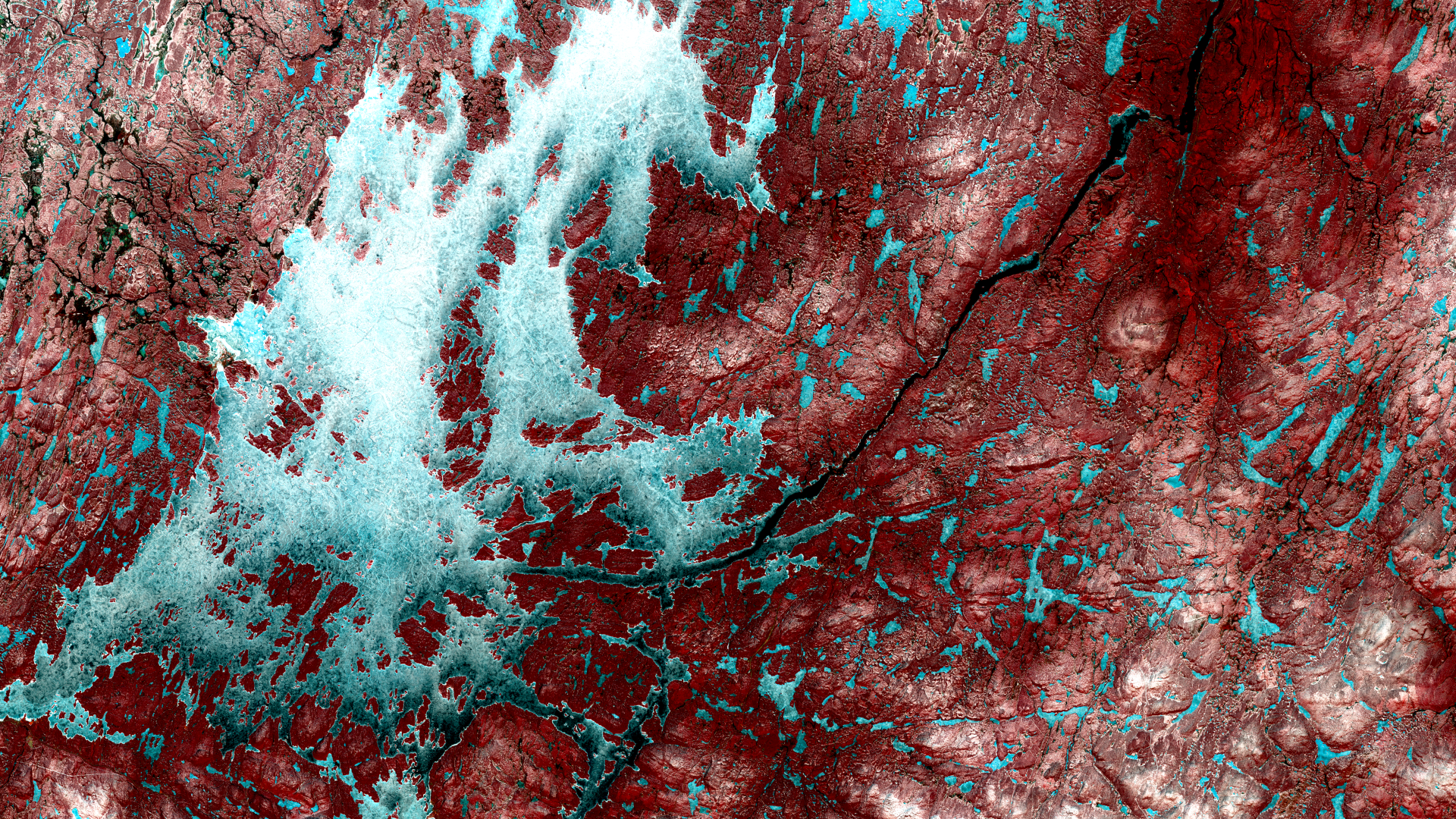
Satellite image of the month – January – Inarijärvi (Finland)
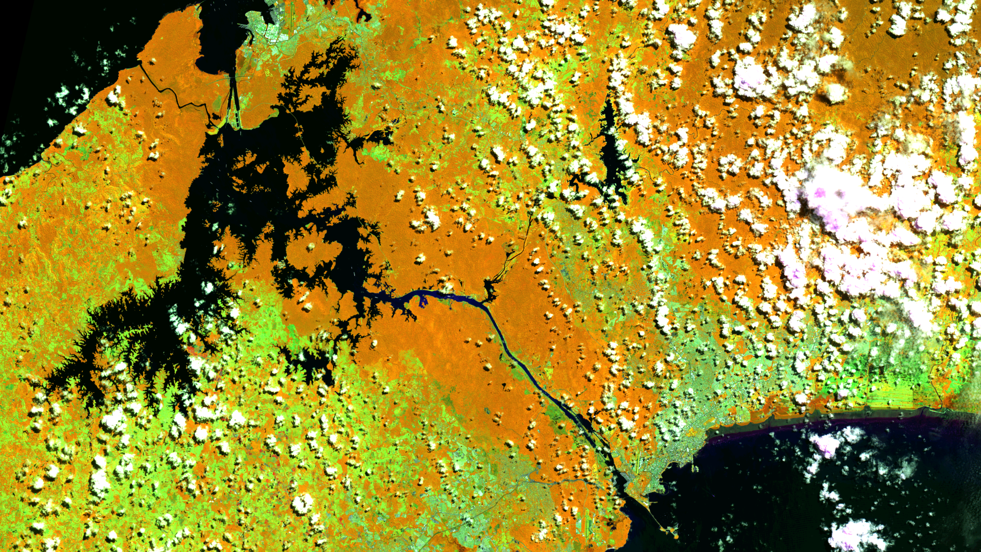
Satellite image of the month – December – Panama Canal (Panama)
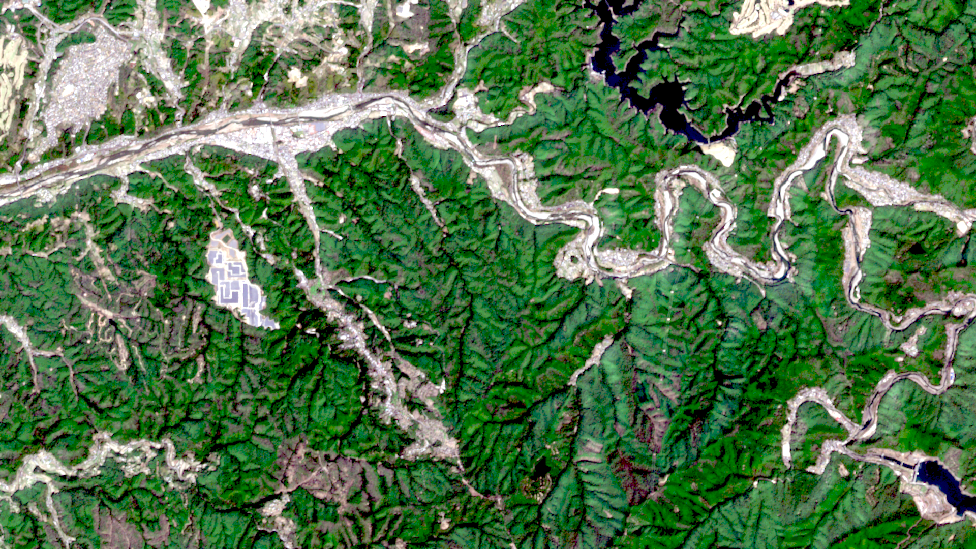
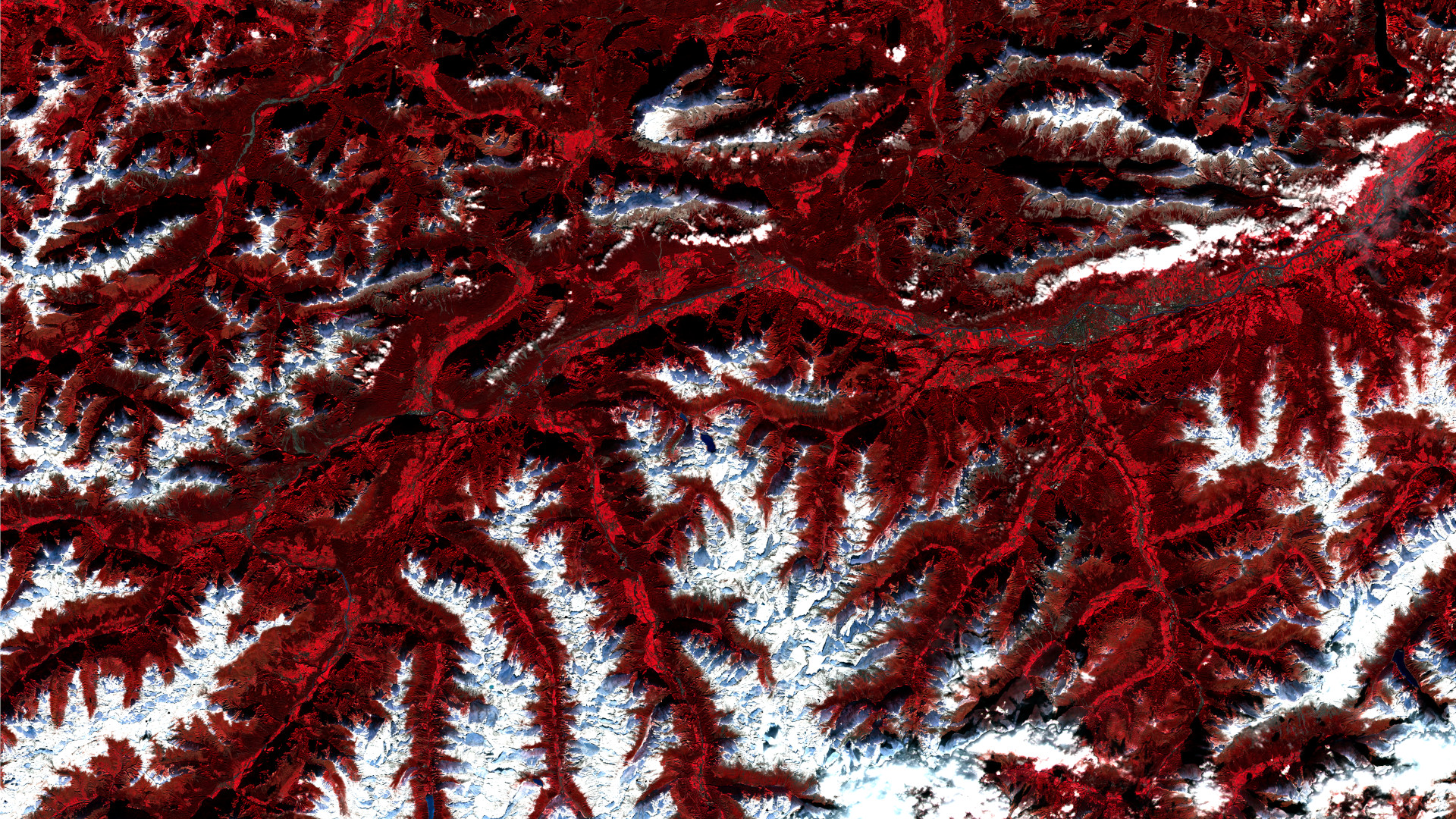
Satellite image of the month – November – Inn Valley (Austria)
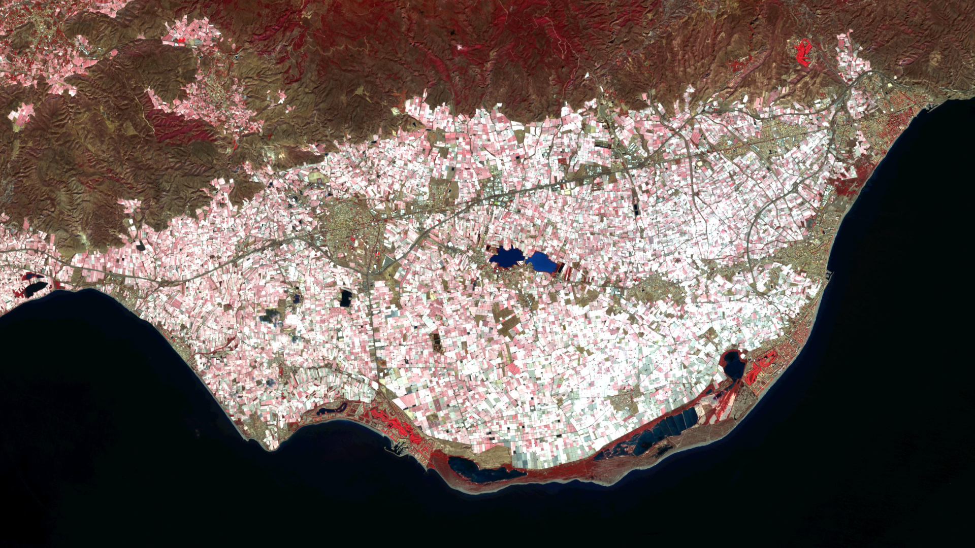
Satellite image of the month – October – Almería (Spain)
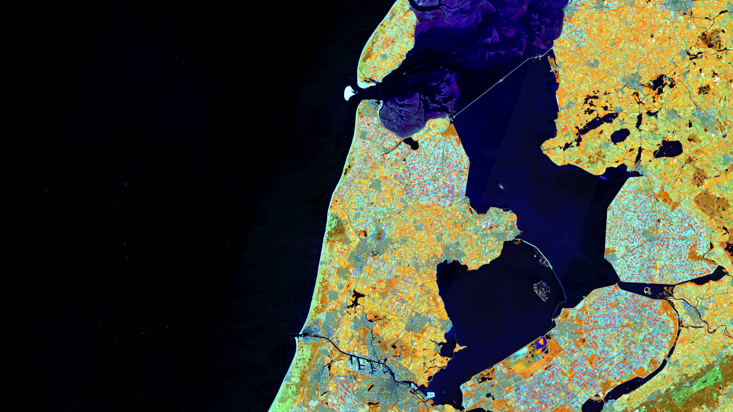
Satellite image of the month – September – Noord-Holland (Netherlands)
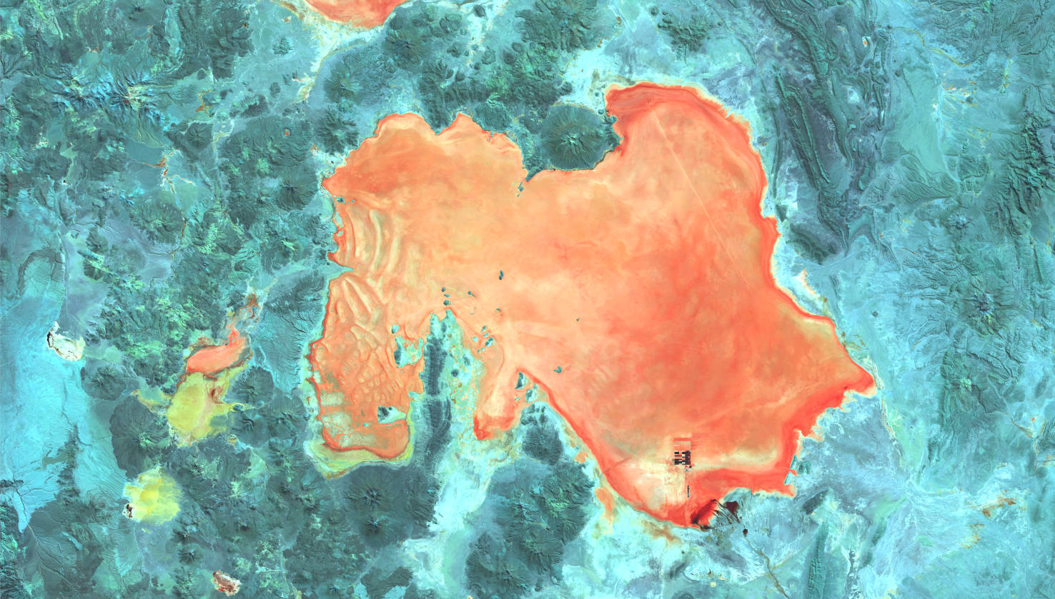
Satellite image of the month – August – Salar de Uyuni (Bolivia)
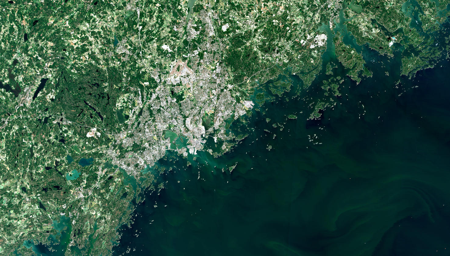
Satellite image of the month – July – Helsinki (Finland)
Show more
Categories
General
Satellite image of the month
All
English
German
English
German
Services
Products
Software
References
News
About us
Services
Products
Software
References
News
About us
Kontakt
Github
Linkedin
Xing
Twitter
Mastodon Logo
Imprint
Privacy Policy
Imprint
Privacy Policy
English
German
English
German
Services
Products
Software
References
News
About us
Services
Products
Software
References
News
About us
Contact
Github
Linkedin
Xing
Twitter
Mastodon Logo
Imprint
Privacy Policy
Imprint
Privacy Policy