Menu
  • About us
    • Company
    • Team
    • Career
    • References
    • Partners
    • Contact
  • Products
    • Earth Observation metadata enhancer
    • Temperaturdaten
    • LST-Data Client
    • Trainings
  • Services
    • actinia – geoprocessing in the cloud
    • Geospatial and EO data analysis
    • CORONA spy satellite data
    • maps.mundialis
    • Web Map Services
    • GIS Development
    • Open Source GIS
  • Markets
    • Remote Sensing for Agriculture
    • Satellite Images for Forest and Land Cover Restoration
    • Glass fibre route planning – FTTH
    • Copernicus and Sentinel
  • News & Blog
    • News
    • Blog
    • Satellite image of the month
  • English English
  • Deutsch Deutsch

Remote Sensing


What it is…

Remote Sensing is the acquisition of information about an object from afar. This means that no physical contact is made. The most widely used method is the acquisition via aerial sensors on aircrafts or satellites, which measure the electromagnetic radiation of the object in different spectra.
What is measured and which quality the data has depends on the sensor. There are different types of resolutions which play a role:

  • Spatial resolution is the size of a pixel, which is recorded by the sensor. The size gives the area of the earth that is covered by this pixel. The smaller it is in the real world, the higher the spatial resolution.
  • Temporal resolution tells the time which the sensor needs to revisit the exact same spot on earth. This is relevant for time series through which changes can be analysed.
  • Spectral resolution tells about the amount and range of bands, which each measure a different wavelength range of the electromagnetic spectrum. Gamma, x-ray and ultraviolet radiation have the shortest wavelengths. The longest wavelengths are emitted by radio and microwave radiation. In between lies the visible spectrum and near to thermal infrared. Some sensors cover a wide range of different frequencies with broad wavelength ranges each and other sensors cover a small part of the electromagnetic spectrum with many bands measuring only a tiny wavelength range.
  • Radiometric resolution tells the ability of the sensor to distinguish different intensities of the radiation.

Depending on the objects about which the sensor should gather information, different resolutions are important and different sensors should be chosen. Before using the information, radiometric, topographic and atmospheric corrections need to be carried out to reduce measurement errors. To get spatial information, geographic location is added.

What we do with it…

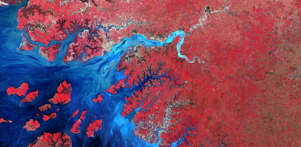
We use different data with different resolutions and process it to extract information about certain places on earth. We combine information and obtain a digital map or digital geodata.

Follow Us

Contact

mundialis GmbH & Co. KG
Kölnstrasse 99
53111 Bonn

Phone: +49 (0)228 / 387 580 80
Fax: +49 (0)228 / 962 899 57

E-Mail: info [at] mundialis [dot] de

Latest News

  • ++ Eine neue Heimat für Actinia ++

    Tuesday January 24th, 2023
  • Positive towards the future – Management changes at mundialis

    Tuesday October 4th, 2022
  • Recap of FOSS4G 2022 in Florence

    Friday September 16th, 2022
  • FOSS4G 2022 in “La Bella” – Greetings from Florence!

    Thursday July 14th, 2022
  • VALE project successfully completed

    Tuesday June 21st, 2022
View all News

Blog

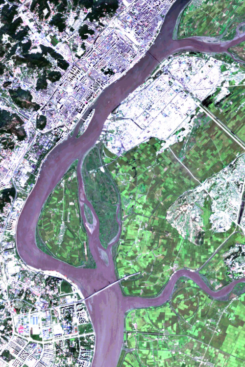
  • Satellite image of the month – January – Yalu River (People’s Republic of China and Democratic People’s Republic of Korea) 2. January 2023
    Yalu River – People’s Republic of China and Democratic People’s ...
  • Satellite image of the month – December – Super Pit gold mine (Australia) 1. December 2022
    Super Pit gold mine – Australia, recorded by the Sentinel-2A ...
  • Satellite image of the month – November – Kufra-Oases (Libya) 1. November 2022
    Kufra-Oases – Libya, recorded by the Sentinel-2A satellite on March ...
View all Blog Posts

Copyright © 2015-2021 mundialis GmbH & Co. KG

Imprint Privacy

Theme created by PWT. Powered by WordPress.org