
![]()
![]()
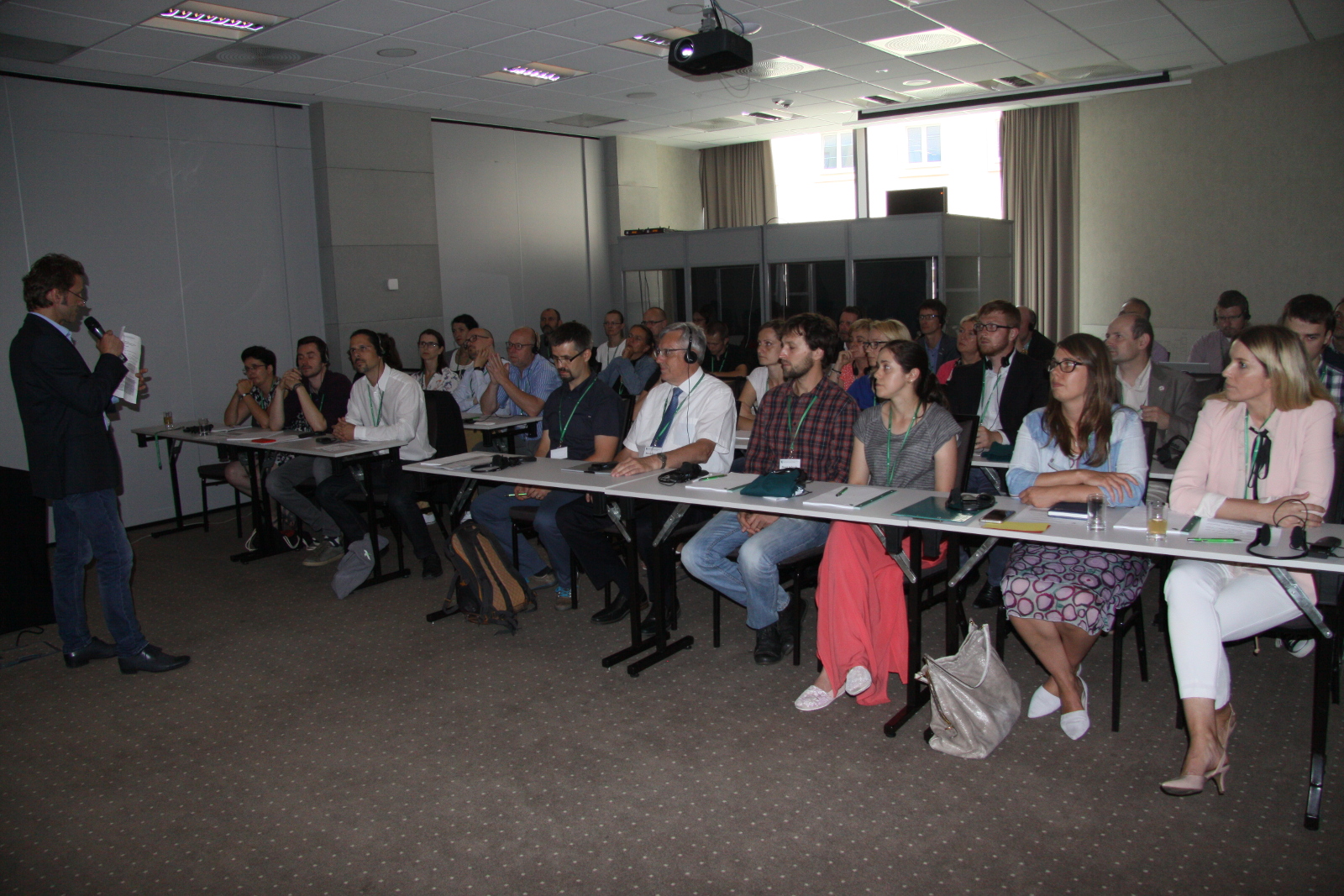
Am 5. und 6. Juni 2018 fand in Breslau ein GIS-Workshop statt, der von der Arbeitsgruppe G5 “Datenmanagement” der Internationalen Kommission zum Schutz der Oder gegen Verunreinigung (IKSO) organisiert wurde. Vertreter verschiedener Behörden, Institutionen und Firmen, die sich mit der Implementierung von GIS-Lösungen in allen drei Staaten der Flussgebietseinheit Oder befassen, haben an diesem Workshop teilgenommen.
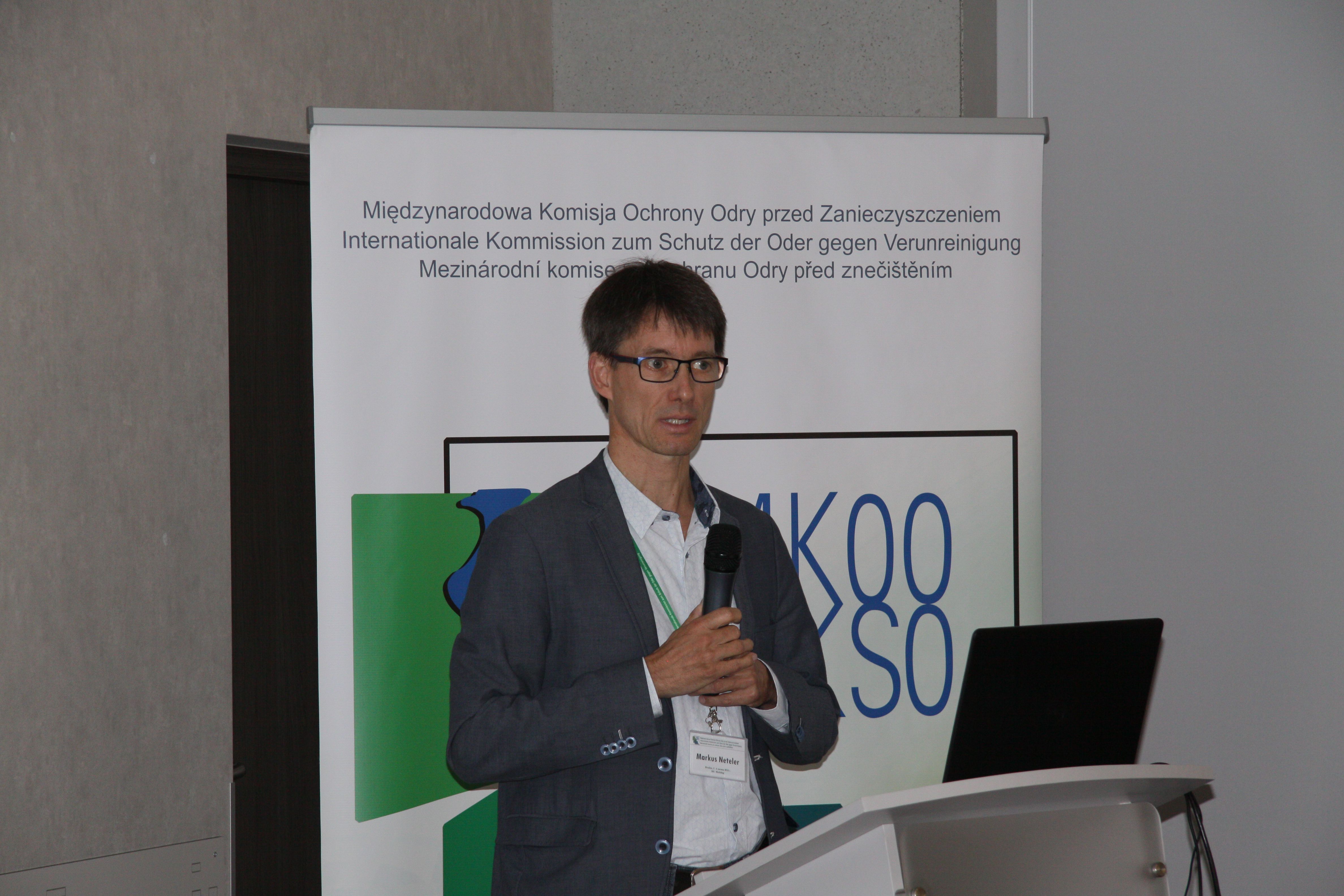
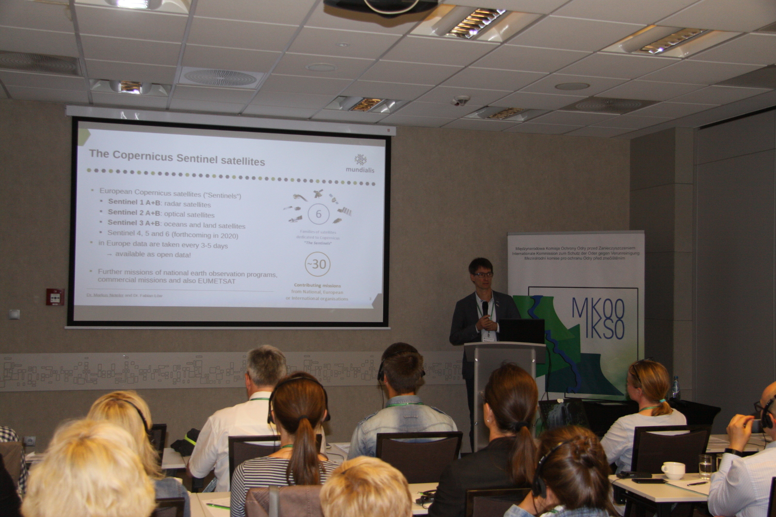
Von mundialis war Geschäftsführer Dr. Markus Neteler vertreten und präsentierte den Vortrag “Nutzung von Copernicus Sentinel-Daten, Land monitoring, flood mapping and more”. Die entsprechenden Vortragsfolien finden Sie hier.
Wir bedanken uns bei der Internationalen Kommission zum Schutz der Oder gegen Verunreinigung für die professionelle Umsetzung des Workshops und freuen uns auf eine eventuelle Fortsetzung.
Die vollständige Pressemitteilung finden Sie hier.