Menu
  • Über uns
    • Unternehmen
    • Team
    • Karriere
    • Referenzen
    • Partner
    • Kontakt
  • Produkte
    • Erdbeobachtungsmetadatenoptimierer
    • Temperaturdaten
    • LST-Daten Client
    • Schulungen
  • Services
    • actinia – Geoprozessierung in der Cloud
    • Analyse von raumbezogenen Daten und Erdbeobachtungsdaten
    • CORONA Spionagesatellitendaten
    • maps.mundialis
    • Web Kartendienste
    • GIS Entwicklung
    • Open Source GIS
  • Märkte
    • Fernerkundung für die Landwirtschaft
    • Satellitenbilder für die Wiederherstellung von Wald- und Bodenbedeckung
    • Glasfaser-Trassenplanung – FTTH
    • Copernicus und Sentinel
  • News & Blog
    • News
    • Blog
    • Satellitenbild des Monats
  • English English
  • Deutsch Deutsch

HERMOSA Bulletin: Supporting the UN Decade on Ecosystem Restoration


13. April 2021 | Category General


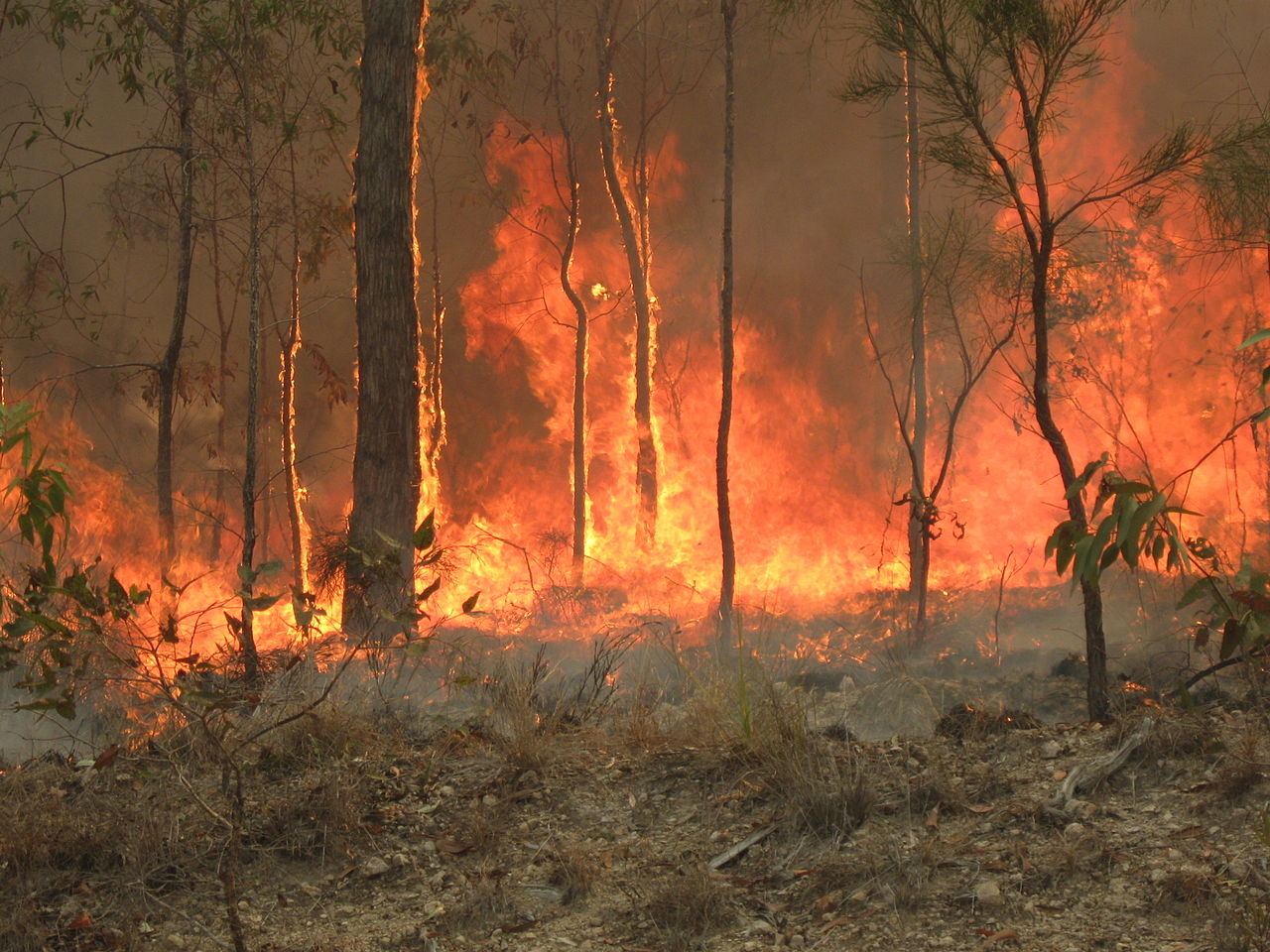
At least since Meadows et al. published the report ‘Limits to Growth’ in 1972 the world has been informed about the unsustainable path that humanity finds itself on. Now, almost 50 years after this widely acclaimed publication, the effects of deforestation, biodiversity loss, air and water pollution are beginning to be felt by the general public. “Climate change”, one of the key expressions of the nascent 21st century, is entering the mainstream consciousness due to extended heat-waves, wildfires, droughts, hurricanes and other weather induced calamities currently seen at an unprecedented scale.

The companies mundialis and terrestris from Bonn, Germany, with funding from the European Space Agency (ESA), are developing a digital, internet based platform supporting urgently needed ecosystem restoration efforts by utilizing geo- and earth observation technologies. The platform is called HERMOSA, an acronym for Holistic Ecosystem Restoration Monitoring, repOrting, Sharing and mArketplace. It consists of four connected modules:

  1. “Identify & Connect” enables matchmaking for stakeholders
  2. “Organize & Implement” supports restoration activities by using geodata
  3. “Monitor & Report” utilizes remotely sensed data from satellites to detect changes
  4. “Learn & Share” is a space for knowledge sharing and capacity strengthening


Current information about the project is made available on the project homepage while the platform itself is located at https://hermosa.earth. World Environment Day (WED) is celebrated each year on June 05th raising awareness about environmental issues and will be hosted by Pakistan in 2021. This year it will mark the launch of the UN Decade on Ecosystem Restoration, which the United Nations declared because of the problems outlined above. In the hope of being able to avert the worst effects of environmental destruction and unsustainable use of resources, the target is to limit the heating of the planet to 1.5° C in comparison to pre-industrial times.

Since all efforts related to ecosystems take place in a spatial context HERMOSA is the ideal platform to support activities on the ground and provide the much needed transparency.

Please contact sales@hermosa.earth to get started today!

Comments are currently closed.

Folgen Sie uns hier

Kontakt

mundialis GmbH & Co. KG
Kölnstrasse 99
53111 Bonn

Telefon: +49 (0)228 / 387 580 80
Fax: +49 (0)228 / 962 899 57

E-Mail: info [at] mundialis [dot] de

Letzte Beiträge

  • Die FOSSGIS 2023 – diesmal wieder in Berlin!

    Dienstag, der 21. Februar 2023
  • ++ Eine neue Heimat für Actinia ++

    Dienstag, der 24. Januar 2023
  • Positiv in die Zukunft – Änderungen in der Geschäftsführung bei mundialis

    Dienstag, der 4. Oktober 2022
  • Zusammenfassung von der FOSS4G 2022 in Florenz

    Freitag, der 16. September 2022
  • FOSS4G 2022 in „La Bella“ – Florenz lässt grüßen!

    Donnerstag, der 14. Juli 2022
Alle Beiträge ansehen

Blog

  • Satellitenbild des Monats – März – Berlin (Deutschland) 7. März 2023
    Berlin – Deutschland, aufgenommen vom Sentinel-2B Satelliten am 30.09.2022 Das Satellitenbild ...
  • Satellitenbild des Monats – Februar – Amazonas-Regenwald (Brasilien und Bolivien) 7. Februar 2023
    Amazonas-Regenwald – Brasilien und Bolivien, aufgenommen vom Sentinel-2A Satelliten am ...
  • Satellitenbild des Monats – Januar – Yalu (Volksrepublik China und Demokratische Volksrepublik Korea) 2. Januar 2023
    Yalu – Volksrepublik China und Demokratische Volksrepublik Korea, aufgenommen ...
Alle Blog-Beiträge ansehen

Copyright © 2015-2023 mundialis GmbH & Co. KG

Impressum Datenschutzerklärung

Theme created by PWT. Powered by WordPress.org