Skip to content
Services
Products
Software
References
News
About us
Services
Products
Software
References
News
About us
English
German
English
German
Contact
News
An overview of all news.
Back from the 2025 ESA Living Planet Symposium: Three Key Trends for Earth Observation
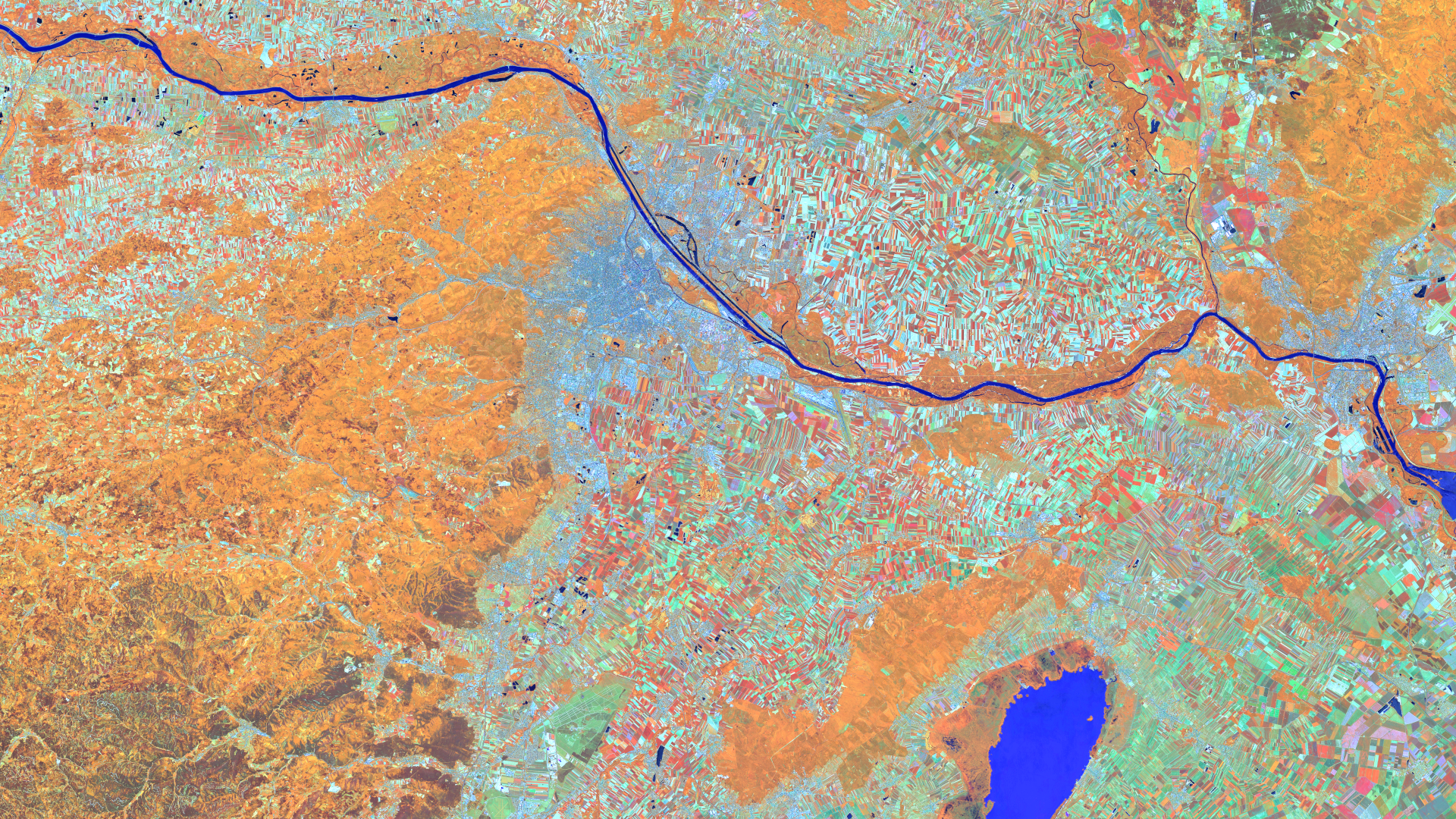
Satellite image of the month – July – Vienna (Austria)
Effiziente Parkraumanalyse mit freien Geodaten – Einladung zum Webinar
GIM International presents: Our Contribution to Climate Adaptation in Cities
mundialis at the 26th Bonn Economic Talks
Recap of the 2nd GEO.KI Forum
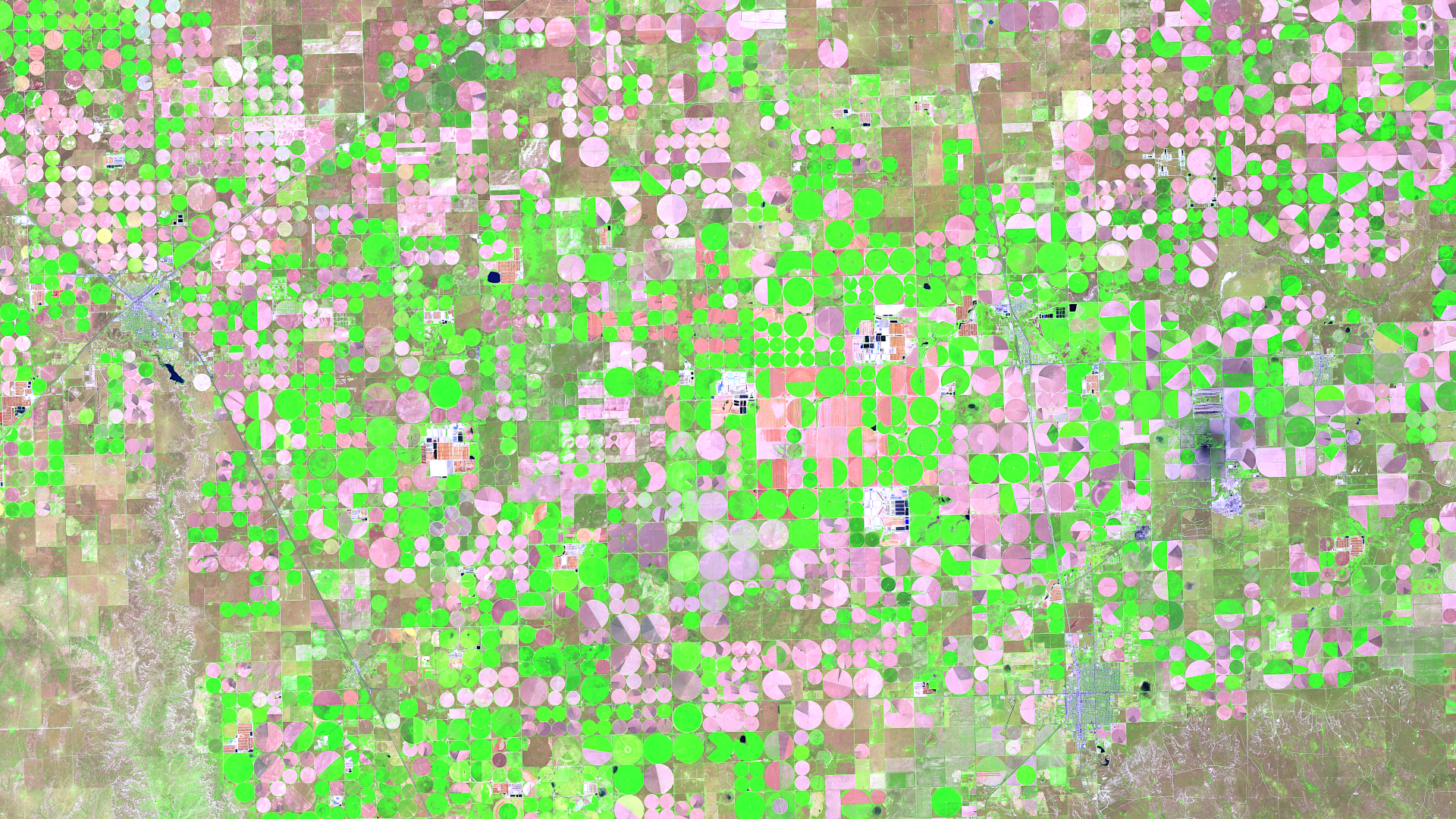
Satellite image of the month – June – Dalhart (Texas, USA)
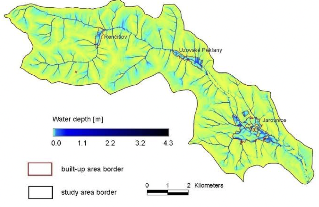
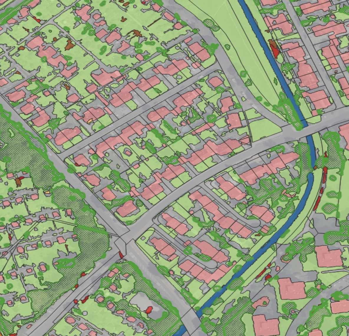
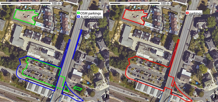
Parking Lots as a Resource for Sustainable Urban Transformation – Initial Findings
Einzelbaumerkennung mit offenen Daten der Bundesländer – Webinar-Aufzeichnung
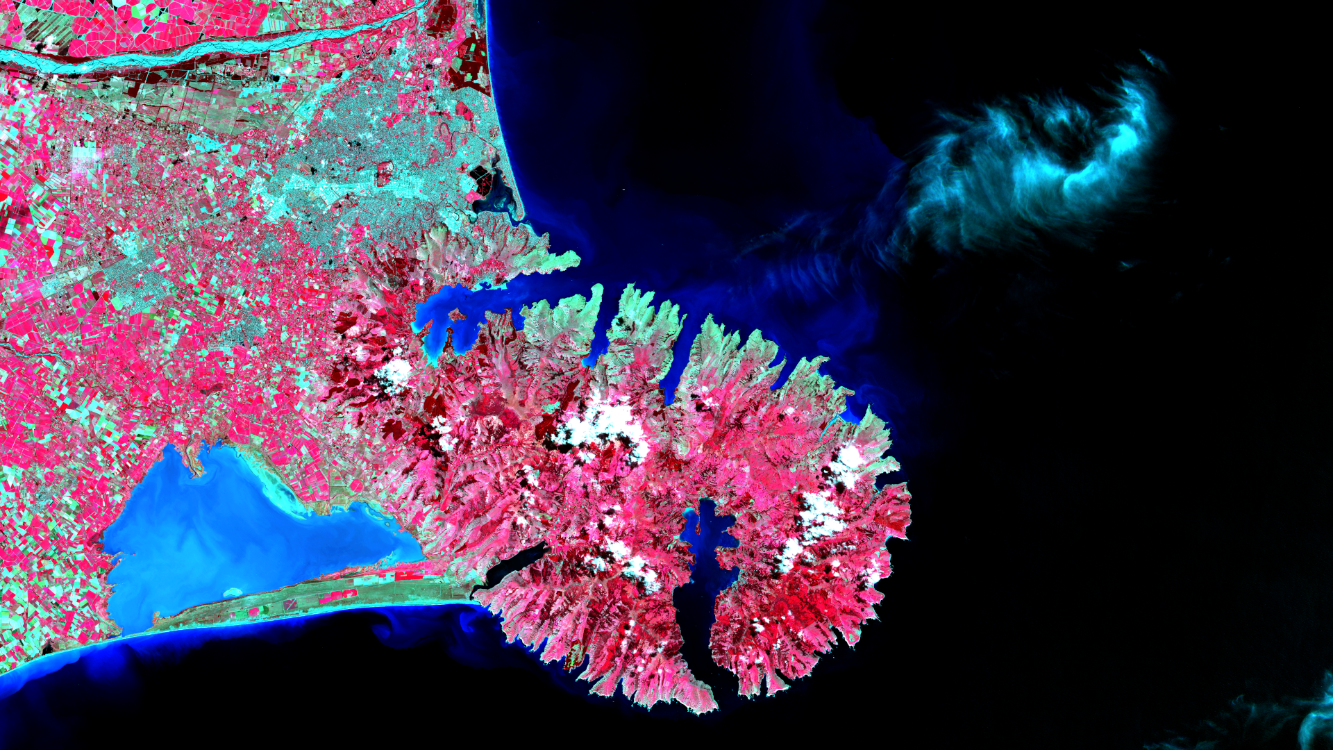
Satellite image of the month – May – Banks Peninsula (New Zealand)
Show more
Categories
General
Knowledge
Satellite image of the month
All
English
German
English
German
Services
Products
Software
References
News
About us
Services
Products
Software
References
News
About us
Kontakt
Github
Linkedin
Xing
Twitter
Mastodon Logo
Imprint
Imprint
English
German
English
German
Services
Products
Software
References
News
About us
Services
Products
Software
References
News
About us
Contact
Github
Linkedin
Xing
Twitter
Mastodon Logo
Imprint
Imprint