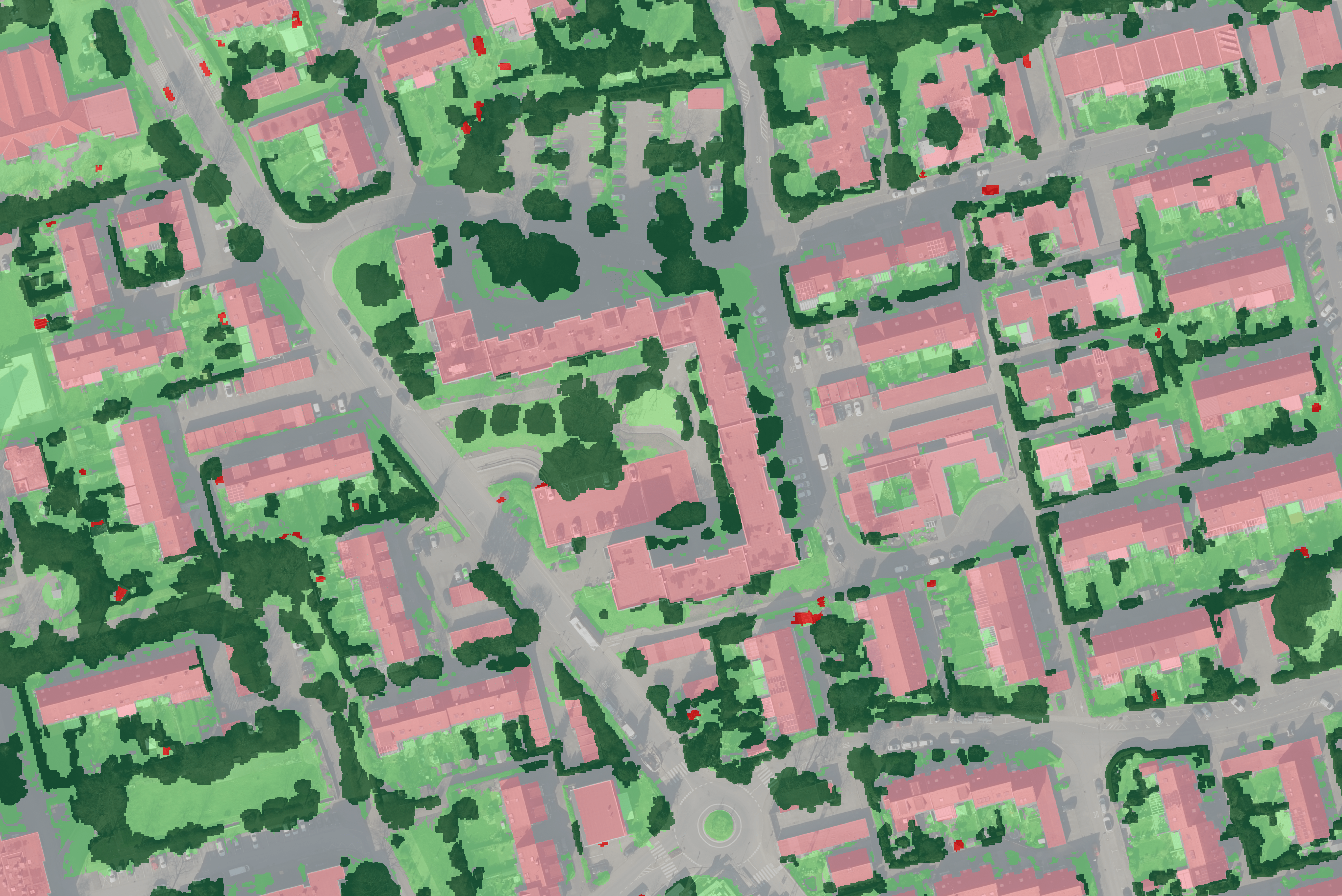
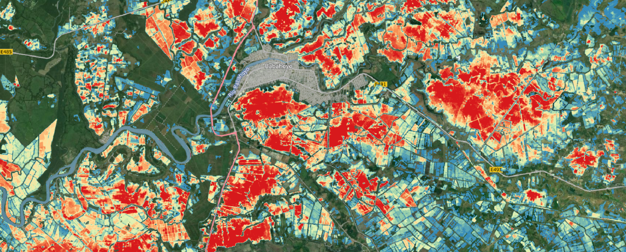
Menu
  • About us
    • Company
    • Team
    • Career
    • References
    • Partners
    • Contact
  • Products
    • Imperviousness assessment
    • Tree detection
    • Earth Observation metadata enhancer
    • Monitoring of land use changes
    • Temperaturdaten
    • LST-Data Client
    • Trainings
  • Services
    • actinia – geoprocessing in the cloud
    • Geospatial and EO data analysis
    • CORONA spy satellite data
    • maps.mundialis
    • Web Map Services
    • GIS Development
    • Open Source GIS
  • Markets
    • Remote Sensing for Agriculture
    • Satellite Images for Forest and Land Cover Restoration
    • Glass fibre route planning – FTTH
    • Copernicus and Sentinel
  • News & Blog
    • News
    • Blog
    • Satellite image of the month
  • English English
  • Deutsch Deutsch

References


Since mundialis was founded in 2015, the company has numerous references from both the public and private sector. The references below symbolize projects which mundialis is currently working on or which have already been completed.


EO-me: Enrichment of tile metadata and filter system for Sentinel-2 and Landsat-8 tiles

EO-li: Earth Observation based location identifier – brokerage platform to bring degraded land back into food production (ESA ARTES IAP)

WANDEL: Water resources as a major driver of energy transformation at local and global level (FKZ: GROW-937-3583-018)

World Health Organisation

GreenUr: Health effects of urban green space: QGIS Plugin development
EU-H2020 openEO: A common open source interface between Earth Observation data infrastructures and front-end applications (Call: EO-2-2017: EO Big Data Shift)
mFUND MetaOpenData: Feasibility study “Better findability of data, especially geodata, in the context of open data” (FKZ: 19F1031A)
mFUND incora: “Improved monitoring of settlement areas through satellite-supported spatial observation“ (FKZ: 19F20579C)

Follow Us

Contact

mundialis GmbH & Co. KG
Kölnstrasse 99
53111 Bonn

Phone: +49 (0)228 / 387 580 80
Fax: +49 (0)228 / 962 899 57

E-Mail: info [at] mundialis [dot] de

Latest News

  • MOOD Scientific Conference and General Assembly

    Tuesday July 25th, 2023
  • 🌲 🌳 🌴 Automated single tree detection from aerial photos 🌲 🌳 🌴

    Thursday July 20th, 2023
  • GRASS GIS celebrates 40 years!

    Thursday June 22nd, 2023
  • mundialis offers job bikes to employees

    Tuesday June 13th, 2023
  • Conclusion of the FAIR Project

    Wednesday April 19th, 2023
View all News

Blog

  • Satellite image of the month – September – Noord-Holland (Netherlands) 5. September 2023
    Noord-Holland – Netherlands – recorded by the Sentinel-2A satellite on ...
  • Satellite image of the month – August – Salar de Uyuni (Bolivia) 8. August 2023
    Salar de Uyuni – Bolivia, recorded by the Sentinel-2B satellite ...
  • Satellite image of the month – July – Helsinki (Finland) 4. July 2023
    Helsinki – Finland, recorded by the Sentinel-2A satellite on June ...
View all Blog Posts

Copyright © 2015-2023 mundialis GmbH & Co. KG

Imprint Privacy

Theme created by PWT. Powered by WordPress.org