Menu
  • About us
    • Company
    • Team
    • Career
    • References
    • Partners
    • Contact
  • Products
    • Earth Observation metadata enhancer
    • Temperaturdaten
    • LST-Data Client
    • Trainings
  • Services
    • actinia – geoprocessing in the cloud
    • Geospatial and EO data analysis
    • CORONA spy satellite data
    • maps.mundialis
    • Web Map Services
    • GIS Development
    • Open Source GIS
  • Markets
    • Remote Sensing for Agriculture
    • Satellite Images for Forest and Land Cover Restoration
    • Glass fibre route planning – FTTH
    • Copernicus and Sentinel
  • News & Blog
    • News
    • Blog
    • Satellite image of the month
  • English English
  • Deutsch Deutsch

Taking part in ESA’s Earth Observation conference / A look back on the LPS 2022


10. June 2022 | Category General

How can the causes and impacts of natural disasters be monitored? What can remote sensing contribute to food security? And how can the large volumes of satellite data be processed and analysed as automatically as possible?

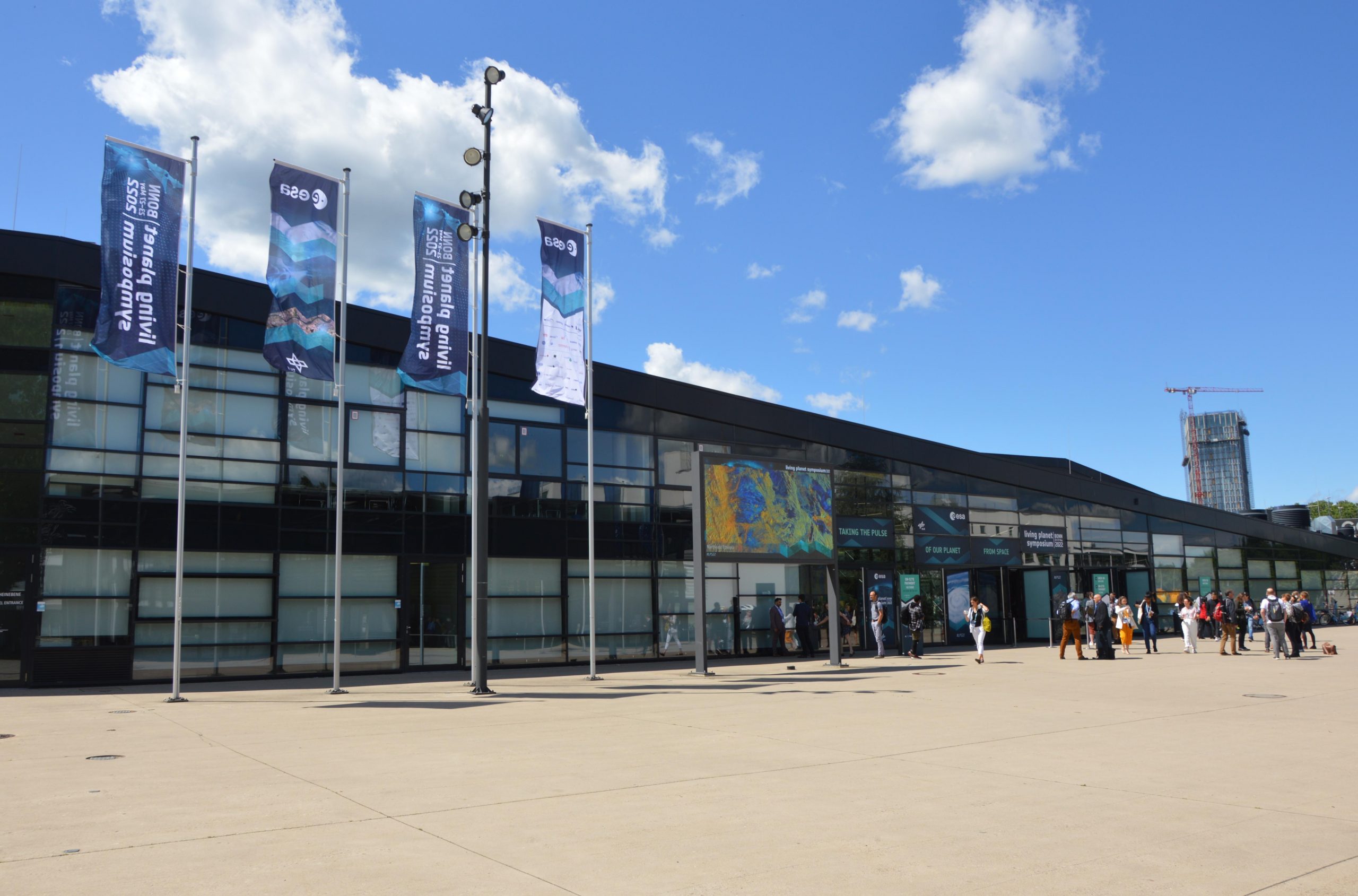
These were just a few of the many issues addressed last week at the ESA Living Planet Symposium (LPS), one of the world’s largest Earth observation conferences. Under the slogan “Taking the Pulse of our Planet from Space”, around 5,000 experts and interested people from science, industry and politics came together at the World Conference Center in Bonn. The focus was on presentations by the scientists, which stimulated discussions about the topics. Information was provided on current technological developments as well as research results obtained from remote sensing data. It was also addressed how the open satellite data can be made available to a wider public so that it can be applied in different areas to contribute, for example, to the resilience of societies and companies.

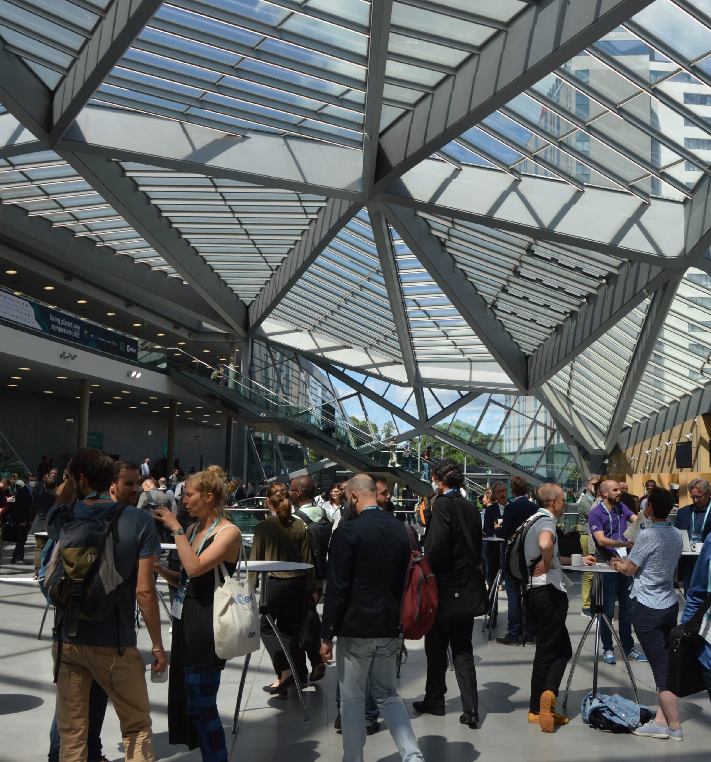
Booths, poster presentations and coffee breaks invited to exchange, discuss and learn.


At the opening ceremony of the symposium, Yvonne Walz (UNU) presents, among others, the VALE project.

mundialis staff contributed to the current topics with posters and presentations.

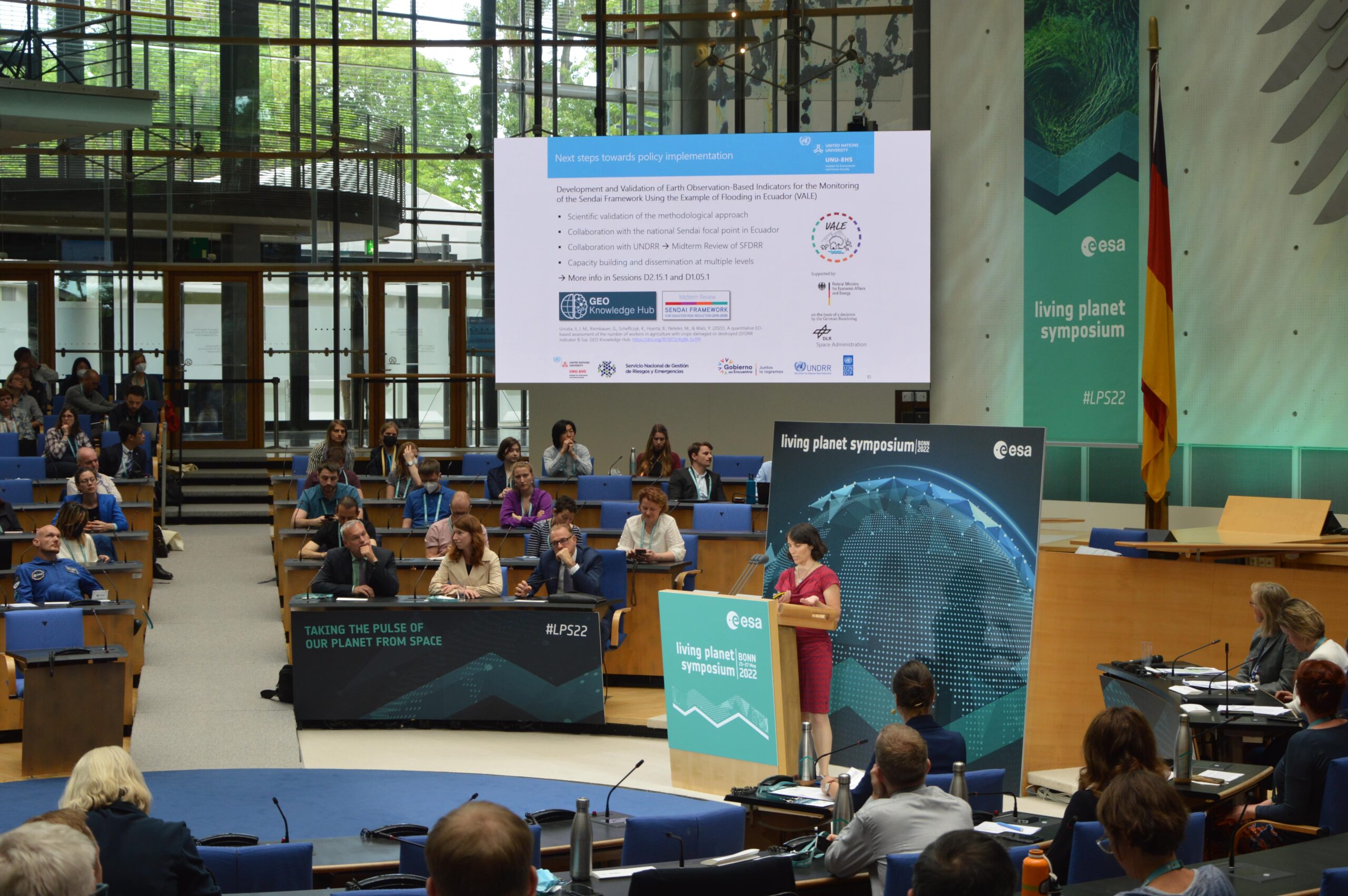
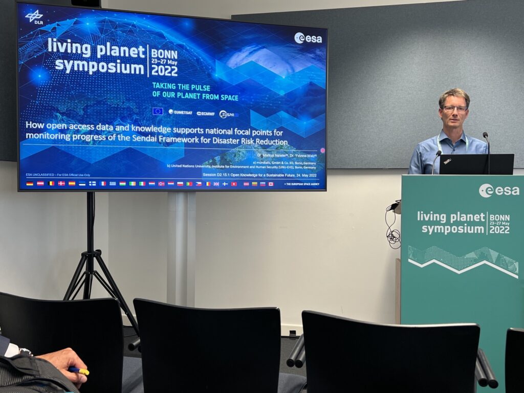
Together with our project partners of the “VALE” project, Markus Neteler presented how freely accessible Sentinel-1 data are used for monitoring floods in Ecuador. The project developed indicators that can be used to monitor the progress of the United Nations Sendai Framework for Disaster Risk Reduction.
The presentation was part of the lecture series of the GEO Knowledge Hub, a free resource collection on reproducible knowledge and methodology of Earth observation. Results and documentation on flood monitoring in Ecuador are published on the Geo Knowledge Hub.

Another presentation by Guido Riembauer focused on using earth observation data and technologies to assess natural risks for companies.
As part of an ongoing project with the World Wide Fund for Nature (WWF), a platform is being developed that will enable investors and financial institutions to assess nature risks for their portfolios (read more here).

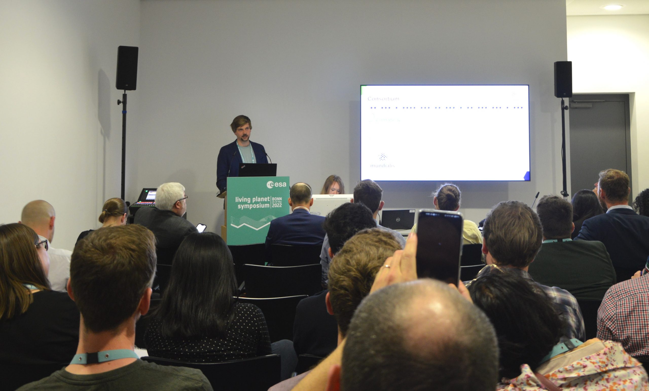
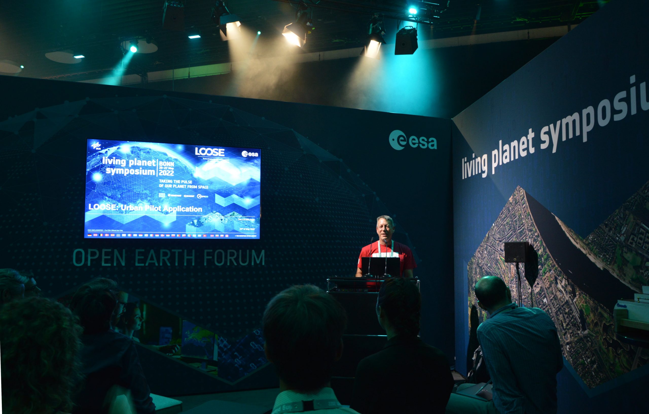
At the Open Earth Forum, Markus Metz presented the work of mundialis in the “LOOSE” project, in which new technologies are being investigated and implemented to support the processing and management of long Earth observation time series.

Guido Riembauer presents the the project on biodiversity risks for investors.


Markus Metz presents the work of mundialis on the “LOOSE” project.


Markus Neteler presents results of the VALE project related to the Sendai framework for Disaster Risk Reduction

Markus Neteler presents results of the VALE project related to the Sendai framework for Disaster Risk Reduction

Poster sessions

The evening poster sessions gave the opportunity to learn about a variety of research projects and to get into conversation with other scientists. Also mundialis could present some of its projects.

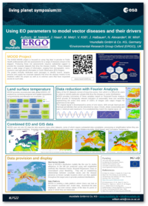
Part of this was the mundialis collaboration in the “MOOD” project. Here, Earth observation is used to monitor infectious diseases and their causative agents. mundialis provides data sets on environment and climate parameters to be integrated into modeling.

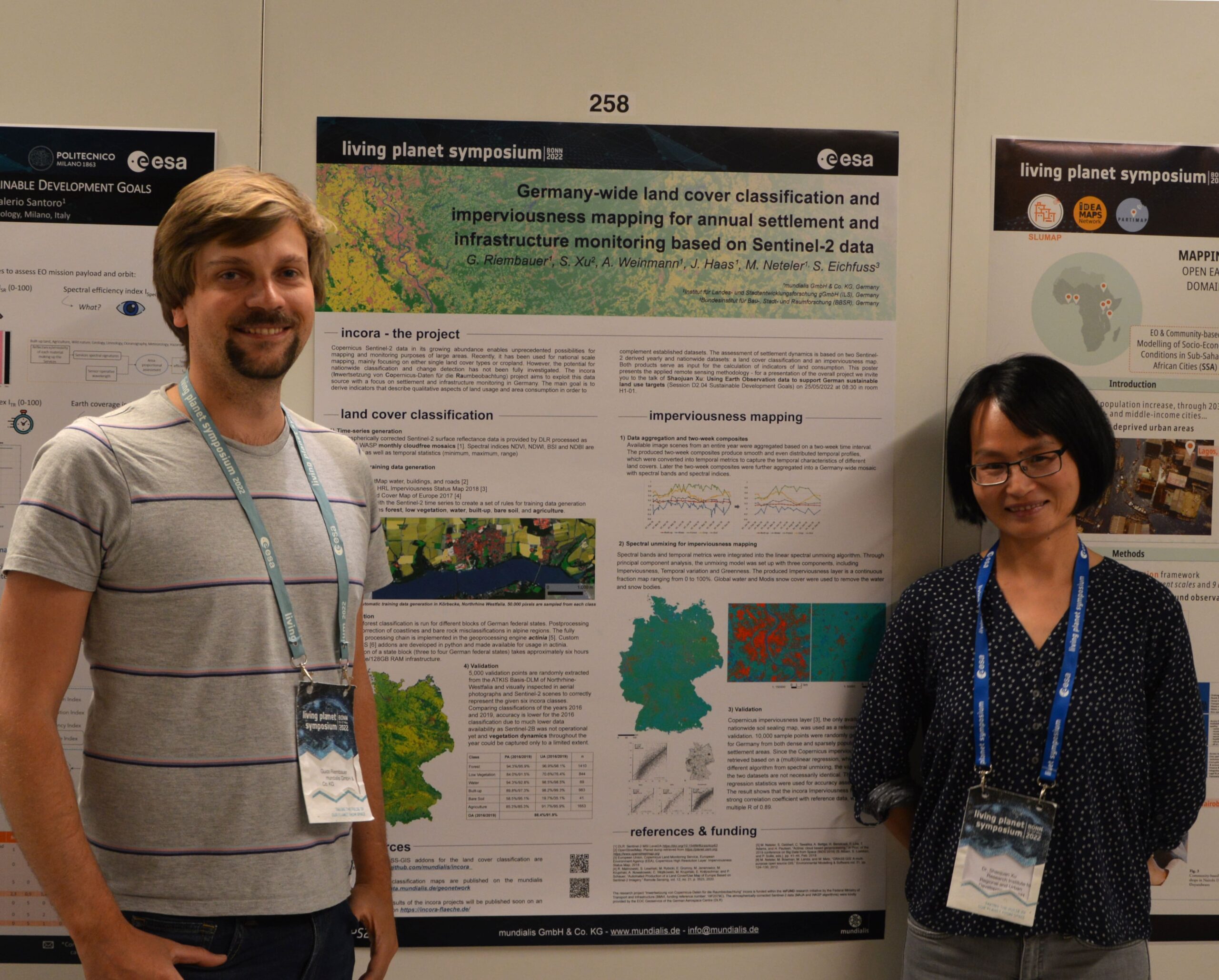
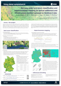
Another poster presented the “incora” project, in which a nationwide classification of land cover (and a visualisation of change thereof) and mapping of settlement and infrastructure density based on Sentinel-2 data was created.

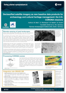
In addition, the processed images of the U. S. CORONA mission were sent. This 1960-1972 mission produced the first high-resolution optical spy satellites in the United States covering large areas. mundialis has developed a technology to orthorectify the unreferenced panorama scans of the analog CORONA photos in GRASS GIS to current map references.

Guido Riembauer (mundialis) and Shaojuan Xu (ILS) presenting the incora project during the poster session.

We had an exciting and successful week at the symposium! It was great to exchange ideas with other experts or to see familiar faces again and also to get to know interesting research projects and current technologies.

We publish our articles on zenodo, you will find a link to it here soon. Some low-resolution impressions of the posters are below:

The poster dealing with the incora project as presented during LPS 2022

The poster dealing with the incora project as presented during LPS 2022

The poster dealing with the MOOD project as presented during LPS 2022

The poster dealing with the MOOD project as presented during LPS 2022

The poster dealing with the DAI CORONA project as presented during LPS 2022

The poster dealing with the DAI CORONA project as presented during LPS 2022

If you missed the symposium but are interested in any of our topics, feel free to contact us.

Comments are currently closed.

Follow Us

Contact

mundialis GmbH & Co. KG
Kölnstrasse 99
53111 Bonn

Phone: +49 (0)228 / 387 580 80
Fax: +49 (0)228 / 962 899 57

E-Mail: info [at] mundialis [dot] de

Latest News

  • ++ Eine neue Heimat für Actinia ++

    Tuesday January 24th, 2023
  • Positive towards the future – Management changes at mundialis

    Tuesday October 4th, 2022
  • Recap of FOSS4G 2022 in Florence

    Friday September 16th, 2022
  • FOSS4G 2022 in “La Bella” – Greetings from Florence!

    Thursday July 14th, 2022
  • VALE project successfully completed

    Tuesday June 21st, 2022
View all News

Blog

  • Satellite image of the month – January – Yalu River (People’s Republic of China and Democratic People’s Republic of Korea) 2. January 2023
    Yalu River – People’s Republic of China and Democratic People’s ...
  • Satellite image of the month – December – Super Pit gold mine (Australia) 1. December 2022
    Super Pit gold mine – Australia, recorded by the Sentinel-2A ...
  • Satellite image of the month – November – Kufra-Oases (Libya) 1. November 2022
    Kufra-Oases – Libya, recorded by the Sentinel-2A satellite on March ...
View all Blog Posts

Copyright © 2015-2021 mundialis GmbH & Co. KG

Imprint Privacy

Theme created by PWT. Powered by WordPress.org