(The webinar will be held in german)
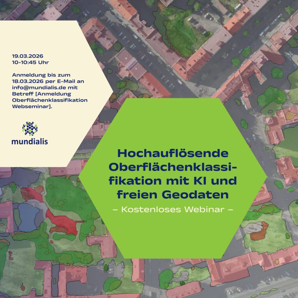
We invite you to our webinar, “High-Resolution Surface Classification with AI and Open Geospatial Data – Technology and Application Examples,” on March 19, 2026, from 10:00 to 10:45 AM.
What it’s about: In the second part of our impervious surface series, we demonstrate how freely available true orthophotos can be transformed into a differentiated, high-resolution land cover classification using modern AI architectures. Building on our flexible AI framework, we provide an overview of current developments in AI and demonstrate their added value for the semantic segmentation of urban surfaces. The goal is to reliably derive as many relevant surface classes as possible—creating a robust data foundation for municipal applications ranging from climate resilience to infrastructure planning.
Topics
- Data Basis: True orthophotos as nationally available open data
- Modern AI Architectures in Comparison
- Semantic Segmentation for Detailed Land Cover Classes
- Handling Challenges Such as Shadows and Varying Flight Dates
- Software Frameworks and Practical Implementation
- Use Cases
Registration
The webinar is free and will be held online on March 19, 2026, from 10:00 to 10:45 AM. Please register by March 18, 2026 by emailing info@mundialis.de with the subject line [Anmeldung Oberflächenklassifikation Webseminar]. The access link will be sent to you after registration.
We look forward to your participation!