Skip to content
Services
Products
Software
References
News
About us
Career
Services
Products
Software
References
News
About us
Career
English
German
English
German
Contact
News
An overview of all news.
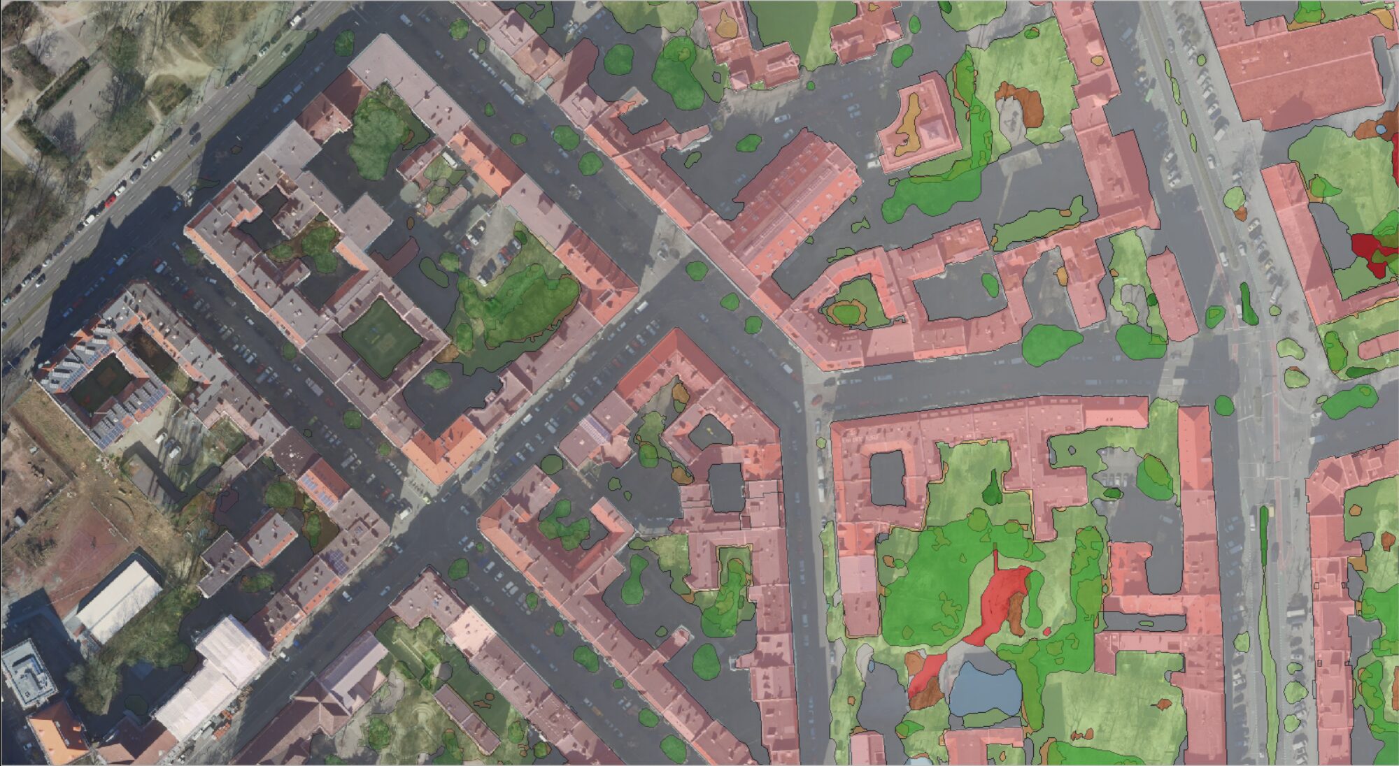
High-resolution surface classification with AI and open geodata – Webinar recording
How our Sentinel-1 satellite images are created
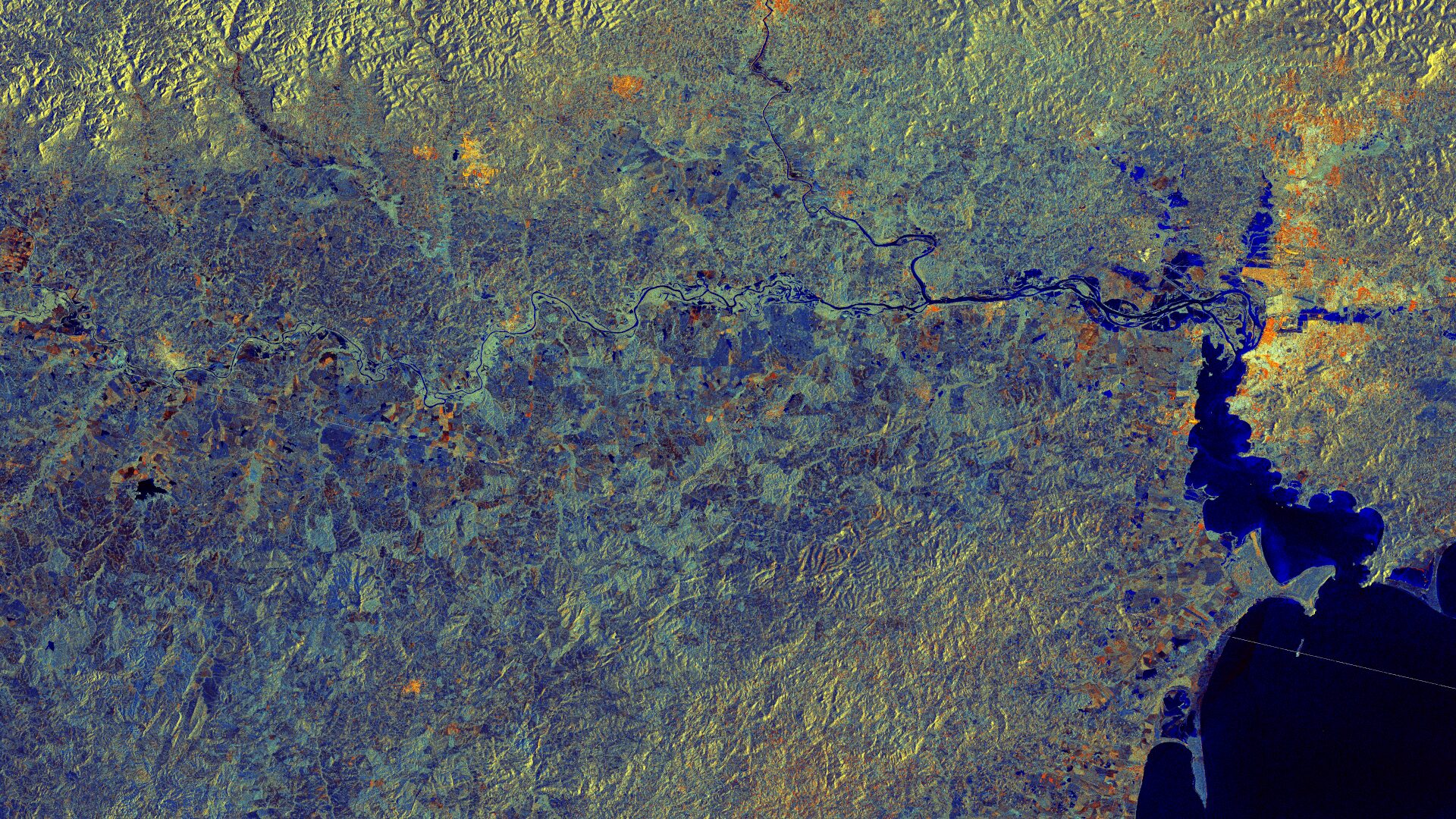
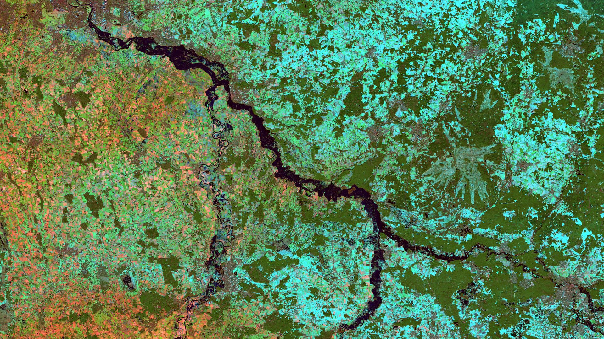
Satellite Image of the Month – March – Rio Grande do Sul (Brazil)
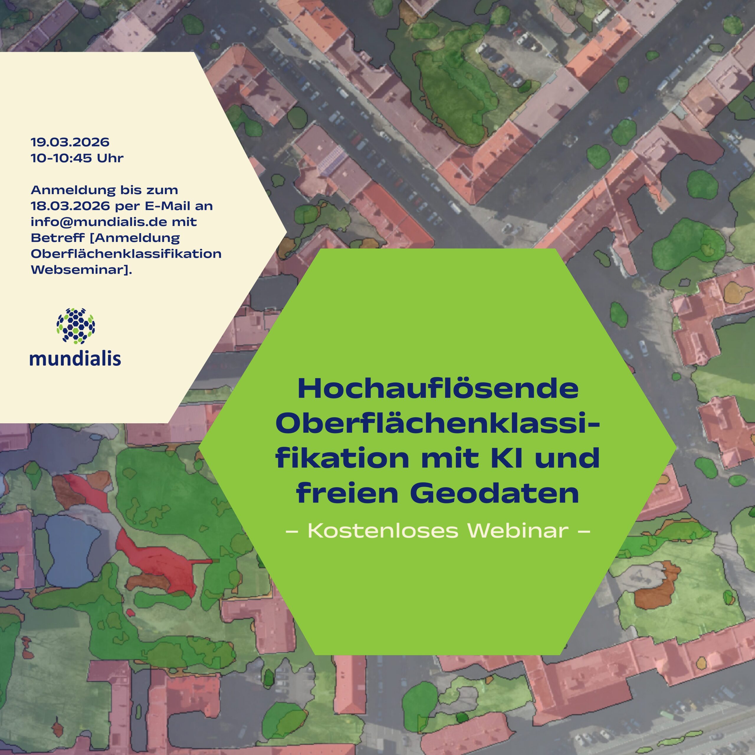
High-Resolution Surface Classification with AI and Open Geospatial Data – Webinar Invitatio
Our contributions at the FOSSGIS Conference 2026
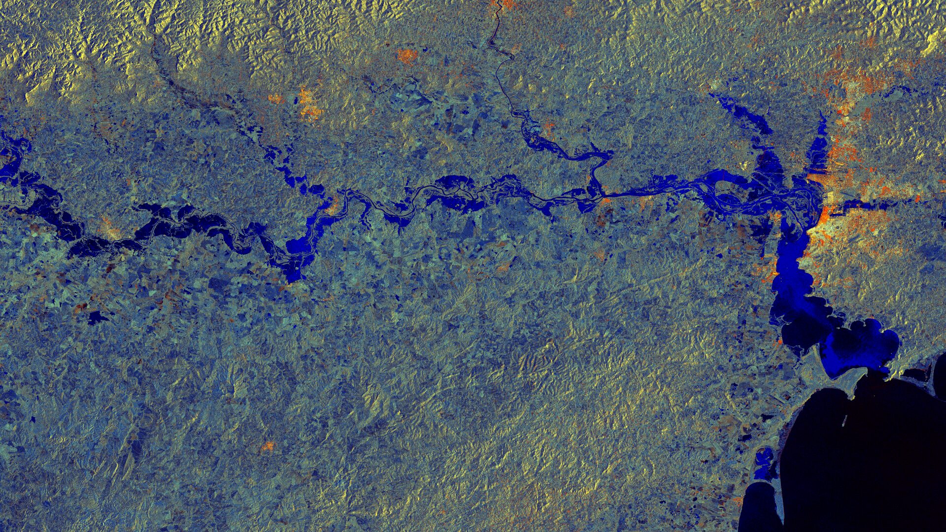
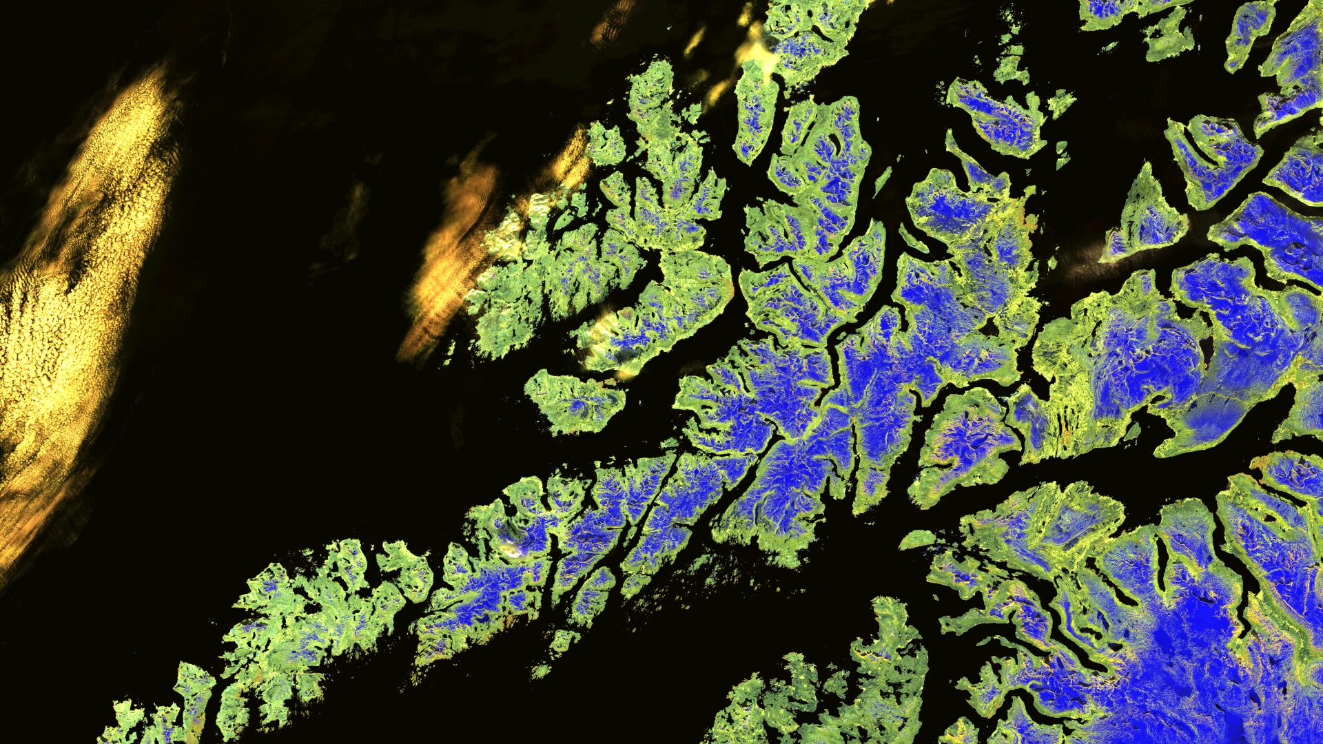
Satellite image of the month – February – Lower Saxony (Germany)
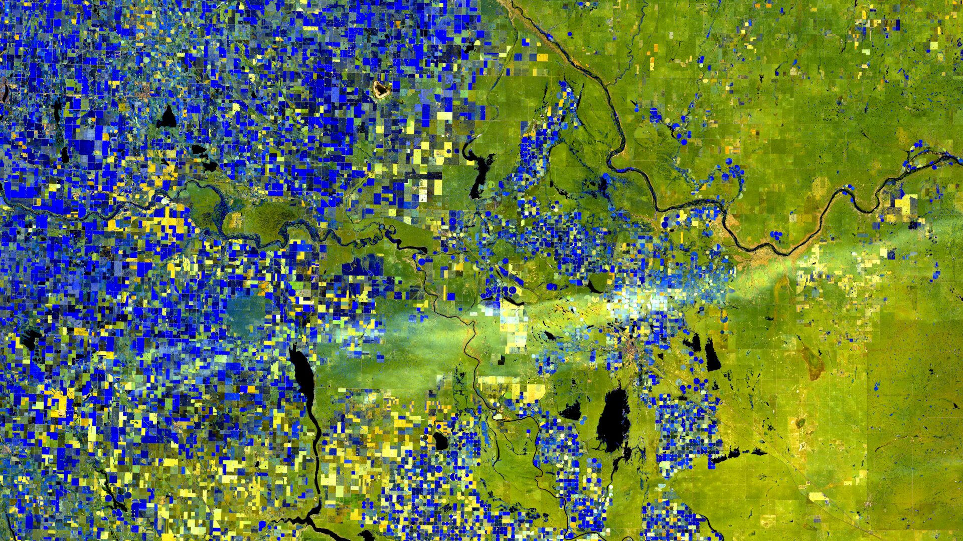
Satellite Image of the month – January – Alberta (Canada)
How We Create Our Satellite Images
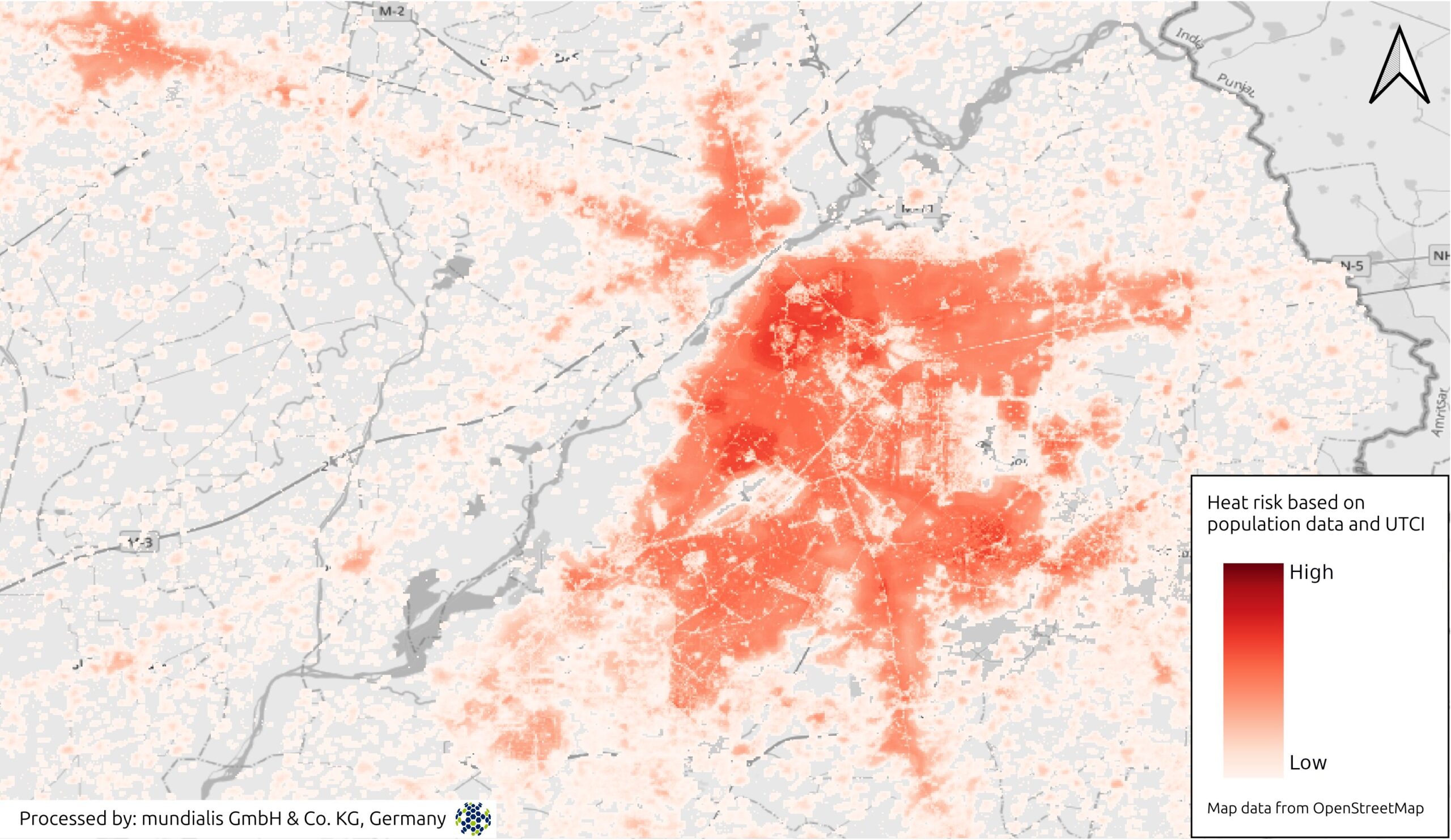
Heat Stress Maps – Webinar-recording now online
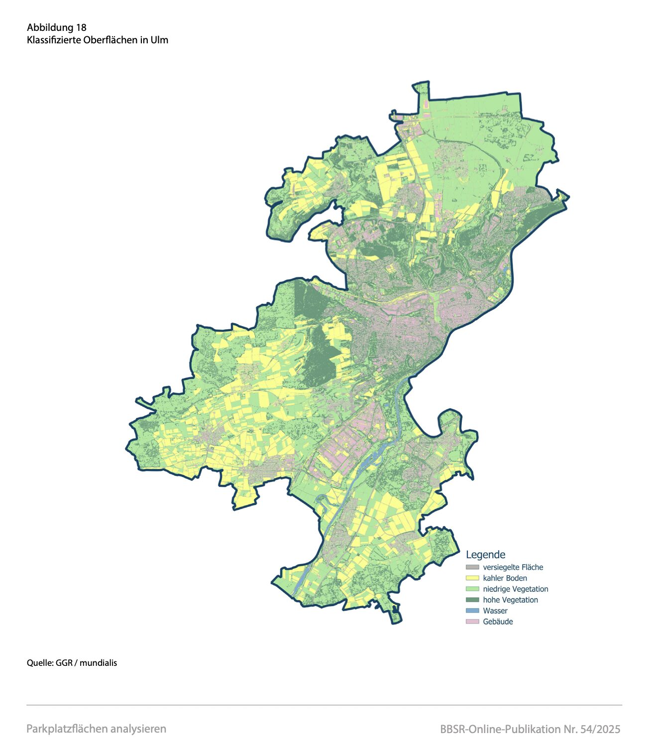
Projektabschluss: Transformationspotenziale großflächiger Parkplätze
Show more
Categories
General
Knowledge
Satellite image of the month
All
English
German
English
German
Services
Products
Software
References
News
About us
Career
Services
Products
Software
References
News
About us
Career
Kontakt
Github
Linkedin
Mastodon
Privacy Policy
Imprint
Privacy Policy
Imprint
English
German
English
German
Services
Products
Software
References
News
About us
Career
Services
Products
Software
References
News
About us
Career
Contact
Github
Linkedin
Mastodon
Privacy Policy
Imprint
Privacy Policy
Imprint