Skip to content
Services
Products
Software
References
News
About us
Services
Products
Software
References
News
About us
English
German
English
German
Contact
News
An overview of all news.
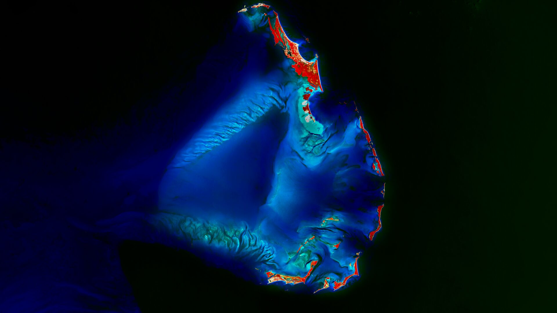
Satellite Image of the month – December – Berry Islands (Bahamas)
Our CO₂e compensation for 2024
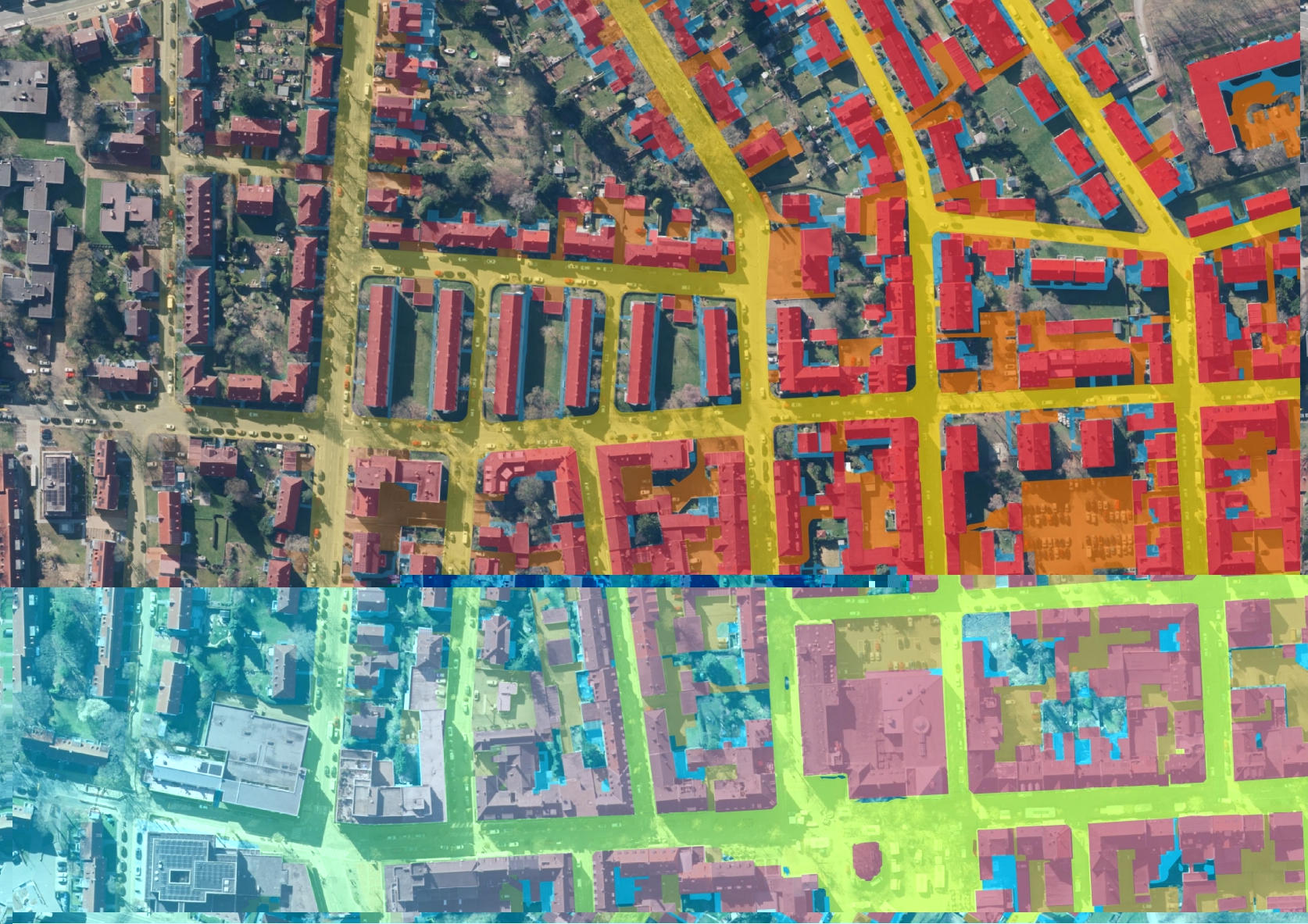
KI-gestützte Versiegelungsanalyse – Webinar-Aufzeichnung jetzt verfügbar
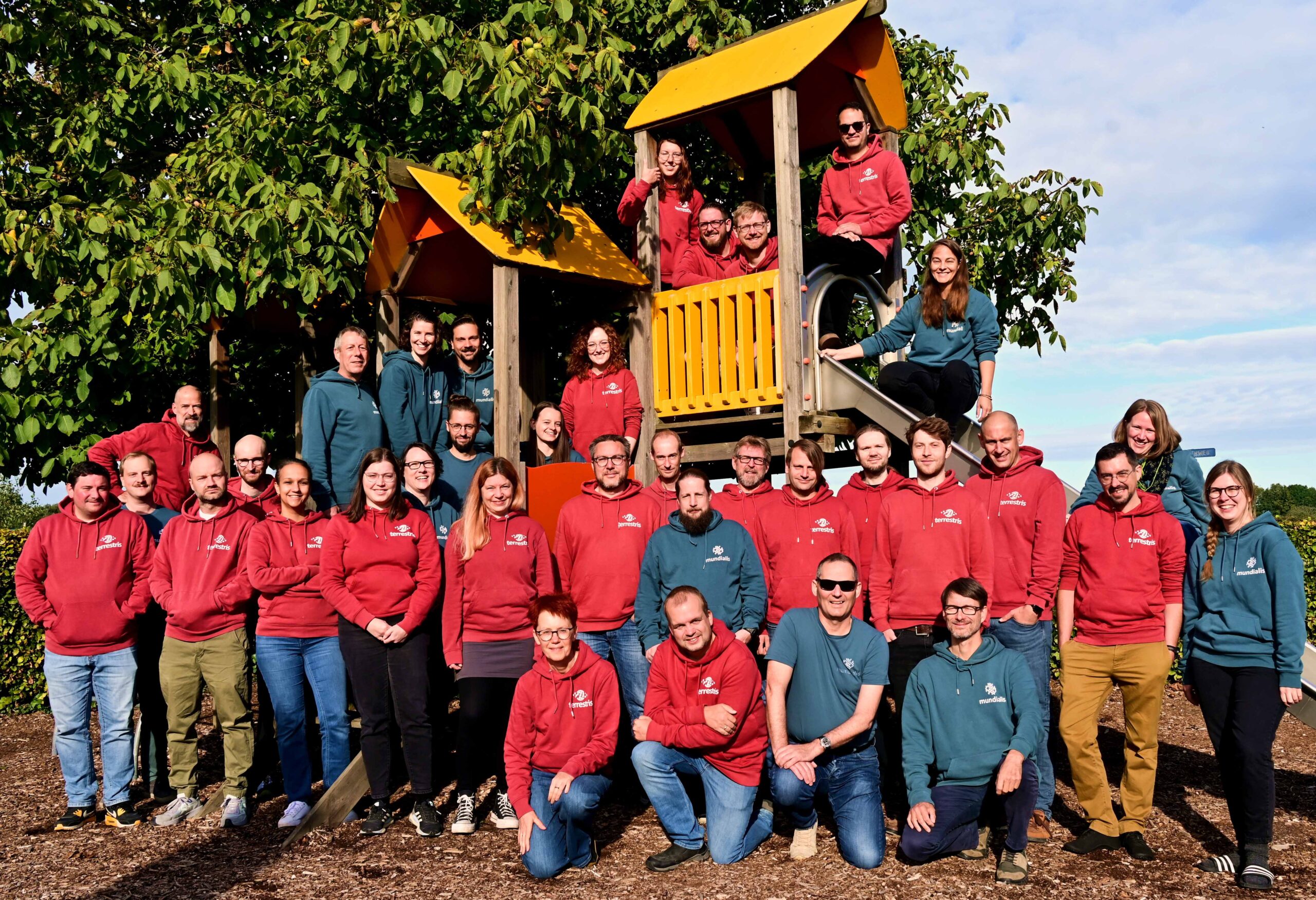
Looking Back on Our Team Retreat in Slenaken
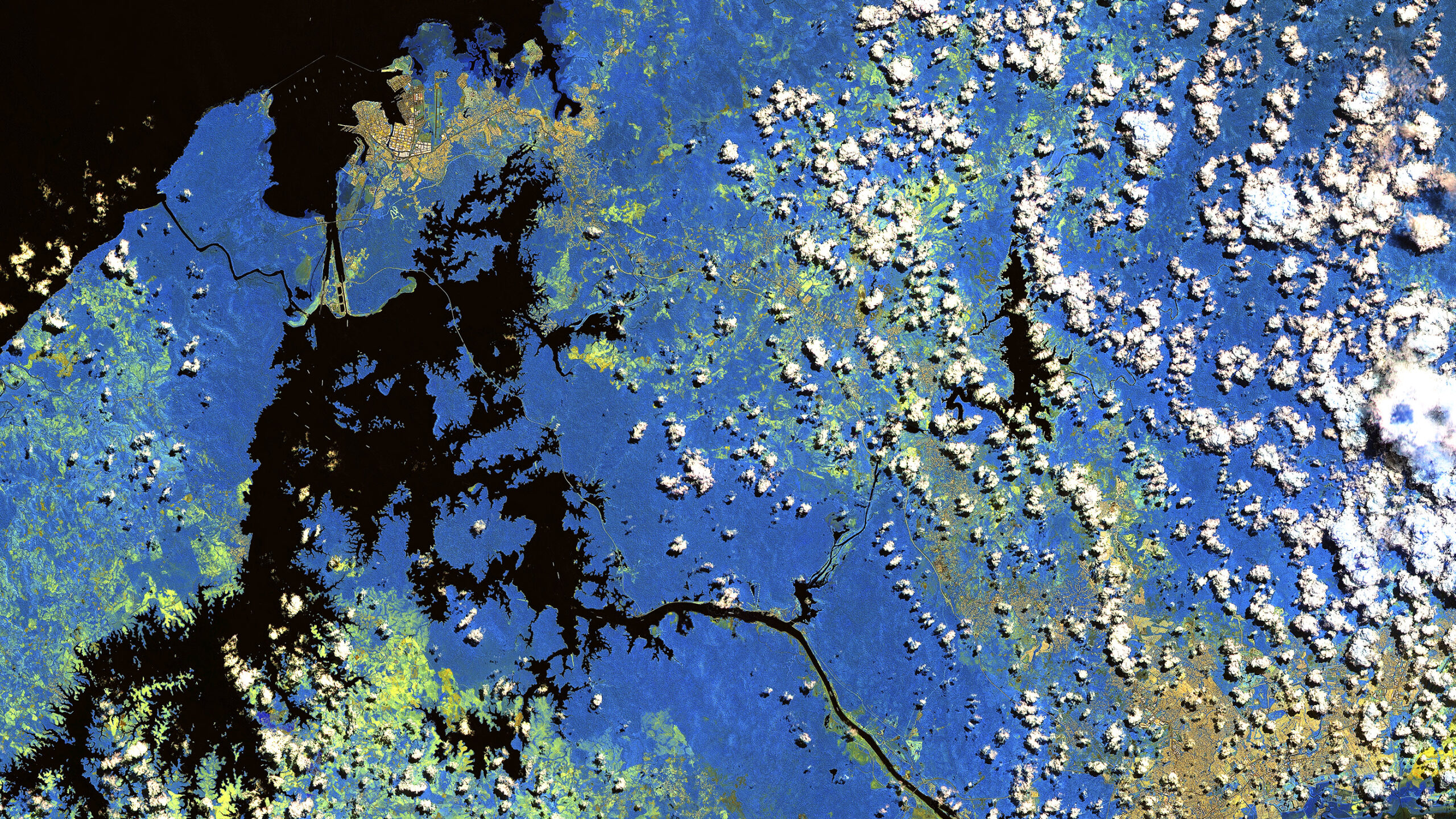
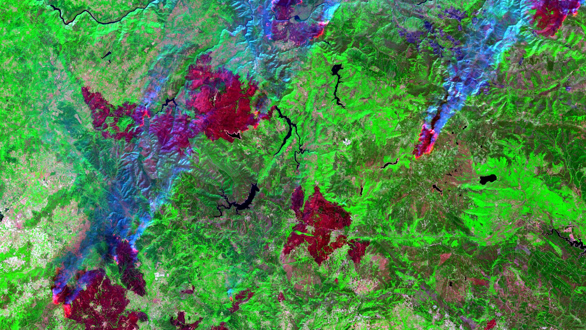
Satellite Image of the month – November – Macizo Central Orensano (Spain)
mundialis is now a member of the Open Source Business Alliance!
Einladung zum Webseminar „KI-gestützte Versiegelungsanalyse”
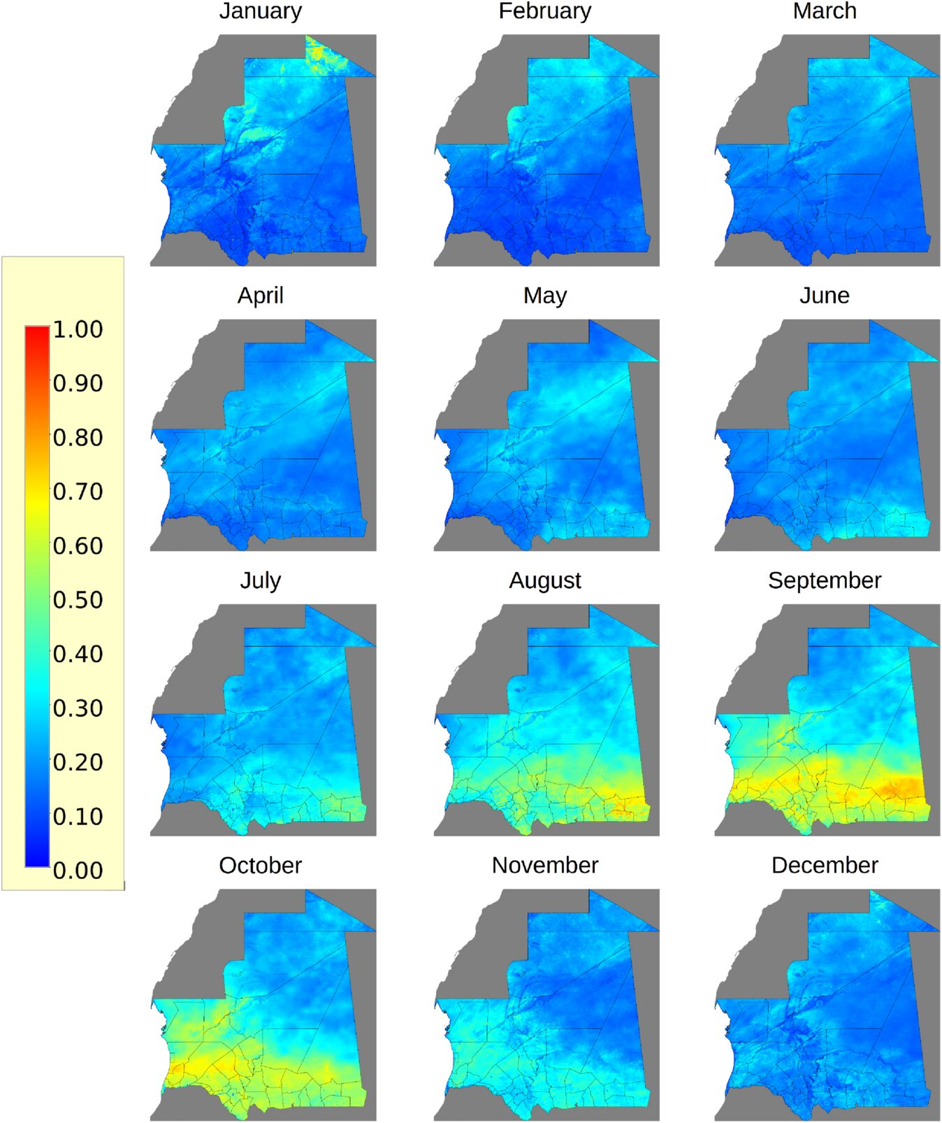
New publication: Geospatial modelling to support Rift Valley fever surveillance in Mauritania
Waldmonitoring mit Sentinel-2 – Webinar-Aufzeichnung
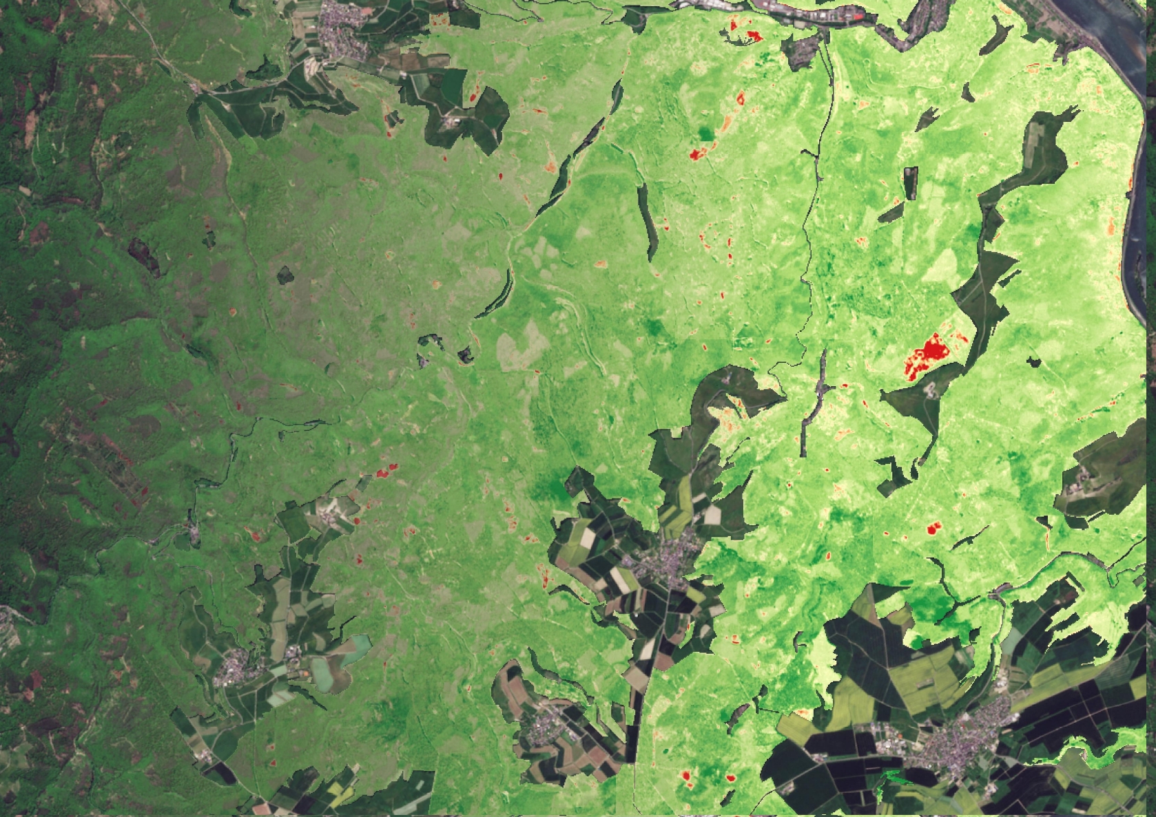
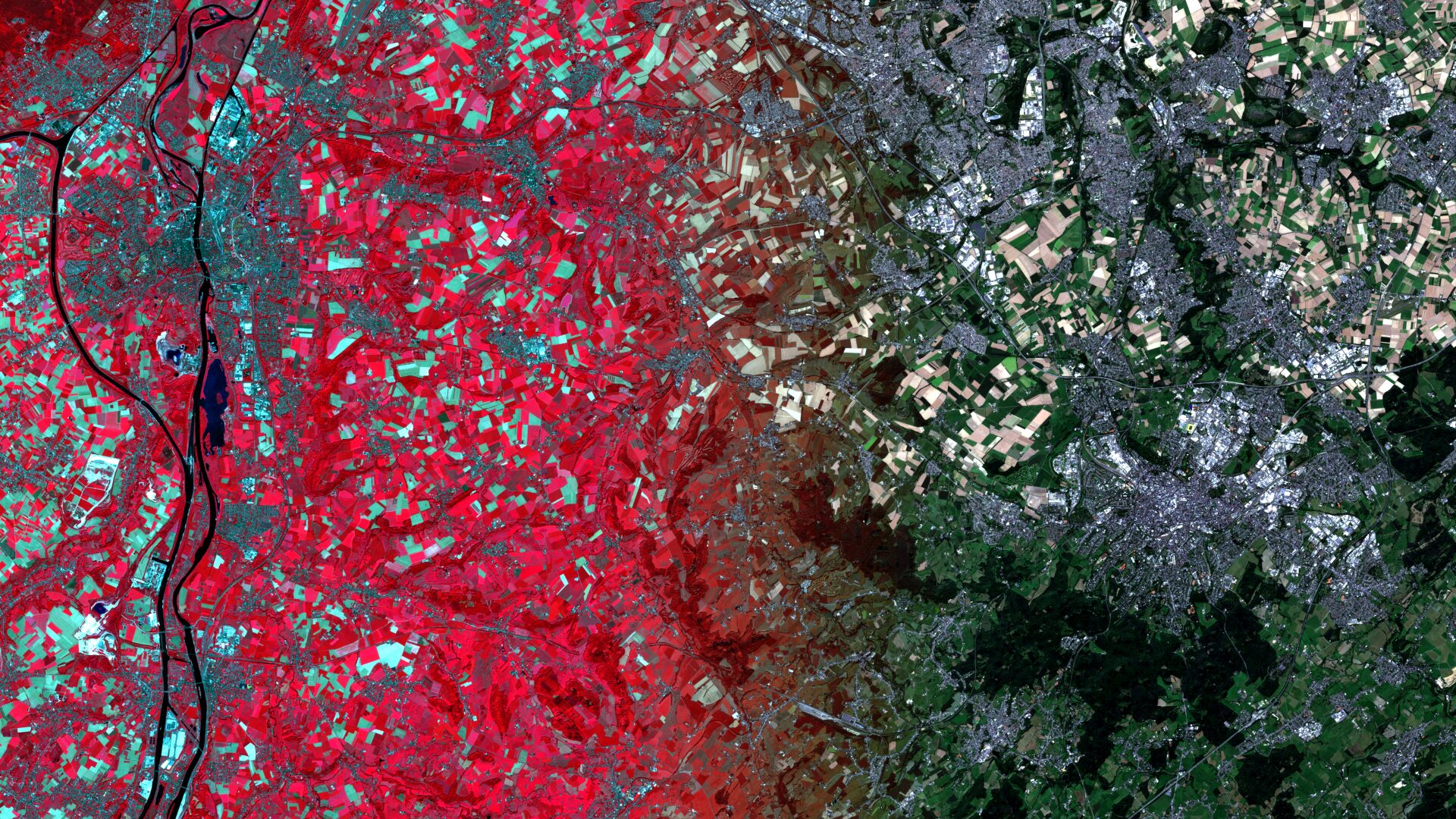
Satellite image of the month – October – Aachen/Maastricht (Germany/Netherlands)
Show more
Categories
General
Knowledge
Satellite image of the month
All
English
German
English
German
Services
Products
Software
References
News
About us
Services
Products
Software
References
News
About us
Kontakt
Github
Linkedin
Mastodon
Imprint
Imprint
English
German
English
German
Services
Products
Software
References
News
About us
Services
Products
Software
References
News
About us
Contact
Github
Linkedin
Xing
Twitter
Mastodon Logo
Imprint
Imprint