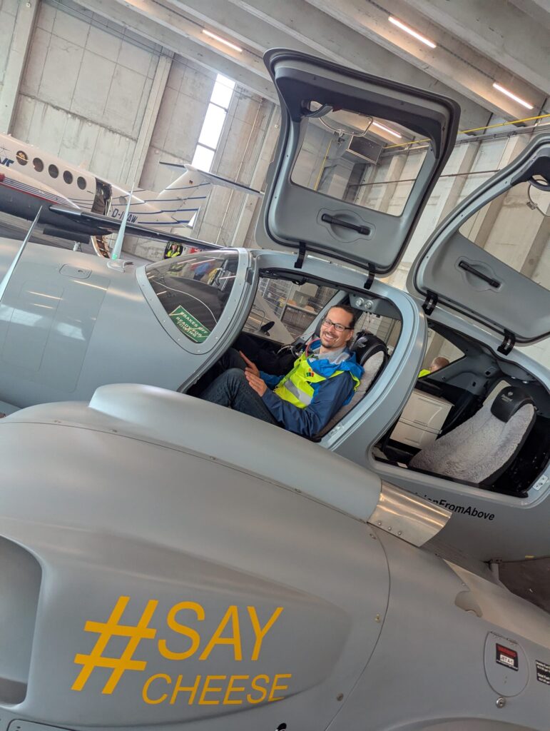
Last week, we had the opportunity to gain fascinating insights into the technology of aerial imaging at this year’s Open Day Photogrammetry at Dortmund Airport – including a close-up look at the specially equipped aircraft regularly used for aerial surveys.

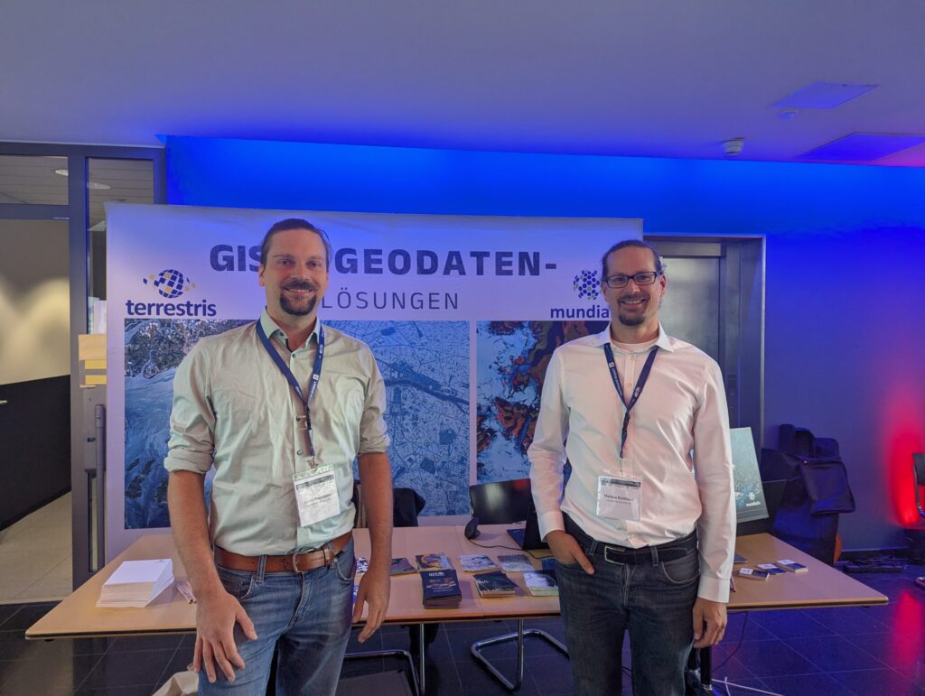
As a company that uses aerial imagery as a data foundation, we hosted a workshop on the topic of sealed surface classification, where we presented our methodology: How can sealed surfaces be detected automatically – and what role does artificial intelligence play in this process?
Many thanks to Aerowest, geoplana, AVT Airborne Sensing, BSF Swissphoto and GeoFly for the excellent organization, and to everyone we had the chance to connect with. See you next year!

