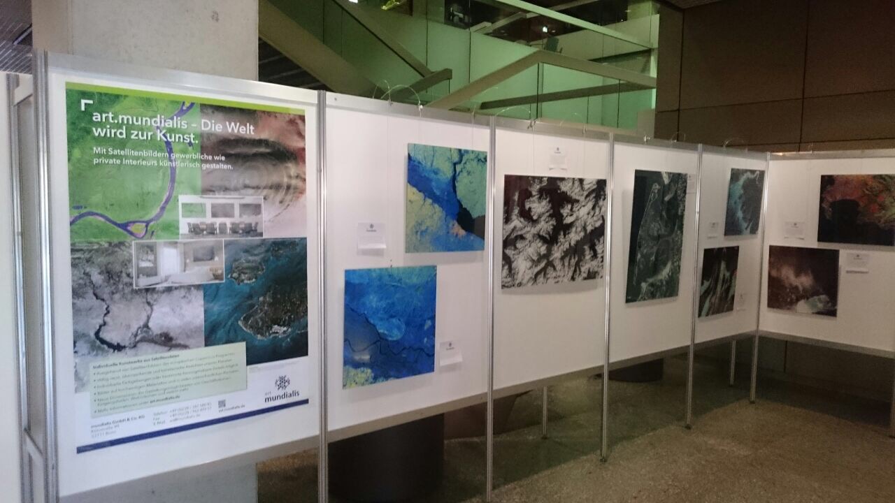
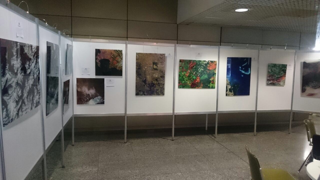
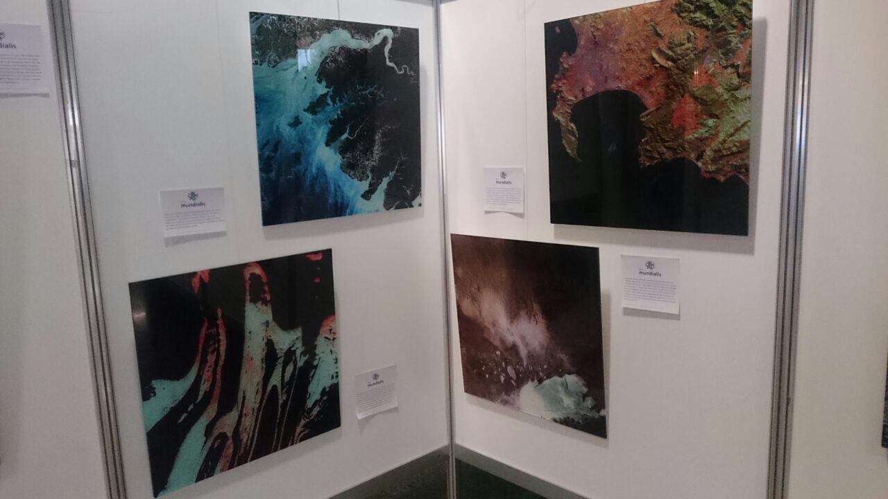
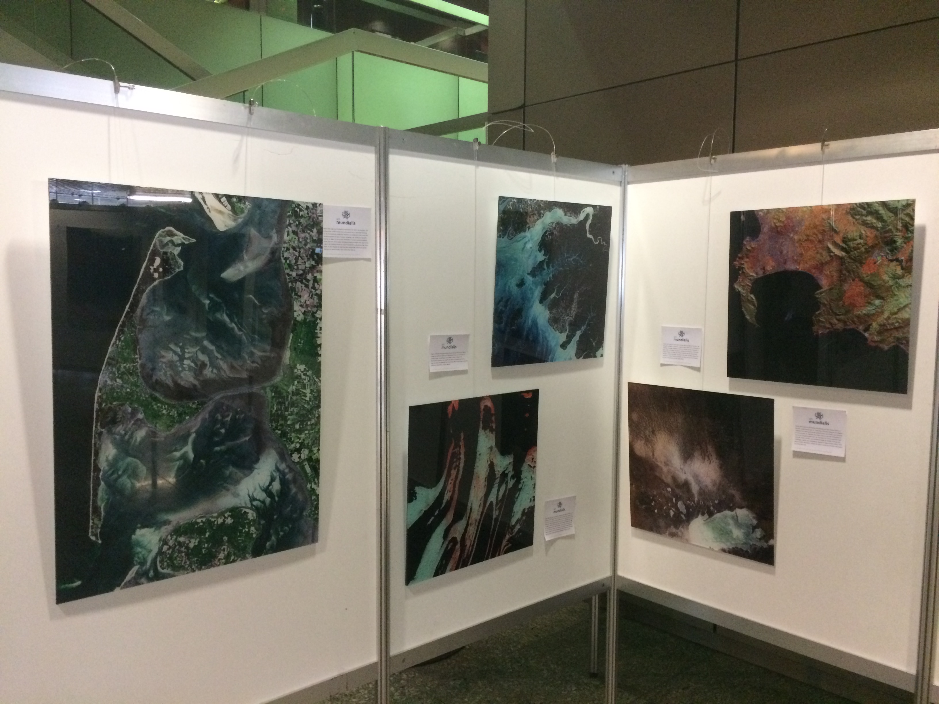
Menu
  • About us
    • Company
    • Team
    • Career
    • References
    • Partners
    • Contact
  • Products
    • Imperviousness assessment
    • Tree detection
    • Earth Observation metadata enhancer
    • Monitoring of land use changes
    • Temperaturdaten
    • LST-Data Client
    • Trainings
  • Services
    • actinia – geoprocessing in the cloud
    • Geospatial and EO data analysis
    • CORONA spy satellite data
    • maps.mundialis
    • Web Map Services
    • GIS Development
    • Open Source GIS
  • Markets
    • Remote Sensing for Agriculture
    • Satellite Images for Forest and Land Cover Restoration
    • Glass fibre route planning – FTTH
    • Copernicus and Sentinel
  • News & Blog
    • News
    • Blog
    • Satellite image of the month
  • English English
  • Deutsch Deutsch

The exhibition of art.mundialis in the city hall of Bonn has begun


13. June 2017 | Category General

Since Monday 12th of June 2017, citizens and visitors of the city hall in Bonn are welcome to visit the exhibition with selected pictures of art.mundialis during the opening hours in the foyer.

Presented are satellite images with regions from all over the world, such as the Cologne-Bonn region, the Swiss Alps, the island of Sylt, the Cape of Good Hope in South Africa, the Etosha Pan in Namibia, the Eye of Africa in Mauretania and many more.

Please do not hesitate to contact us for personal guided tours.

Further information can be found here.


Leave a Reply Cancel reply

Your email address will not be published. Required fields are marked *

Follow Us

Contact

mundialis GmbH & Co. KG
Kölnstrasse 99
53111 Bonn

Phone: +49 (0)228 / 387 580 80
Fax: +49 (0)228 / 962 899 57

E-Mail: info [at] mundialis [dot] de

Latest News

  • Conclusion of the FAIR Project

    Wednesday April 19th, 2023
  • FOSSGIS 2023 – this time in Berlin again!

    Tuesday February 21st, 2023
  • ++ Eine neue Heimat für Actinia ++

    Tuesday January 24th, 2023
  • Positive towards the future – Management changes at mundialis

    Tuesday October 4th, 2022
  • Recap of FOSS4G 2022 in Florence

    Friday September 16th, 2022
View all News

Blog

  • Satellite image of the month – May – Eleuthera (The Bahamas) 2. May 2023
    Eleuthera – The Bahamas, recorded by the Sentinel-2B satellite on ...
  • Satellite image of the month – April – Khartoum (Sudan) 4. April 2023
    Khartoum – Sudan, recorded by the Sentinel-2A satellite on May ...
  • Satellite image of the month – March – Berlin (Germany) 7. March 2023
    Berlin – Germany, recorded by the Sentinel-2B satellite on September ...
View all Blog Posts

Copyright © 2015-2023 mundialis GmbH & Co. KG

Imprint Privacy

Theme created by PWT. Powered by WordPress.org