
![]()
Am 30. Mai nahmen rund 8.000 Menschen am Global Landscapes Forum (GLF) Investment Case in Washington, DC teil, um Kapital für die Wiederherstellung der Landschaft und nachhaltige Investitionen zu mobilisieren. Rund 3,6 Millionen Menschen wurden über Social Media mit fast 500.000 Likes, Kommentaren und dem Teilen von Beiträgen rund um das Gespräch erreicht.
Zu den Akteuren gehörten lokale Fachleute, Investoren und politische Entscheidungsträger, die zusammen kamen, um Fachwissen und Investitionsmöglichkeiten auszutauschen.
Dr. Hajar Benelcadi von mundialis war vor Ort, um das Projekt EO-li (Earth Observation based location identifier) vorzustellen. Hajar ist Senior Spezialist für Erdbeobachtung bei der mundialis GmbH & Co. KG. Ihre Expertise umfasst Satelliten Synthetic Aperture RADAR (SAR) und optische Bildverarbeitung und -analyse für die Bereiche Waldüberwachung, Agroforstwirtschaft und Landbedeckung/Landnutzung im Kontext des Klimawandels.
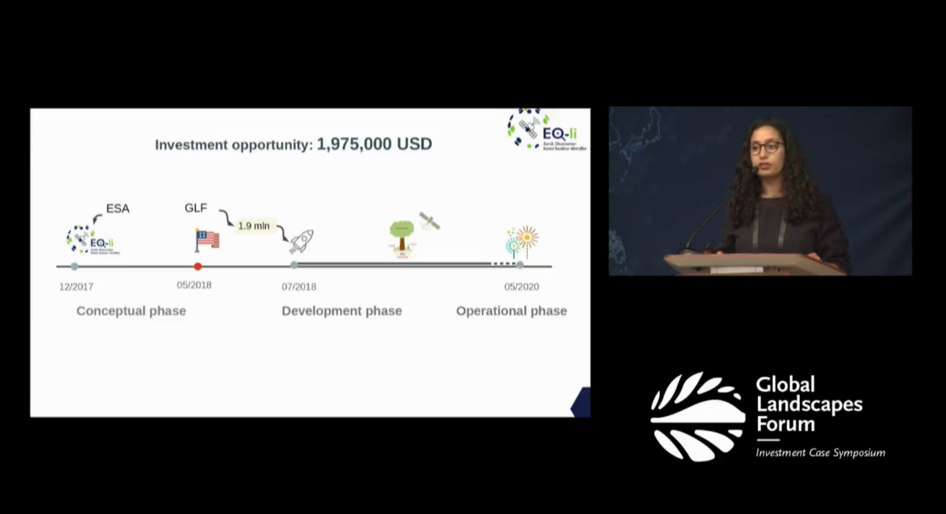
Auf dem Global Landscape Forum – Investment Case in Washington D.C., USA, fand eine so genannte “Dargons’ Den”-Veranstaltung statt, bei der ausgewählte Projekte rund um die Landgewinnung ihre Idee vor Investoren und einem interessierten Publikum präsentieren konnten. Das EO-li Projekt wurde als eines von vier Projekten zur Präsentation auf der Bühne ausgewählt.
Hajar präsentierte in der Dragons’ Den Veranstaltung auf der GLF EO-li, eine globale Plattform mit vier Komponenten für die Landgewinnung. Die Vision der EO-li-Plattform ist es, die Umsetzung eines multisektoralen Restaurierungsprojekts zu erleichtern, indem sie “Transparenz”, “Rückverfolgbarkeit” und “Flexibilität” für den gesamten Prozess von der Identifizierung des Projektstandorts bis hin zum Lernen der Lehren daraus bietet.
Das EO-li-System besteht aus vier Servicekomponenten: (1) Identifizierung der zu sanierenden Flächen, (2) Verbindung der verschiedenen Akteure über ein Marktplatzsystem, (3) Überwachung des Fortschritts der durchgeführten Sanierungsprojekte und (4) Sensibilisierung.
Den Videostream dieser Präsentation finden Sie hier: https://events.globallandscapesforum.org/washingtondc-2018/dragons-den/
(Die EO-li Präsentation beginnt in Minute 44:30.)