Wälder haben für viele Ökosysteme und das Klimasystem der Erde eine große Bedeutung und dienen zahlreichen Arten als Lebensraum. Eine weitere wichtige Funktion haben Wälder in den hydroklimatischen Prozessen im Klimasystem der Erde inne. Sie leisten einen großen Beitrag zur Verdunstung und zur Temperaturregulation, tragen zum Schutz vor Naturgefahren wie Erdrutschen, Bodendegradierung oder Lawinen bei. Wälder sind riesige Kohlenstoffspeicher, die CO2 in ihrer Biomasse für lange Zeit einlagern können. Die Gefährdung der Wälder ist daher eines der größten Umweltprobleme unserer Zeit und hat vielfältige Auswirkungen auf den Menschen.

Wenn Wald zerstört oder in seiner Zusammensetzung verändert wird, dann ist dies ein Eingriff in ein natürliches System mit Auswirkungen unter anderem auf die Biodiversität, den Wasserkreislauf und das Klima. Waldrodungen sind mitverantwortlich für den Klimawandel, welcher in manchen Regionen auch Hitzewellen und lang anhaltende Dürreperioden, wie es derzeit in Deutschland der Fall ist, zur Folge hat.
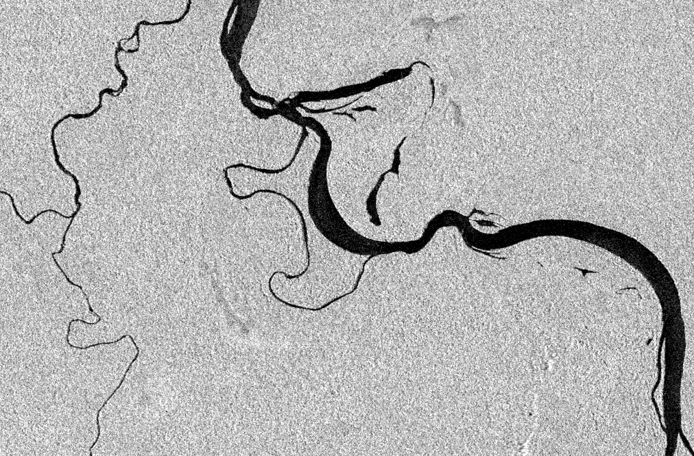
Im Auftrag der Gesellschaft für Internationale Zusammenarbeit (GIZ) hat mundialis an einem Projekt zur Kartierung der Waldbedeckung zu unterschiedlichen Zeitpunkten in Guyana gearbeitet. Übergeordnetes Ziel dieser Studie war es, die Veränderungen der Waldbedeckung im Untersuchungsgebiet “Iwokrama” in Guyana zu erfassen.
Die Analyse basiert auf Satelliten-Fernerkundungsdaten, insbesondere Radio Detection And Ranging (RADAR) Daten des Europäischen Fernerkundungssatelliten (ERS) und der Sentinel-1 Satelliten des Copernicus Erdbeobachtungsprogramms. Die Verwendung von RADAR-Daten stellt einen großen Vorteil dar, da sich das Untersuchungsgebiet in einer quasi permanent wolkenbedeckten Region befindet und Radarsatelliten unabhängig von der Wolkenbedeckung Beobachtungen durchführen können.
Neben der Kartierung selbst erstellte mundialis für die guyanischen Partner Schulungsmaterial, um einen professionellen Know-how-Transfer zum Einsatz der RADAR-Fernerkundungsdaten zu diesem Thema zu gewährleisten.


