Menu
  • About us
    • Company
    • Team
    • Career
    • References
    • Partners
    • Contact
  • Products
    • Imperviousness assessment
    • Tree detection
    • Earth Observation metadata enhancer
    • Monitoring of land use changes
    • Temperaturdaten
    • LST-Data Client
    • Trainings
  • Services
    • actinia – geoprocessing in the cloud
    • Geospatial and EO data analysis
    • CORONA spy satellite data
    • maps.mundialis
    • Web Map Services
    • GIS Development
    • Open Source GIS
  • Markets
    • Remote Sensing for Agriculture
    • Satellite Images for Forest and Land Cover Restoration
    • Glass fibre route planning – FTTH
    • Copernicus and Sentinel
  • News & Blog
    • News
    • Blog
    • Satellite image of the month
  • English English
  • Deutsch Deutsch

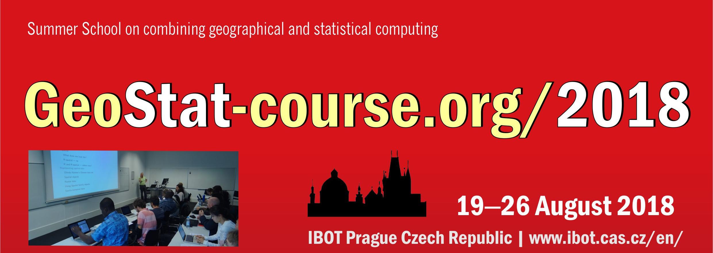
GEOSTAT 2018 Summer School in Prague


22. August 2018 | Category General

Since Sunday, August 19th, the GEOSTAT 2018 Summer School takes place in Prague for one week. This is already the 13th Summer School, in a series of other summer schools organized by R statistical language developers, open source GIS developers and other enthusiasts. GEOSTAT is currently being transferred to the new OpenGeoHUB Foundation.

GEOSTAT is aimed at PhD students and researchers in the field of environmental and GIS sciences and in particular at those who are concerned with the analysis of spatial and spatio-temporal grids and vector data. The basic idea of GEOSTAT is to promote and teach the different aspects of the statistical analysis of spatial and spatiotemporal data with the help of Open Source.

The 65 best applicants were individually selected and invited. The team of GEOSTAT lecturers also includes Dr. Markus Neteler, Managing Director of mundialis GmbH & Co. KG.

Markus Neteler will hold the workshop “Analysing environmental data with GRASS GIS” on Thursday, August 23, from 9:00 a.m. to 10:30 a.m., which will also be recorded and transmitted on video.

The video and further information about the 13th GEOSTAT Summer School will soon be available here.

Comments are currently closed.

Follow Us

Contact

mundialis GmbH & Co. KG
Kölnstrasse 99
53111 Bonn

Phone: +49 (0)228 / 387 580 80
Fax: +49 (0)228 / 962 899 57

E-Mail: info [at] mundialis [dot] de

Latest News

  • Conclusion of the FAIR Project

    Wednesday April 19th, 2023
  • FOSSGIS 2023 – this time in Berlin again!

    Tuesday February 21st, 2023
  • ++ Eine neue Heimat für Actinia ++

    Tuesday January 24th, 2023
  • Positive towards the future – Management changes at mundialis

    Tuesday October 4th, 2022
  • Recap of FOSS4G 2022 in Florence

    Friday September 16th, 2022
View all News

Blog

  • Satellite image of the month – May – Eleuthera (The Bahamas) 2. May 2023
    Eleuthera – The Bahamas, recorded by the Sentinel-2B satellite on ...
  • Satellite image of the month – April – Khartoum (Sudan) 4. April 2023
    Khartoum – Sudan, recorded by the Sentinel-2A satellite on May ...
  • Satellite image of the month – March – Berlin (Germany) 7. March 2023
    Berlin – Germany, recorded by the Sentinel-2B satellite on September ...
View all Blog Posts

Copyright © 2015-2023 mundialis GmbH & Co. KG

Imprint Privacy

Theme created by PWT. Powered by WordPress.org