
When restoring ecosystems usually several stakeholders are involved. First of all the local community will be involved, often supported by a non-governmental organisation (NGO) who will assume management functions. The local or regional government will have a role to play, as well as some organisation – maybe a large corporation – providing the funding which is essential for the project to happen in the first place. The local university might accompany the project from a scientific point of view. These different types of stakeholders all need to work together to succeed on their mission of ecosystem restoration.
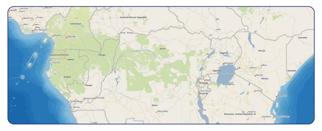
All projects have the spatial context in common and no matter whether trees are to be planted, watersheds are to be restored, wetlands, mangroves or biodiversity are to be protected all project members need up-to-date and accurate maps. The topics of the maps can range from topography, soils, precipitation, temperature, land use, infrastructure to population. Many more themes can be included; all of which will help to define both the status quo and also the trajectory of the work to be accomplished. When considering a few hectares good local knowledge and a penchant for discipline might be enough for project management but when a project encompasses tens of thousands of hectares then the support of specialized computer programs is needed.
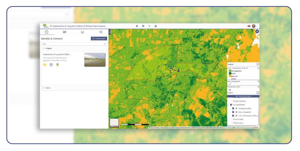
This is where the module “Organise & Implement” comes into play. On the one hand a lot of global geodata is already present in the system and on the other hand the project collaborators can easily incorporate their own data through uploading or digitizing in the platform itself. International standards, predominantly from the Open Geospatial Consortium, facilitate the integration of data through services and all data gets managed in one place. In this module users can combine these datasets and gain insights for their specific questions. The restoration or conservation activity very often constitutes a logistical problem in a spatial context where the project management has to determine who is going to do what, when, where and how. These decisions have to be communicated to the stakeholders and as the slightly altered saying goes “a map says more than a thousand words”. We all know that communication – which is well supported by said maps – is crucial for project organization, decision making and implementation.
Since HERMOSA comes with a fully operational geoprocessing engine, integrated storage and backup, geodata management is made especially easy. The maps that are created in the system can be exported digitally or printed on paper to be handed out to the local workforce if necessary. Since HERMOSA is an internet-based platform, collaboration between stakeholders who might be spread out over the globe is very simple. Additionally, the rights and role management ensures that only appropriately authorized members of the consortium are allowed to modify the data.
Contact sales@hermosa.earth today to get started!
reposted from https://hermosa.mundialis.de/news/feature-of-the-week-kw-12/