
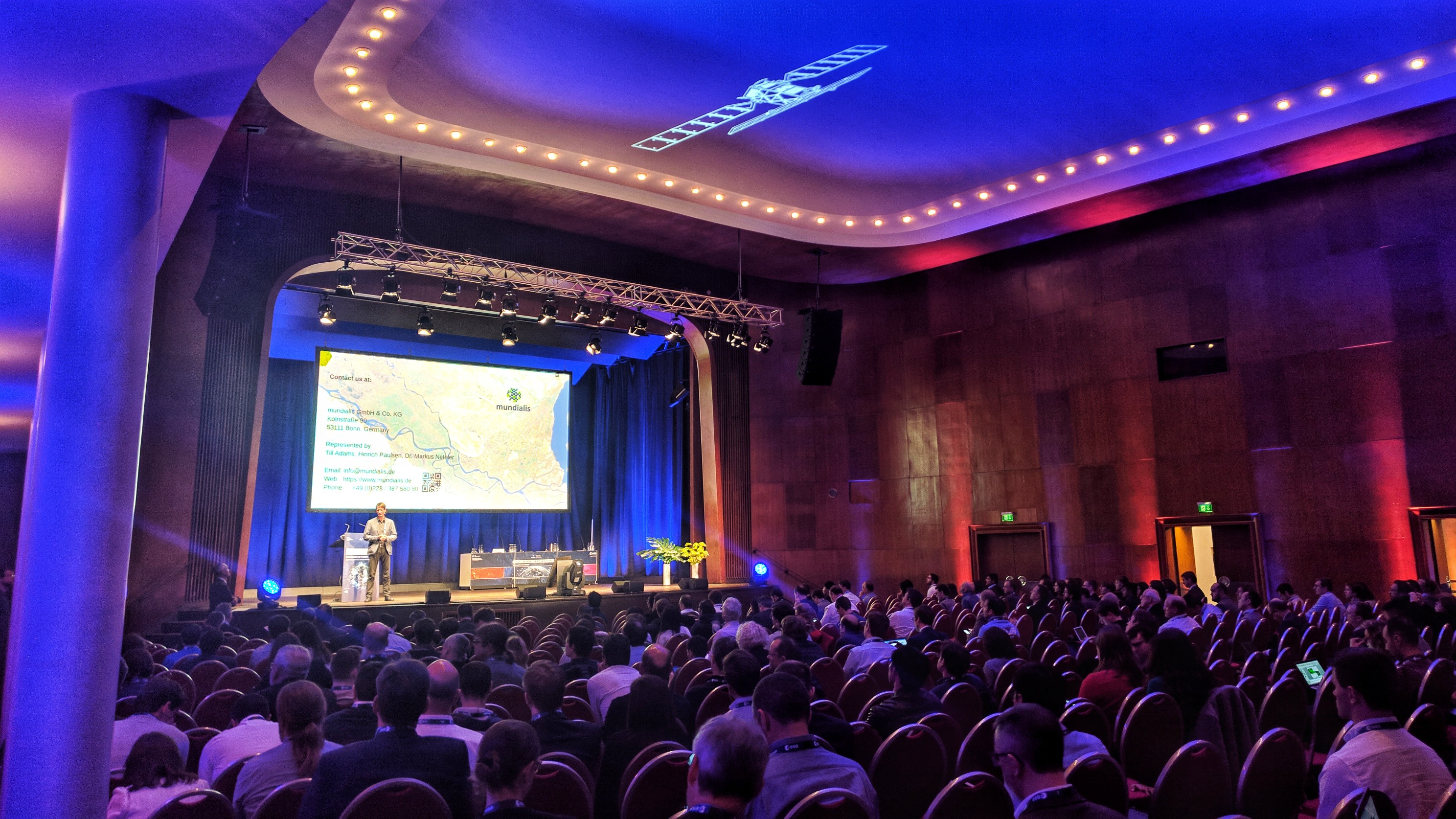
 Vor großem Publikum fand vom 19. bis 21 Februar 2019 in der Alten Kongresshalle in München die 2019 Big Data from Space (BiDS’19) – Turning Data into Insights Konferenz statt. Wichtige europäische Akteure einschließlich Forschung, Industrie, Institutionen und Nutzer waren auf der Konferenz vertreten.
In den spannenden und vielfältigen Vorträgen wurde erläutert, wie Verarbeitung und Analyse von den heute verfügbaren massiven raumzeitlichen Erd- und Weltraumbeobachtungsdaten sowie ihre synergetische Nutzung mit anderen Datenquellen nun v.a. cloud-basiert durchführbar ist. Diese Entwicklungen ermöglichen neue Ansätze und Anwendungen von der Erfassung von urbanen Gebieten bis hin zu Klimawandel und Sicherheit.
Der Fokus der BiDS’19-Konferenz lag auf neuen Methoden, die die gesamte Wertschöpfungskette von der Datenverarbeitung bis zur Extraktion von Informationen und Informationsanalyse anreichern.
mundialis war mit der Präsentation “Actinia: Cloud based Geoprocessing” vertreten (Folien, s.u.)
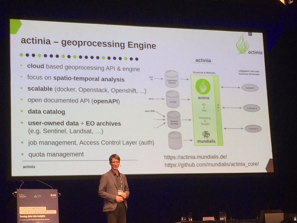 Wir zeigten auf, dass die Integration von Erdbeobachtungsdaten und weiteren Geodaten einen großen Mehrwert schafft, der bei einer getrennten Betrachtung nicht hebbar ist. Die von unserem Geschäftsführer Dr. Markus Neteler vorgestellte cloud-basierte Geoprozessplattform actinia ist in der Lage, große Mengen an bereits in der Cloud vorhandenen Daten aufzunehmen und zu analysieren. Durch die actinia REST API können Anwender nun EO- und Geodaten gemeinsam verarbeiten und analysieren. Dank der Skalierbarkeit von Cloud-Plattformen lassen sich Erkenntnisse und maßgeschneiderte Informationen nahezu in Echtzeit bereitstellen und in eigene Geschäftsprozesse integrieren. Actinia bietet eine Open-Source-REST-API für die skalierbare, verteilte und leistungsstarke Verarbeitung von Geodaten, die hauptsächlich GRASS GIS für die Rechenaufgaben verwendet.
Material:
- Die Folien unseres Konferenzbeitrages finden Sie hier: PDF (3 MB)
- “actinia” Artikel: PDF (100 kB)
- Die BIDS‘19 Conference Proceedings sind ebenfalls erhältlich: PDF (110MB)
Schlüsselwörter: Erdbeobachtungsanwendungen, GIS, Cloud-basierte Verarbeitung, Geospatialanalyse, Open Source