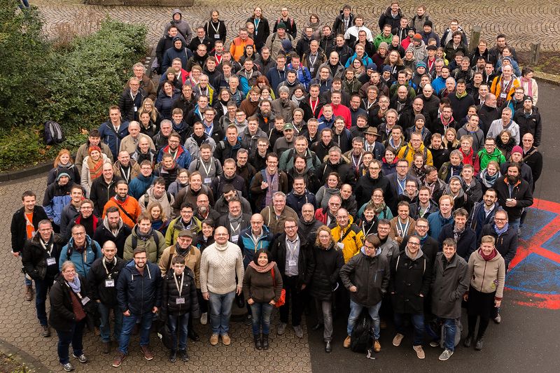
Menu
  • About us
    • Company
    • Team
    • Career
    • References
    • Partners
    • Contact
  • Products
    • Earth Observation metadata enhancer
    • Temperaturdaten
    • LST-Data Client
    • Trainings
  • Services
    • actinia – geoprocessing in the cloud
    • Geospatial and EO data analysis
    • CORONA spy satellite data
    • maps.mundialis
    • Web Map Services
    • GIS Development
    • Open Source GIS
  • Markets
    • Remote Sensing for Agriculture
    • Satellite Images for Forest and Land Cover Restoration
    • Glass fibre route planning – FTTH
    • Copernicus and Sentinel
  • News & Blog
    • News
    • Blog
    • Satellite image of the month
  • English English
  • Deutsch Deutsch

mundialis at the FOSSGIS 2018 in Bonn


16. April 2018 | Category General

FOSSGIS Conference 2018 group photo (F. Pauk / GIUB)


This year’s FOSSGIS Conference took place in Bonn from 21 – 24 March 2018. With a total of 465 participants, the conference was fully booked and we can look back on many interesting discussions with current and potential customers, business partners and community members.

The FOSSGIS conference was opened in the Wolfgang Paul Lecture Hall. The lectures took place in the Alfred-Philippson Lecture Hall of the Geographical Institute and in two lecture halls of the Geozentrum. Workshops were also offered in these historical buildings and in the old cartography building of the Institute for Geodesy and Geoinformation.

We would like to take this opportunity to thank all those involved who made sure that this event was a positive one all round. We can look back on a well organized conference with many highlights and are already looking forward to the FOSSGIS Conference 2019, which will take place from 13 – 16 March 2019 in Dresden.

A total of 75 lectures and 28 workshops was held at FOSSGIS. In particular, all presentations given at the FOSSGIS conference were recorded on video, which you can find here.

Here the presentations given by mundialis:

  • “News from the GRASS GIS project: version 7.4.0 is available” – Dr. Markus Neteler:
    • video and presentation slides
  • “OpenNRW and Open Source: Processing of Open (Geo-)Data of North Rhine-Westphalia with Open Source Tools” – Dr. Markus Neteler
    • video and presentation slides

The workshops offered by mundialis can be found here:

  • “Open data with Open Source – processing of Copernicus data with free (command line) software” – Carmen Tawalika
  • “Geodata processing with GRASS GIS” – Dr. Markus Neteler

Please do not hesitate to contact us if you have any questions!


Comments are currently closed.

Follow Us

Contact

mundialis GmbH & Co. KG
Kölnstrasse 99
53111 Bonn

Phone: +49 (0)228 / 387 580 80
Fax: +49 (0)228 / 962 899 57

E-Mail: info [at] mundialis [dot] de

Latest News

  • FOSS4G 2022 in “La Bella” – Greetings from Florence!

    Thursday July 14th, 2022
  • VALE project successfully completed

    Tuesday June 21st, 2022
  • Taking part in ESA’s Earth Observation conference / A look back on the LPS 2022

    Friday June 10th, 2022
  • Presenting at the ESA Living Planet Symposium 2022

    Tuesday April 19th, 2022
  • Le Kollektiv – Meeting in Bonn

    Monday March 28th, 2022
View all News

Blog

  • Satellite image of the month – August – Florence (Italy) 1. August 2022
    Florence – Italy, recorded by the Sentinel-2A satellite on March ...
  • Satellite image of the month – July – Delta du Saloum National Park (Republic of Senegal) 1. July 2022
    Delta du Saloum National Park – Republic of Senegal, recorded ...
  • Satellite image of the month – June – Prague (Czech Republic) 1. June 2022
    Prague – Czech Republic, recorded by the Sentinel-2A satellite on ...
View all Blog Posts

Copyright © 2015-2021 mundialis GmbH & Co. KG

Imprint Privacy

Theme created by PWT. Powered by WordPress.org