
Mitarbeiter der mundialis GmbH & Co. KG nahmen auch am diesjährigen Nationalen Copernicus Forum 2018 vom 27. bis 29. November 2018 in den Räumen des BMVI in Berlin teil.
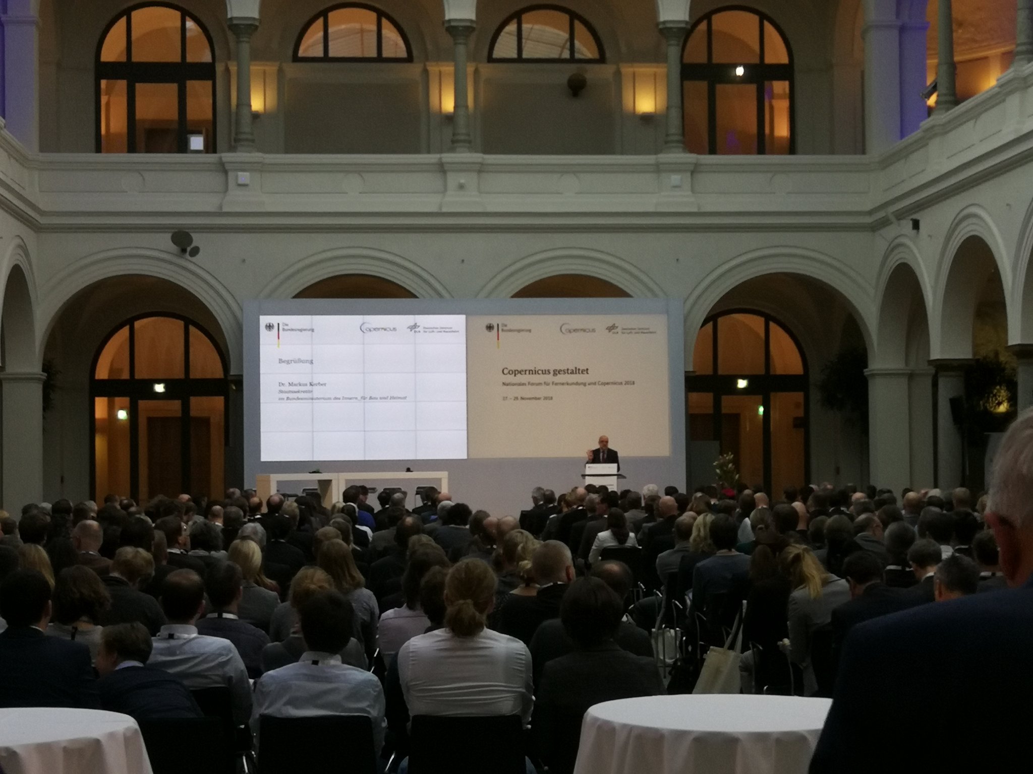 Das Forum bietet eine großartige Gelegenheit, sich einen aktuellen Überblick über die Nutzer und die Nutzung der Daten des Copernicus-Programms vor allem des deutschen öffentlichen und privaten Sektors zu verschaffen. Das Spektrum der Nutzung reicht von Land- und Forstwirtschaft, Bewertung von Naturgefahren, Insektenrückgang bis hin zu urbanen und Mobilitätsanwendungen.
mundialis war in diesem Jahr erstmals auch mit einem Stand vertreten. Dies wurde als Gelegenheit von vielen Teilnehmen wahrgenommen, sich über die vielfältigen Aktivitäten unseres Unternehmens zu informieren. Darüber hinaus hatten wir ein Poster zu einer sich aktuell in Entwicklung befindlichen Web-Plattform für “land restoration” namens TREEO im Gepäck. 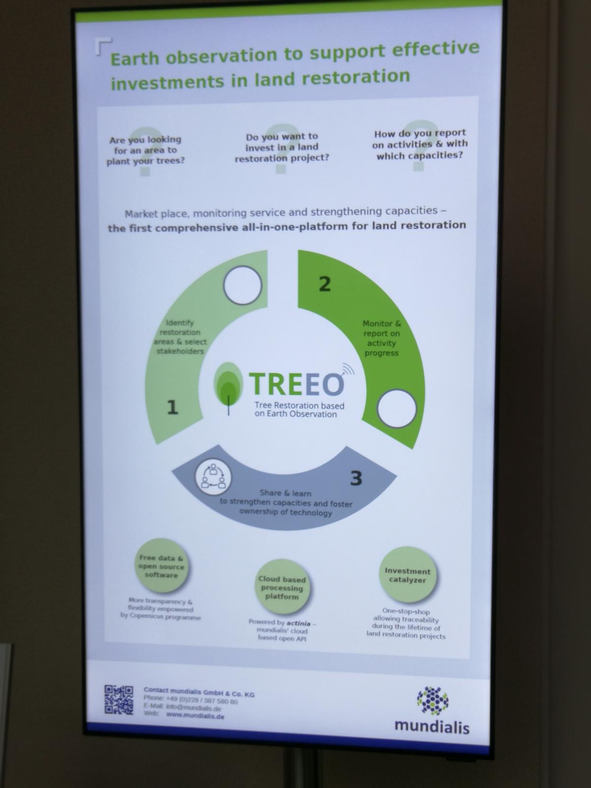
Für uns bot die Veranstaltung eine ausgezeichnete Gelegenheit zum Kennenlernen von neuen sowie dem vertiefen von bestehenden Kontakten mit verschiedenen Akteuren aus dem Bereich der Erdbeobachtung und der Geoinformatik-Branche. Das rasante Wachstum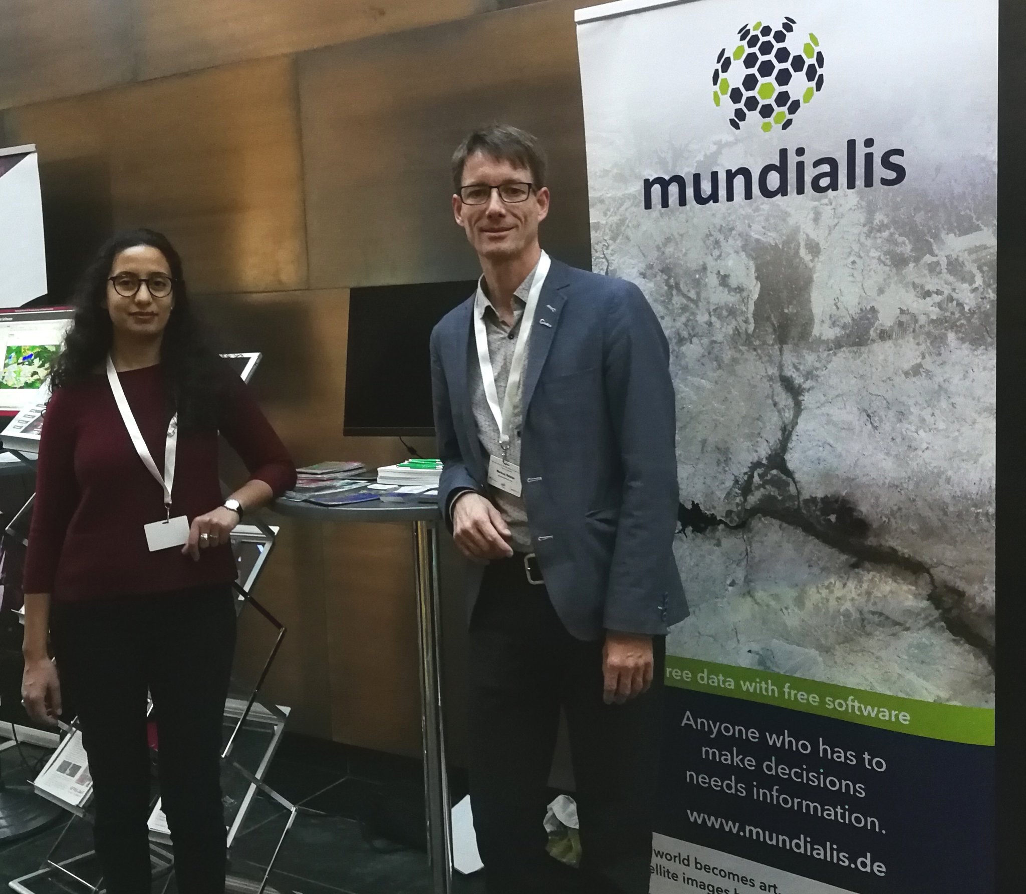 des Erdbeobachtungsmarktes lässt sich aus unserer Sicht zu einem guten Teil auf die offenen Daten und die reichhaltigen Anwendungsmöglichkeiten der Sentinel-Daten und der damit gewonnenen gehobenen Wahrnehmung der Erdbeobachtung in der gesamten Geo-Branche zurückführen.
Das Bewusstsein über die Bedeutung der Integration und Nutzung von Geodaten und daraus abgeleiteten Produkten wächst rasant – hier sehen wir uns mit mundialis in einer optimalen Position, denn wir sehen uns in einer ausgezeichneten Position um entsprechende Dienstleistungen auf Basis von Freier- und Open Source-Software anbieten zu können.
Ihre Ansprechpartner:
Dr. Hajar Benelcadi (Radarfernerkundung und SDG) | Dr. Markus Neteler (optische und thermale Fernerkundung & Cloud)
Extern: Fotos der Veranstaltung