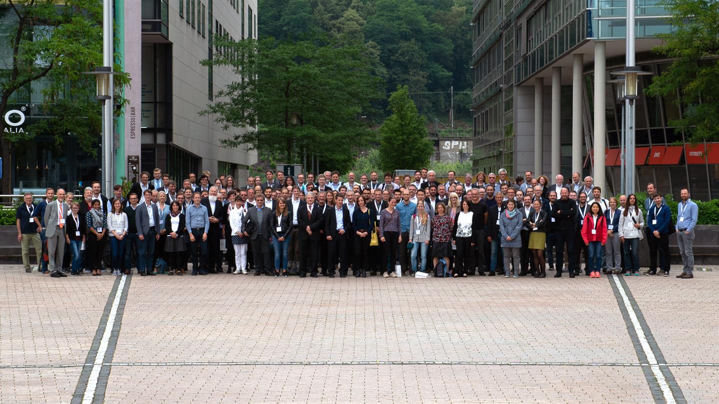
Vom 25. bis 27. Juni 2018 fand in Köln das erste Symposium zu Anwendungsmöglichkeiten der satellitengestützten Erdbeobachtung statt. Veranstalter war das Raumfahrtmanagement im Deutschen Zentrum für Luft- und Raumfahrt (DLR).
Das Symposium dient Entwicklern und Anbietern aus Wirtschaft und Wissenschaft sowie Anwendern der Satellitenerdbeobachtung als Dialogplattform, ermöglicht Vernetzungen und intensiviert den Wissenstransfer. Unter dem Motto “Neue Perspektiven der Erdbeobachtung” wurden Trends und Innovationspotenziale in Nutzung und Anwendung der Satellitenbeobachtung aufgezeigt.
Erdbeobachtung ist als wichtige Informationsquelle zu einer unverzichtbaren Infrastruktur der Gesellschaft geworden. Zum Beispiel kann Erdbeobachtung die Umsetzung der Energiewende unterstützen, Veränderungen in der Pflanzendecke aufdecken und dabei helfen, Prozesse und Erdatmosphäre zu verstehen.

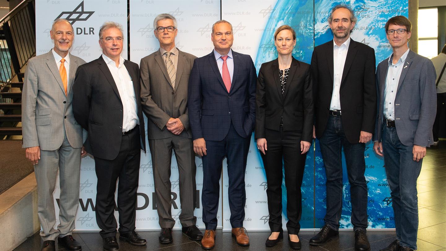
Von mundialis nahmen Geschäftsführer Dr. Markus Neteler und Projektleiterin Dr. Hajar Benelcadi am Symposium vom DLR Raumfahrtmanagement teil. Dr. Markus Neteler stellte sich direkt am ersten Tag den Herausforderungen der Podiumsdiskussion zum Thema “Neue Perspektiven? Herausforderungen, Chancen und Visionen für die Erdbeobachtung im Kontext von Big Data, Plattformanwendungen und KI“.
Dr. Hajar Benelcadi nahm am dritten Tag des Symposiums an der Fachsession “Internationale Initiativen und SDGs” mit dem Vortrag “Earth Observation based location identifier (EO-li) – global web based service platform for land restoration” teil.
Das Symposium war ein voller Erfolg und wir danken dem DLR für die gelungene Veranstaltung, auf der die mundialis GmbH & Co. KG auch im nächsten Jahr wieder gerne aktiv vertreten ist.