Skip to content
Services
Products
Software
References
News
About us
Services
Products
Software
References
News
About us
English
German
English
German
Contact
News
An overview of all news.
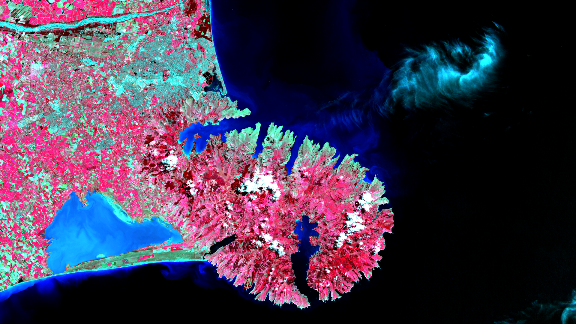
Satellite image of the month – May – Banks Peninsula (New Zealand)
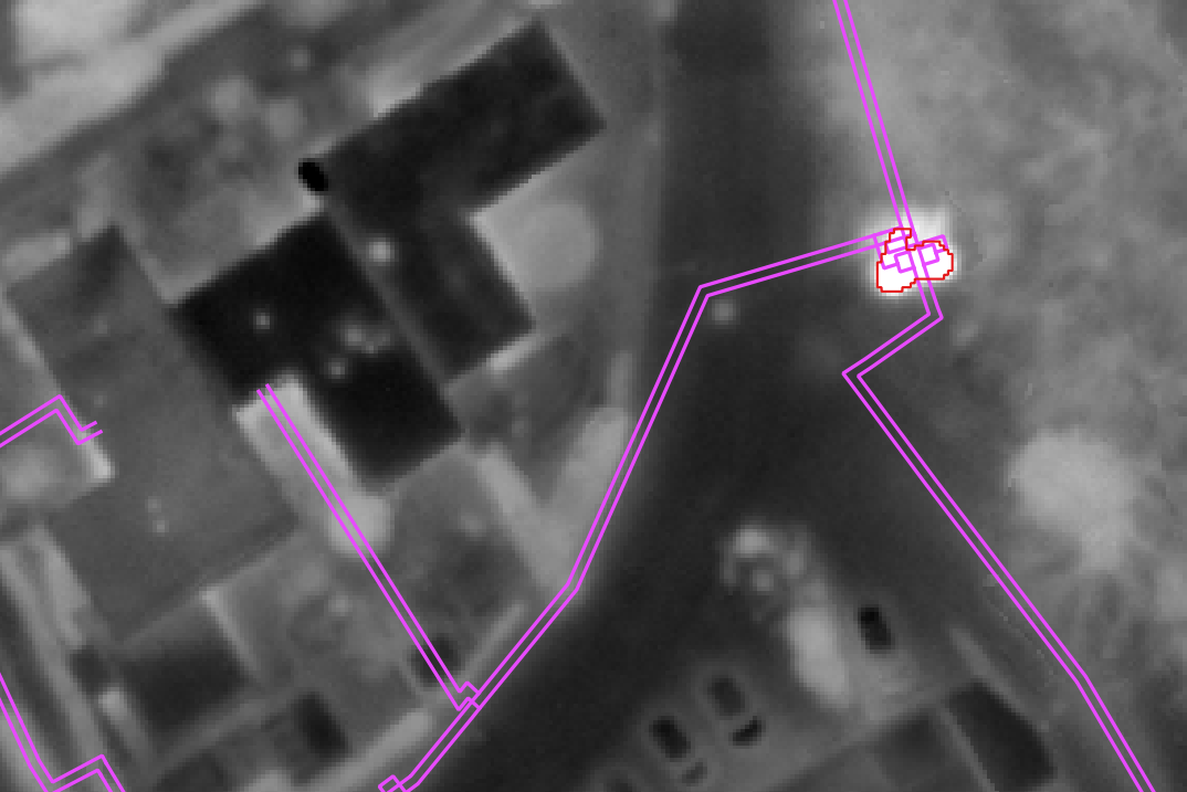
New project completed: Using thermal data to reduce energy loss
Webinar “Offene Geodaten der Bundesländer: Verfügbarkeit und Anwendung in der Einzelbaumerkennung”
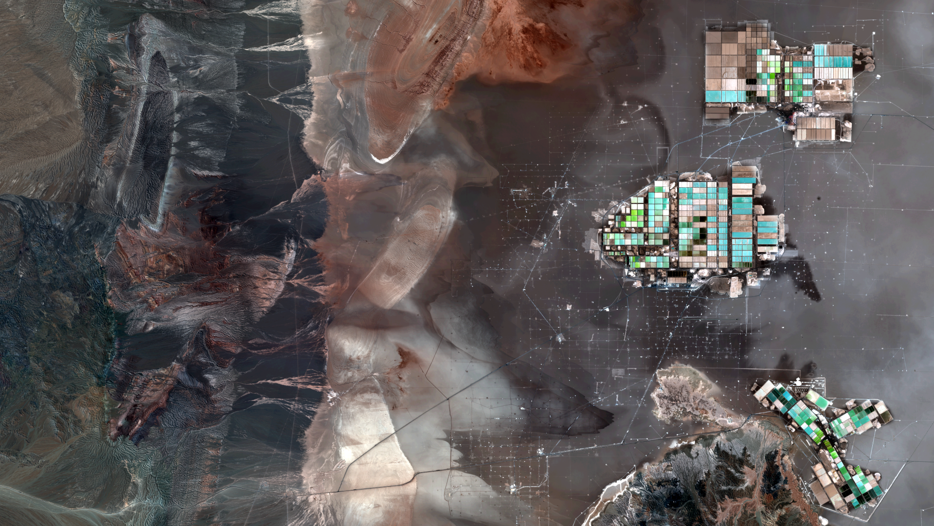
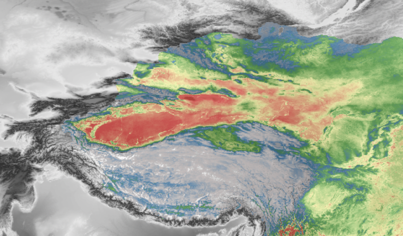
Satellite image of the month – April – Atacama Desert (Chile)
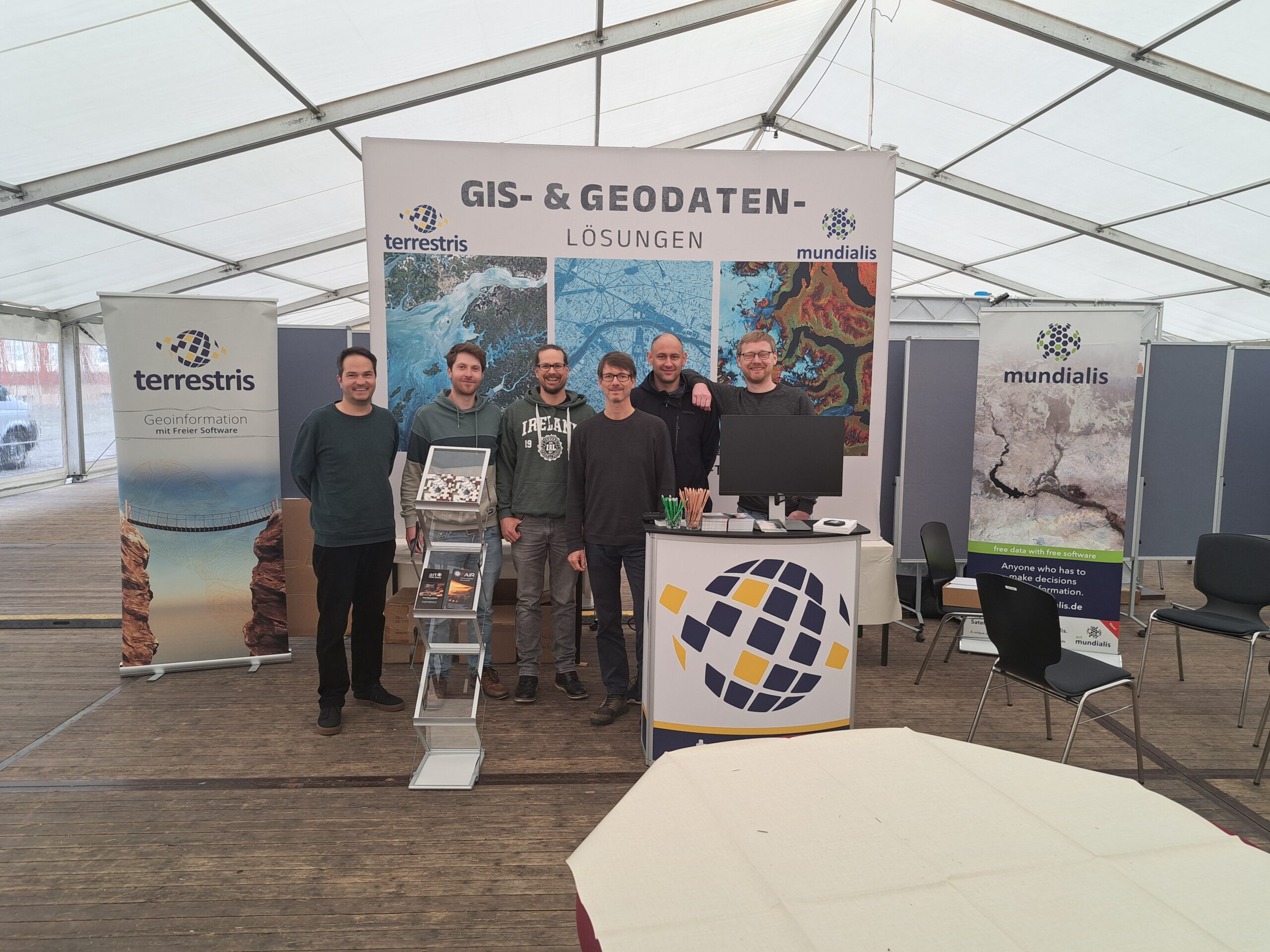
FOSSGIS 2025 – a review of the largest conference to date
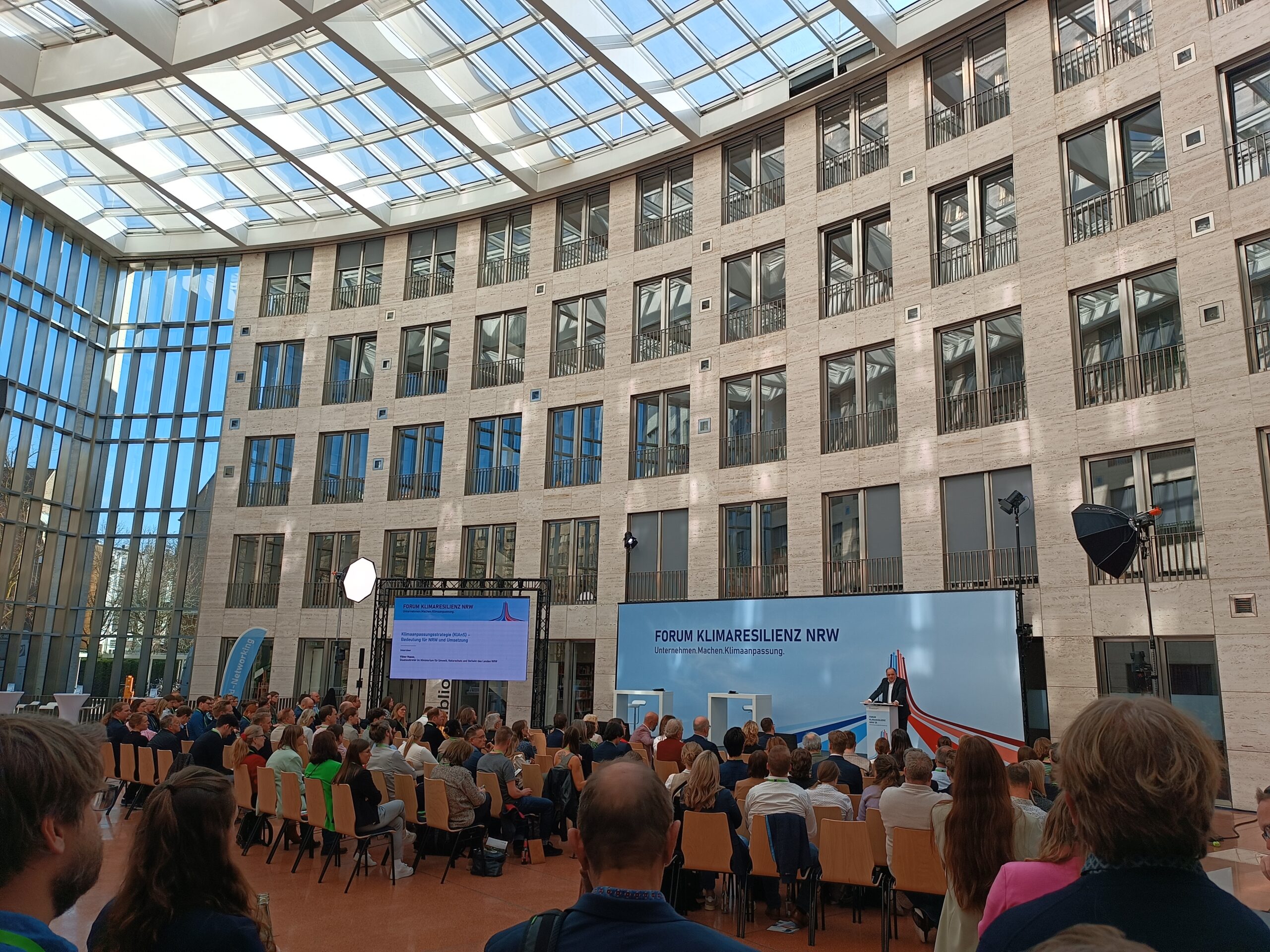
Climate Resilience Forum NRW’25
Das sind unsere Beiträge auf der FOSSGIS 2025!
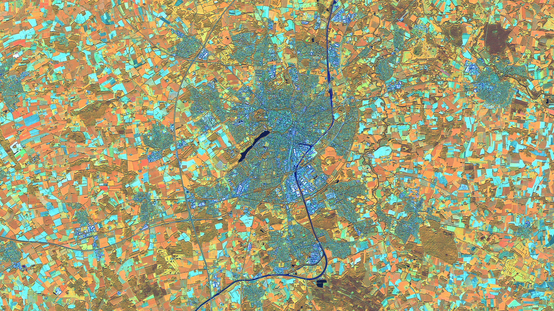
Satellite image of the month – March – Münster (Germany)
New MOOD Association Strengthens Epidemiology
Open Data Day is coming soon!
Show more
Categories
General
Knowledge
Satellite image of the month
All
English
German
English
German
Services
Products
Software
References
News
About us
Services
Products
Software
References
News
About us
Kontakt
Github
Linkedin
Xing
Twitter
Mastodon Logo
Imprint
Imprint
English
German
English
German
Services
Products
Software
References
News
About us
Services
Products
Software
References
News
About us
Contact
Github
Linkedin
Xing
Twitter
Mastodon Logo
Imprint
Imprint