Menu
  • About us
    • Company
    • Team
    • Career
    • References
    • Partners
    • Contact
  • Products
    • Imperviousness assessment
    • Tree detection
    • Earth Observation metadata enhancer
    • Monitoring of land use changes
    • Temperaturdaten
    • LST-Data Client
    • Trainings
  • Services
    • actinia – geoprocessing in the cloud
    • Geospatial and EO data analysis
    • CORONA spy satellite data
    • maps.mundialis
    • Web Map Services
    • GIS Development
    • Open Source GIS
  • Markets
    • Remote Sensing for Agriculture
    • Satellite Images for Forest and Land Cover Restoration
    • Glass fibre route planning – FTTH
    • Copernicus and Sentinel
  • News & Blog
    • News
    • Blog
    • Satellite image of the month
  • English English
  • Deutsch Deutsch

Review FOSSGIS 2021: Videos and presentations


18. June 2021 | Category General

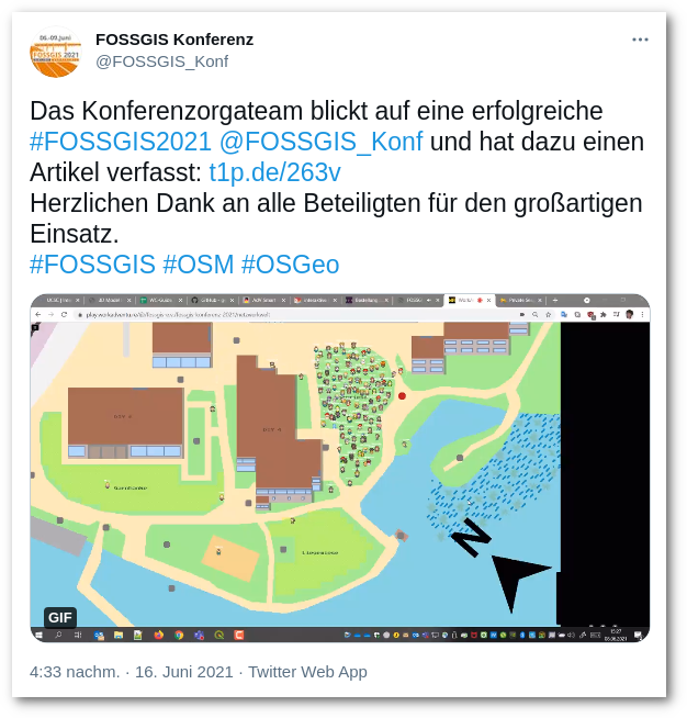
This year’s FOSSGIS conference took place – theoretically in Rapperswil, Switzerland – from 06 to 09 June 2021. Unfortunately, it was not possible to be on site in Switzerland due to the pandemic, so the conference was held online. To say it in advance: This worked out excellently and was a very good experience. More than 600 participants enjoyed three parallel session tracks consisting of lectures, demo sessions and workshop. The company mundialis was actively involved with a demo session and lectures as well as an exhibitor. The usual professional exchange was held in the “network world” this year. In this virtual world, conference participants were able to meet the exhibitors and exchange ideas via video chat at the virtual stand.

The logo of the FOSSGIS conference 2021

The logo of the FOSSGIS conference 2021

A lot of praise goes to the organisers and technical implementers of this year’s conference!

To make the wait less long, you can find all the presentations given at the FOSSGIS Conference 2021 as a video recording here. (A big “thank you” to CCC)

From mundialis you can watch the following presentations and demo session (unfortunately only in German!):

  • “Geoprocessing and Change Detection: How can the GIS world benefit from remote sensing data?” – Till Adams & Guido Riembauer (27min)
  • “GDAL – Concept an tools” – Markus Metz (29min)
  • “An outlook on the upcoming GRASS GIS 8” – Markus Neteler & Markus Metz (61min)
A screenshot of a tweet regarding FOSSGIS 2021

…we join in the thanks to all those involved 👏👏👏

Next year, we look forward to welcoming you hopefully in March on site in Marburg at FOSSGIS 2022.

Comments are currently closed.

Follow Us

Contact

mundialis GmbH & Co. KG
Kölnstrasse 99
53111 Bonn

Phone: +49 (0)228 / 387 580 80
Fax: +49 (0)228 / 962 899 57

E-Mail: info [at] mundialis [dot] de

Latest News

  • MOOD Scientific Conference and General Assembly

    Tuesday July 25th, 2023
  • 🌲 🌳 🌴 Automated single tree detection from aerial photos 🌲 🌳 🌴

    Thursday July 20th, 2023
  • GRASS GIS celebrates 40 years!

    Thursday June 22nd, 2023
  • mundialis offers job bikes to employees

    Tuesday June 13th, 2023
  • Conclusion of the FAIR Project

    Wednesday April 19th, 2023
View all News

Blog

  • Satellite image of the month – September – Noord-Holland (Netherlands) 5. September 2023
    Noord-Holland – Netherlands – recorded by the Sentinel-2A satellite on ...
  • Satellite image of the month – August – Salar de Uyuni (Bolivia) 8. August 2023
    Salar de Uyuni – Bolivia, recorded by the Sentinel-2B satellite ...
  • Satellite image of the month – July – Helsinki (Finland) 4. July 2023
    Helsinki – Finland, recorded by the Sentinel-2A satellite on June ...
View all Blog Posts

Copyright © 2015-2023 mundialis GmbH & Co. KG

Imprint Privacy

Theme created by PWT. Powered by WordPress.org