
Yoshino-yama – Japan, recorded by the Sentinel-2B satellite on 10 April, 2022
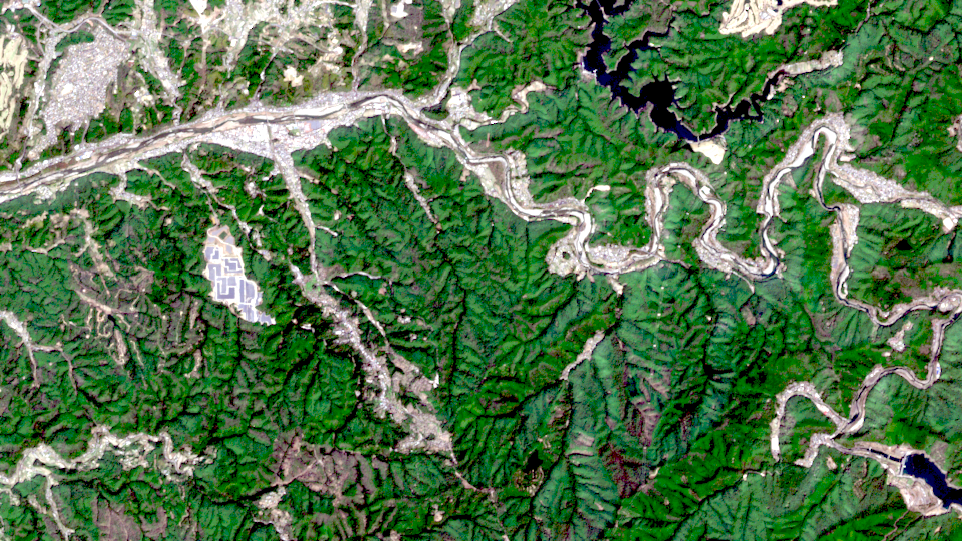
The satellite image of the month April shows the Yoshino-yama mountain region in Japan in the south of Nara Prefecture, south-east of the city of Osaka.
The image is based on Sentinel-2 data from the EU’s Copernicus program. Sentinel-2 data are freely available multispectral satellite images. After downloading, the scene was atmospherically corrected using free software, and subsequently, a color composition was calculated using three different bands.
Structure of the image
This „natural colour“ band combination is as close to „true colour“ as you can get with a Sentinel-2 image. By suing the three visible bands that humans see as red, green and blue, the image appears in colours similar to how they appear to the human eye. Vegetation is green, recently cleared fields are very light, soil is yellow and brown, water is blue to black and roads and buildings are grey or brownish. Clouds would appear white. The spatial resolution of the colour composite is 10 meters.
The Yoshino River, which flows from east to west in this section, runs through the upper part of the image. On the left, where the river has a relatively straight course, the town of Yoshino stretches along the river. The mountainous region of Yoshino-yama extends about 8 kilometers southwards from the Yoshino River. At its center is a small settlement with temples and shrines, which can be seen in the center-left of the image with brownish/grey colour against the green mountain ranges. The village is connected to Yoshino via roads and smaller settlements. To the north-west of it is a solar park, easily recognisable in the picture by its large rectangular shapes (dark) on a light background. At the bottom right of the image, part of a reservoir can be seen. It is formed by the Otaki Dam, which is also shown in the image.
About the cherry blossom
The region is best known for its cherry blossoms and is one of the most popular cherry blossom viewing spots in Japan. Mount Yoshino, a north-facing mountainside, is home to around 30,000 pink and rose-flowering cherry trees of various species. When the trees blossom in spring, Yoshino-yama is transformed into a sea of colour. In the picture taken on 10 April 2022, the trees are in bloom. They are located to the right of the narrow settlement about halfway up and to the south of it.
The trees typically flower between the end of March and the beginning of April and are in full bloom by early to mid April. The flowering period varies with altitude, with trees in different groves flowering a few days apart. Visitors can enjoy the cherry trees at picnic areas and viewpoints on a walk up the mountain. Yoshino-yama became a UNESCO World Heritage Site in 2004.
As the timing of the cherry blossom is influenced by spring temperatures, the blossom time has shifted earlier and earlier since the beginning of the 20th century. This graph impressively shows the development of the peak of the cherry tree blossom in Kyoto, about 70 kilometers north of Yoshino, north-east of Osaka.
In spring, cherry blossoms can also be seen in the old town of Bonn, the home of mundialis. Here, the blossoming trees form pink ribbon through the streets and an annual cherry blossom festival is held.
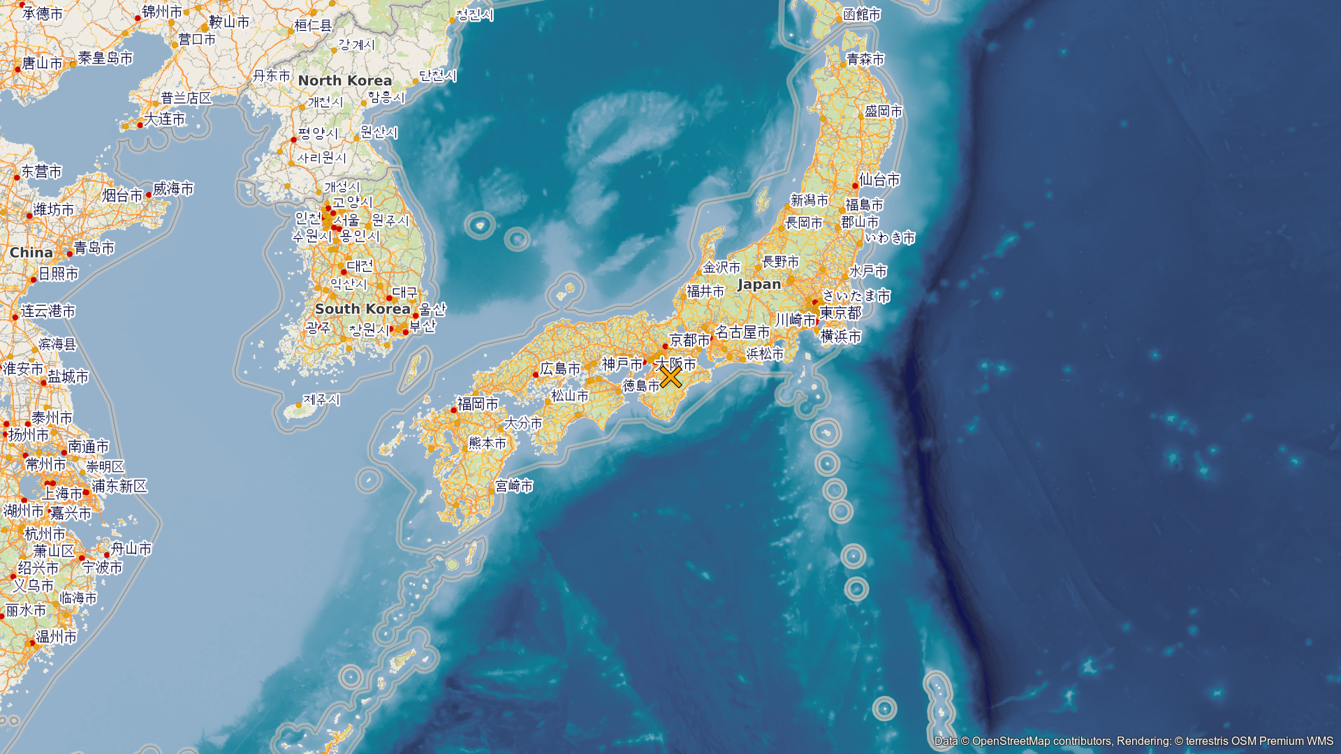
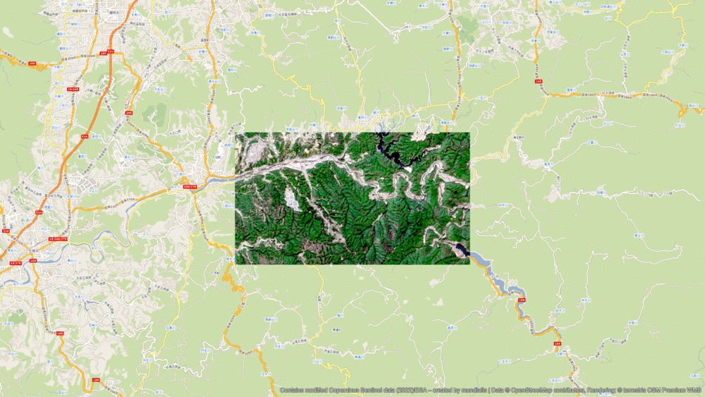
A different view of the region
The following illustrations help to place the satellite image geographically. The orange cross marks the position of the satellite image. The animation embeds the image in its surroundings and shows it in varying degrees of detail. Both maps have been produced using the OpenStreetMap Premium service from our sister company terrestris.
Contains modified Copernicus Sentinel data (2022)/ESA – created by mundialis