
Sossusvlei – Namibia, recorded by the Sentinel-2A satellite on March 31, 2024
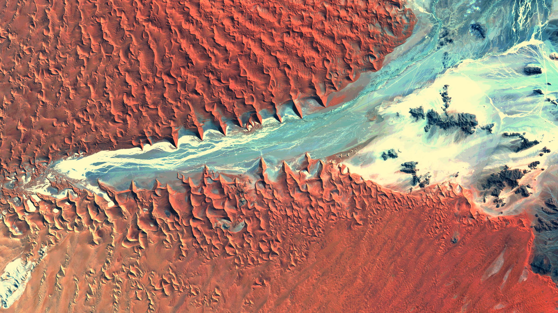
Our satellite image of the month June shows Sossusvlei, a salt-clay pan surrounded by sand dunes in the Namib Desert in Namibia.
Structure of the image
The image is based on Sentinel-2 data from the EU’s Copernicus programme. Sentinel-2 data consists of freely available multispectral satellite images. After the download, the scene was atmospherically corrected using free software, and subsequently, a colour composite was calculated using three different bands.
This „natural colour“ band combination is as close to „true colour“ as you can get with a Sentinel-2 image. The three visible bands which we see as red, green and blue are used, so that the image appears in colours which are similar to their appearance to the human eye. For example, vegetation is shown in green, soil is yellow and brown and water is blue to deep black. Clouds and snow appear white and are difficult to distinguish. Sometimes this band combination appears hazy because these wavelengths cannot penetrate the atmosphere very well. The three bands provide a spatial resolution of 10 meters.
About Sossusvlei and the Namib Desert
Sossusvlei is located within the Namib-Naukluft National Park, one of the largest nature reserves in Africa. This salt pan is mostly dry and only carries water in rainy years, temporarily forming a shallow lake. This lake lies at the end of the Tsauchab River. ‘Sossus’ means ‘blind river’ in the Nama language and describes how the Tsauchab River seeps into the sand dunes of the Namib Desert after heavy rainfall and ends about 50 kilometres away from the Atlantic coast.
The Namib Desert is approximately 80 million years old and is one of the oldest deserts in the world. It’s highest dunes are located near Sossusvlei. They consist of red sand and are over 300 metres high. These dunes change colour depending on the time of day: in the morning and evening they glow orange and red, while during the day they appear in golden tones. The orange colour of the sand is caused by iron oxide. Near Sossusvlei lies Deadvlei, a dried-up clay pan characterised by dead camel thorn trees. These trees have not rotted for about 600 years due to the extreme drought and are a fascinating sight.
In the selected image section, Sossusvlei and Deadvlei at the western end of the Tsauchab River can be seen in middle of the left-hand edge of the picture. Their white colours stand out clearly against the red sand dunes. This area is also home to the highest dunes. The river area also contrasts in colour with the dunes and clearly shows how the river has cut into the dune landscape over the course of time from the Naukluft Mountains to the east.
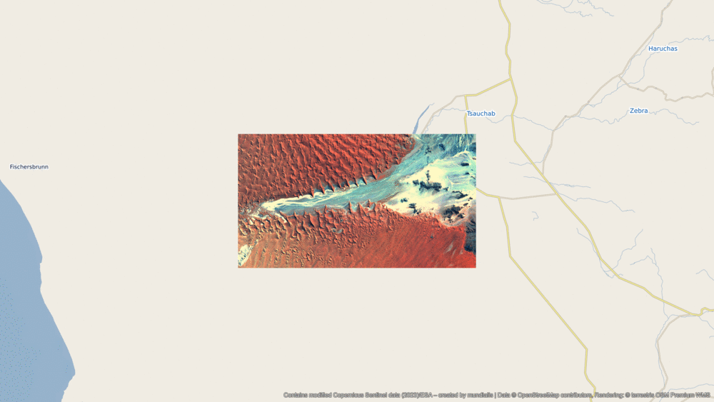
A different view of the region
The following illustration helps to place the location of the image geographically. The animation shows the satellite image of the month and its surroundings at different scales. The map was produced using the OpenStreetMap Premium service from our sister company terrestris.
Desertification and Drought Day
This year, the United Nations World Day to Combat Desertification and Drought takes place in June. The aim of the day is to raise public awareness of problem, promote solutions to combat desertification and drought, and strengthen the implementation of the UN Convention to Combat Desertification (UNCCD) in countries affected by severe drought and/or desertification, particularly in Africa.
This year, the German Government, in cooperation with the Federal Ministry for Economic Cooperation and Development (BMZ) and the City of Bonn, is organising a series of high-profile events on 17 June 2024. This day marks the 30th anniversary of the United Nations Convention to Combat Desertification (UNCCD).
Contains modified Copernicus Sentinel data (2024)/ESA – created by mundialis
Satellite images for hanging on walls are available at https://art-from-space.de/