
Westen von Xinjiang in China, aufgenommen vom Sentinel-2A Satelliten am 30. November 2015
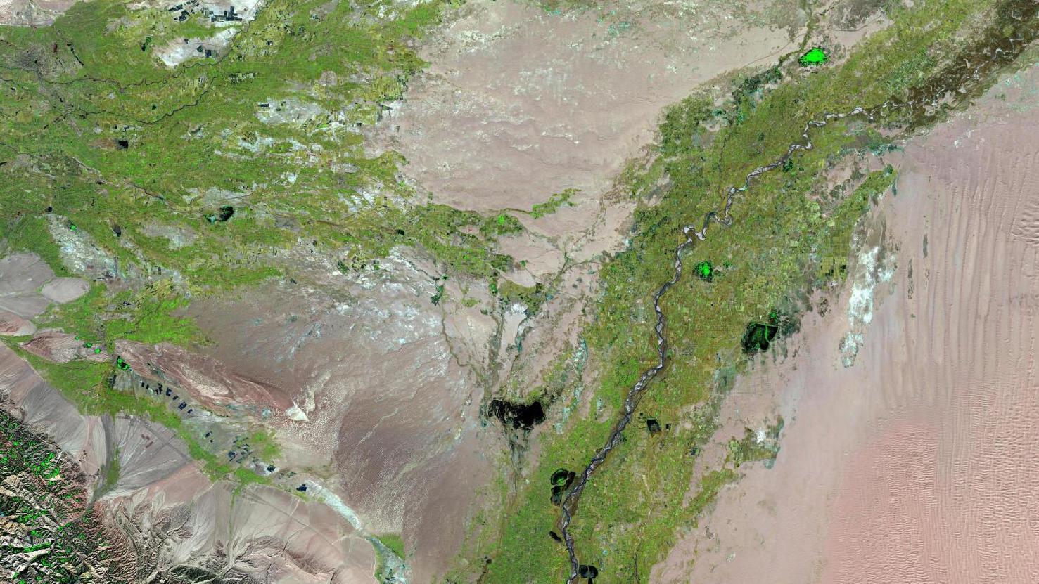
Dieses Bild zeigt eine Falschfarben Komposition vom Westen des uigurischen und autonomen Gebietes Xinjiang in China. Das Bild wurde aus verschiedenen Bändern, basierend auf Sentinel-2A Daten des EU Copernicus Programms, erstellt. Die verwendete Bandkombination ist nützlich um Vegetationsanalysen durchzuführen und bietet eine Auflösung von 20 Metern. Gesunde Vegetation erscheint in grellen Grüntönen und kann sehr einfach vom Boden unterschieden werden, welcher in einem Spektrum von Rosa (z.B. abgeerntete Felder) bis leuchtendem Pink (z.B. gerodeter Regenwald) eingefärbt ist. Wasser ist in dunklen Blau- bis Schwarztönen gemalt, während Städte Hellgrau bis Hellrosa eingefärbt sind.
Ganz im Nordwesten des Bildes sieht man die Oasenstadt Kashgar (auch Kaschgar oder Kaxgar), hinter der sich die Seidenstraße gabelte, um das angrenzende Tarimbecken auf nördlicher oder südlicher Route zu umgehen. Sie war außerdem Hauptstadt der einjährigen Islamischen Republik Ostturkestan (1933–1934). Im Südosten des Bildes erkennt man einen Teil des Tarimbeckens mit Ausläufern der Wüste Taklamakan, im Südwesten erscheinen Ausläufer des Pamir-Gebirges.