
Recap of the Open Day Photogrammetry 2025
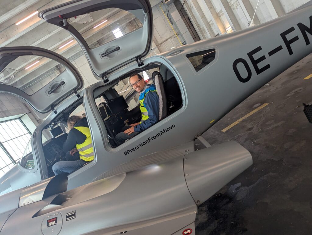
Last week, we had the opportunity to gain fascinating insights into the technology of aerial imaging at this year’s Open Day Photogrammetry at Dortmund Airport – including a close-up look at the specially equipped aircraft regularly used for aerial surveys. As a company that uses aerial imagery as a data foundation, we hosted a workshop […]
Parking Lots as a Resource for Sustainable Urban Transformation – Initial Findings
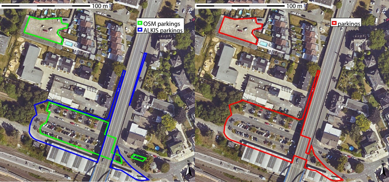
The Federal Office for Building and Regional Planning (BBSR) has published initial results on the transformation of large-scale parking lots – with model cities Dortmund, Görlitz and Ulm. Together with GGR, we have created a data and methodological basis for systematically recording and evaluating parking spaces – with the help of remote sensing, geodata and […]
Einzelbaumerkennung mit offenen Daten der Bundesländer – Webinar-Aufzeichnung
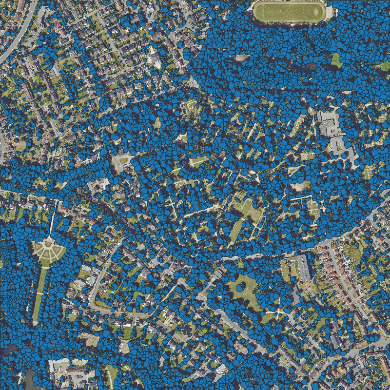
Wie lassen sich offene Geodaten für Umwelt- und Stadtplanung nutzen? Wir zeigen, wie Einzelbäume flächendeckend erfasst werden können – mit Open Source Ansatz und einer Live-Demo. Hier gehts zum Video.