
Better Assessment of Heavy Rainfall Risks: First Training on the GRASS GIS Tool r.sim.water
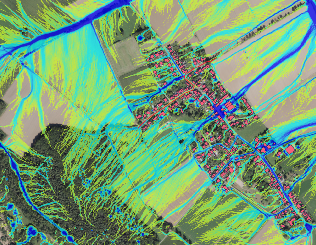
We are pleased to report on the first training session for the GRASS GIS tool r.sim.water that we conducted for the city’s drainage department in Düren. The goal was to improve the assessment, visualization, and simulation of flooding potential during heavy rainfall events. r.sim.water is a powerful tool for simulating water runoff, providing detailed insights into how water […]
VALE Project included in the ESA’s SDG Catalog
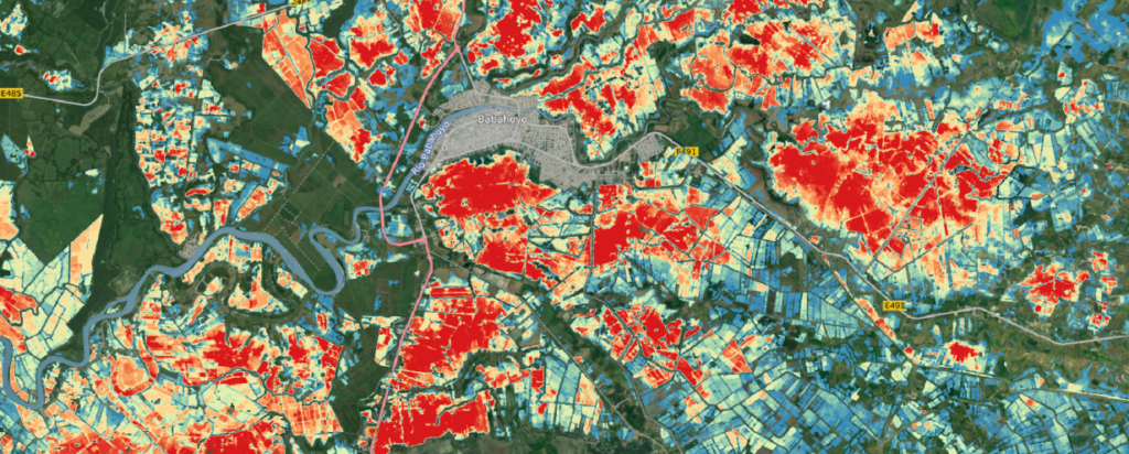
Unser Projekt VALE (Entwicklung und VALidierung von erdbeobachtungsbasierten Indikatoren für das Monitoring des Sendai Rahmenwerks am Beispiel von Hochwasser in Ecuador), das sich auf die Hochwasseranalyse mit Sentinel-1-Satellitendaten konzentriert, wurde offiziell in den SDG-Katalog der ESA aufgenommen! ? Dies ist eine bedeutende Anerkennung für unsere Arbeit zur Erreichung der UN-Nachhaltigkeitsziele (SDGs). Im Projekt VALE haben wir eine Methode […]