![]()
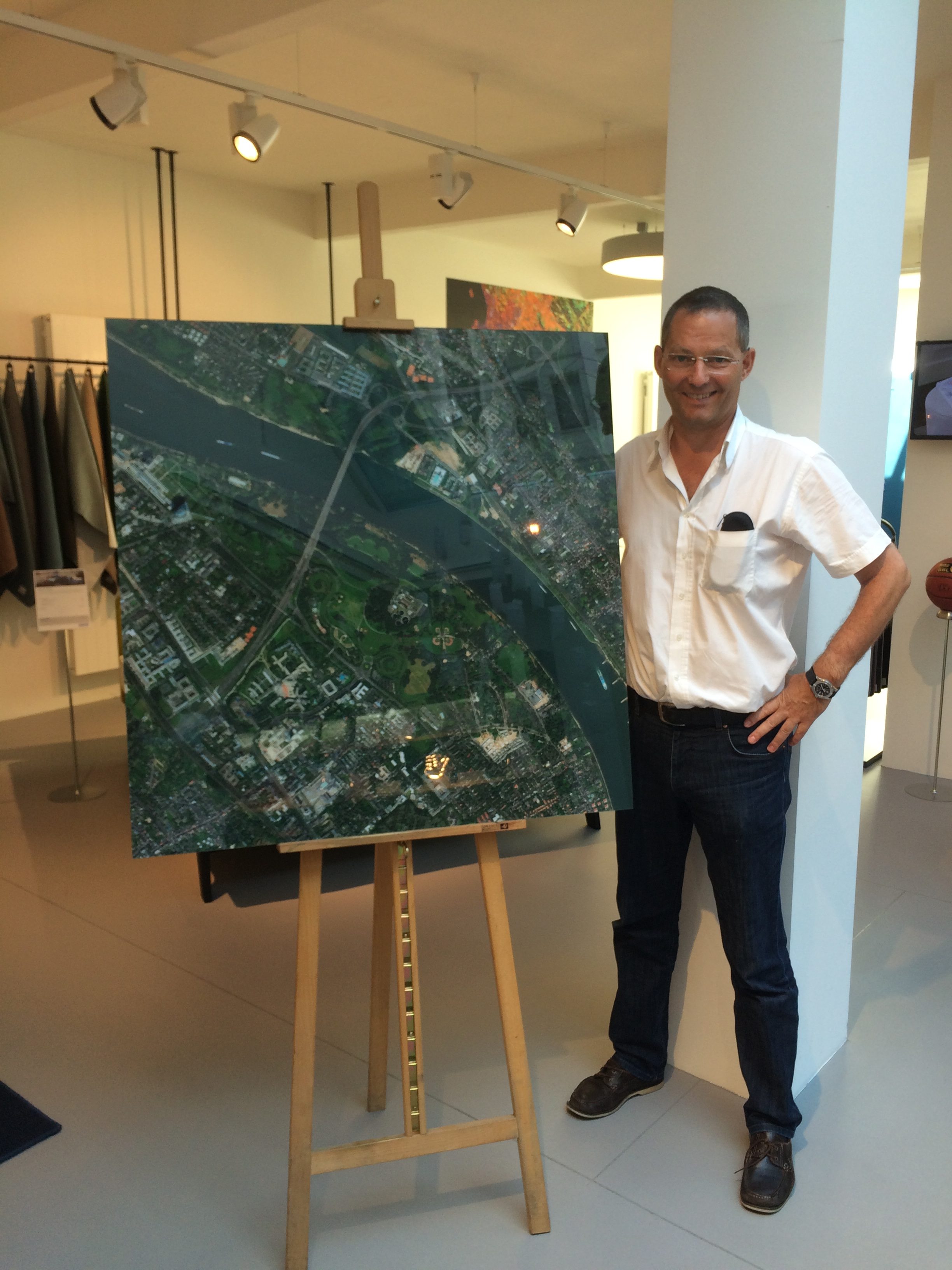
Am Donnerstag, den 15. September 2016 fand am Abend ein Vortrag von Hinrich Paulsen, Geschäftsführer von mundialis, im Bonner Bettenfachgeschäft Auping Plaza statt. Viele werden sich jetzt sicher fragen, was denn Fernerkundung mit einem Bettenfachgeschäft zu tun hat?!
Angefangen hat alles mit den 19. Bonner Wirtschaftsgesprächen, die am 28. Juni 2016 auf dem Vorplatz der Bonner Oper mit rund 1.200 Gästen aus Wirtschaft, Wissenschaft, Politik, Verwaltung und Gesellschaft stattgefunden haben. Bei diesem Anlass hatte Geschäftsführer Hinrich Paulsen ein Bild von mundialis dabei und kam darüber ins Gespräch mit Markus Labinski, Geschäftsführer Auping Plaza.
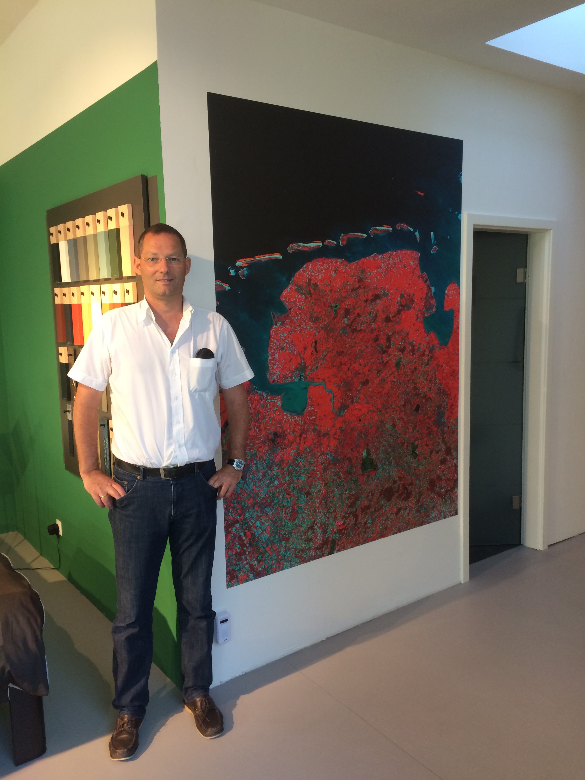
Natürlich haben das Thema Fernerkundung und Bett nichts miteinander zu tun. Im Auping Plaza gab es in der Vergangenheit schon verschiedene Lesungen und so war Geschäftsführer Markus Labinski auch offen für das artfremde Thema des Vortrags “Was hat Fernerkundung mit Kunst zu tun?”. Sowohl mundialis als auch Auping Plaza bemühen sich hiermit die ausgetretenen Pfade zu verlassen und neue Wege für sich zu ergründen.
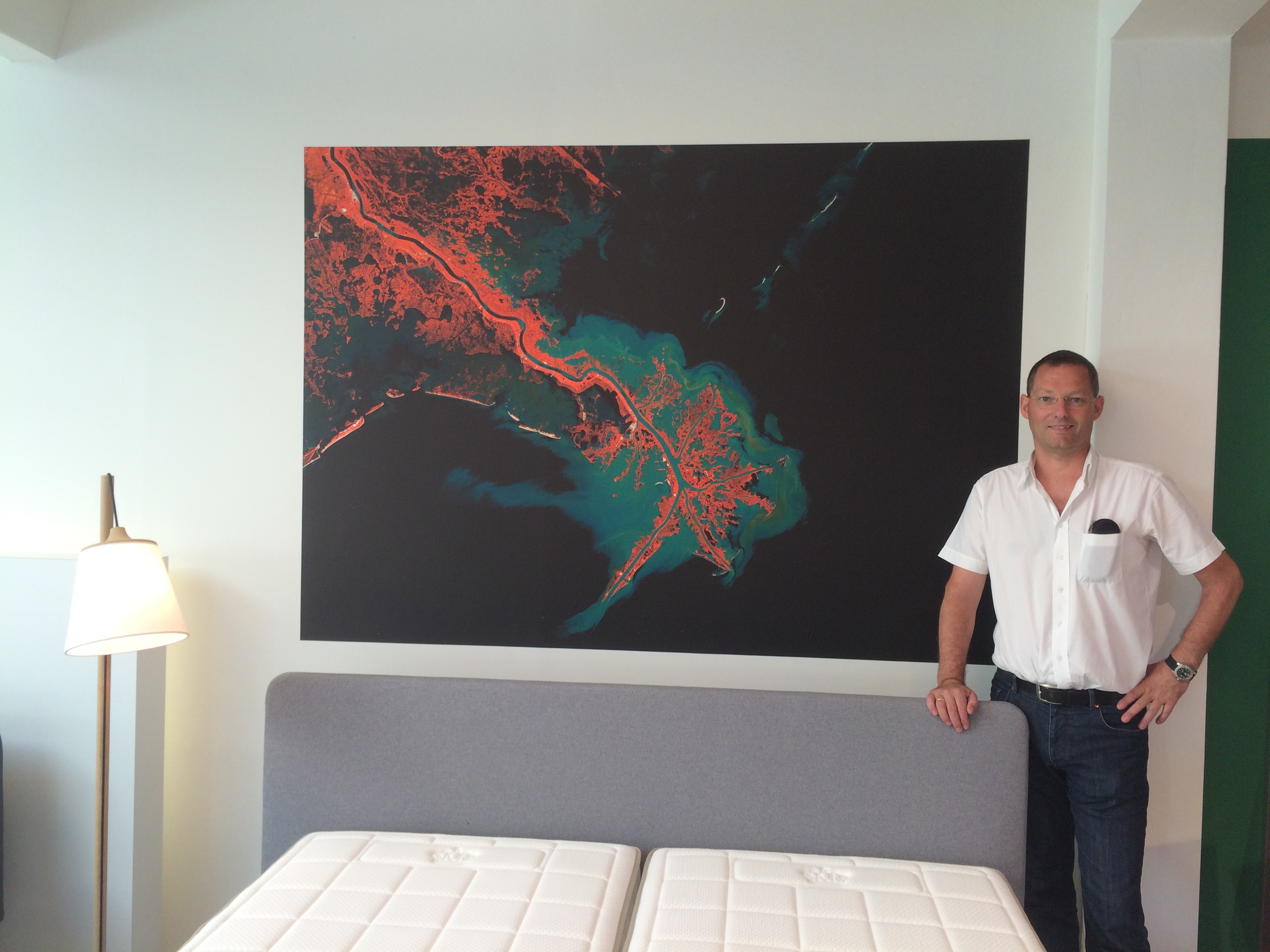
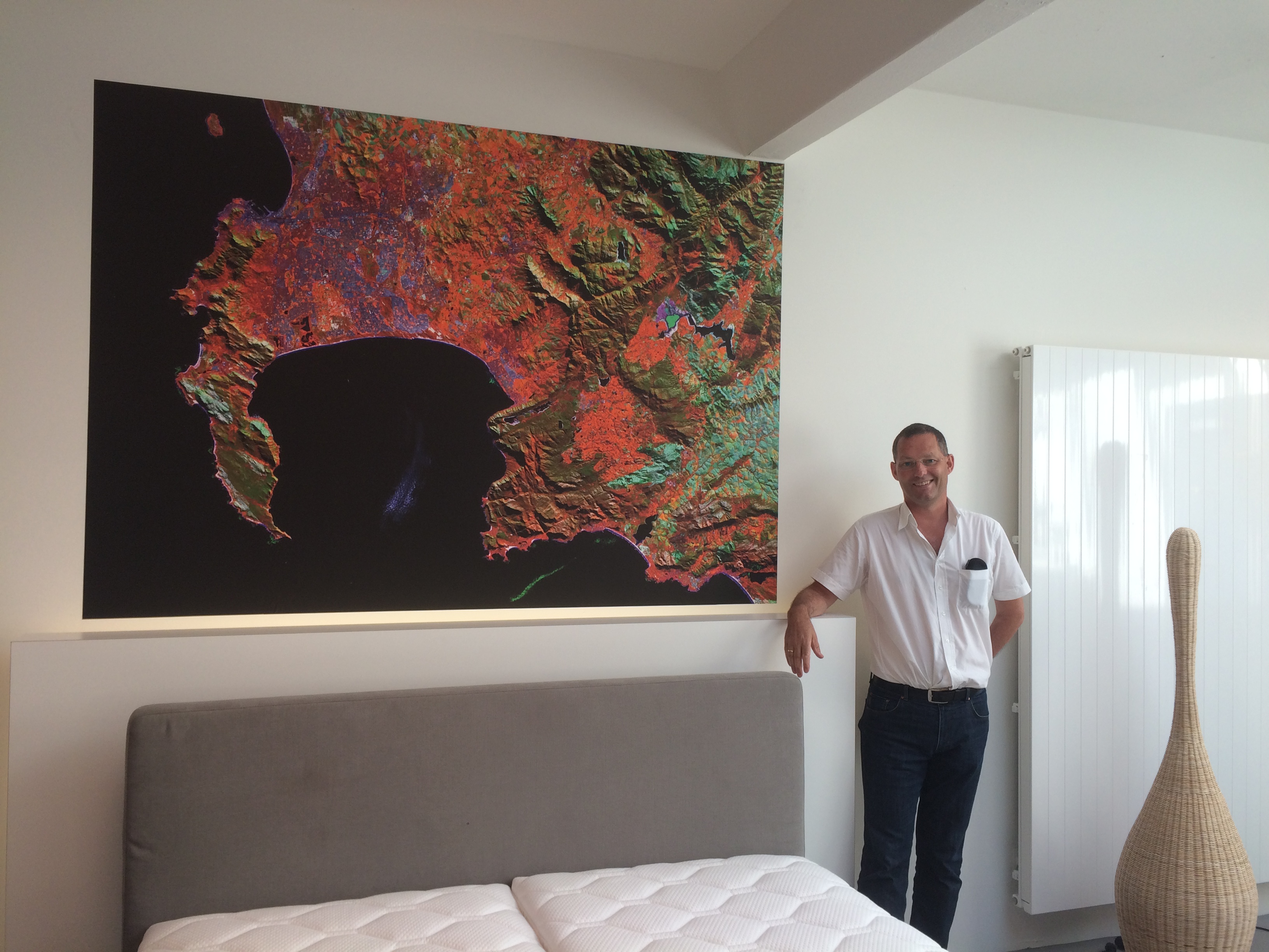
Beide Firmen sind sehr zufrieden mit dem Ergebnis und werden sich auch in Zukunft sicherlich noch öfters austauschen. Impressionen zu dem Vortrag finden Sie hier: