Our open source development provides customized, user-friendly and future-proof answers to socially and environmentally sustainable geographic issues, guaranteeing technical independence and flexibility, because we are convinced of the higher quality of open source and a free distribution of knowledge.
History
Motivated by the launch of the Copernicus program of the European Commission in 2014, and the desire to make information from satellite data available to customers, the company mundialis was founded in 2015. Based on the founders’ many years of experience in the geoinformation industry, open source development and science, mundialis was able to quickly build a team of experts, establish itself in the international market and grow continuously.
Team
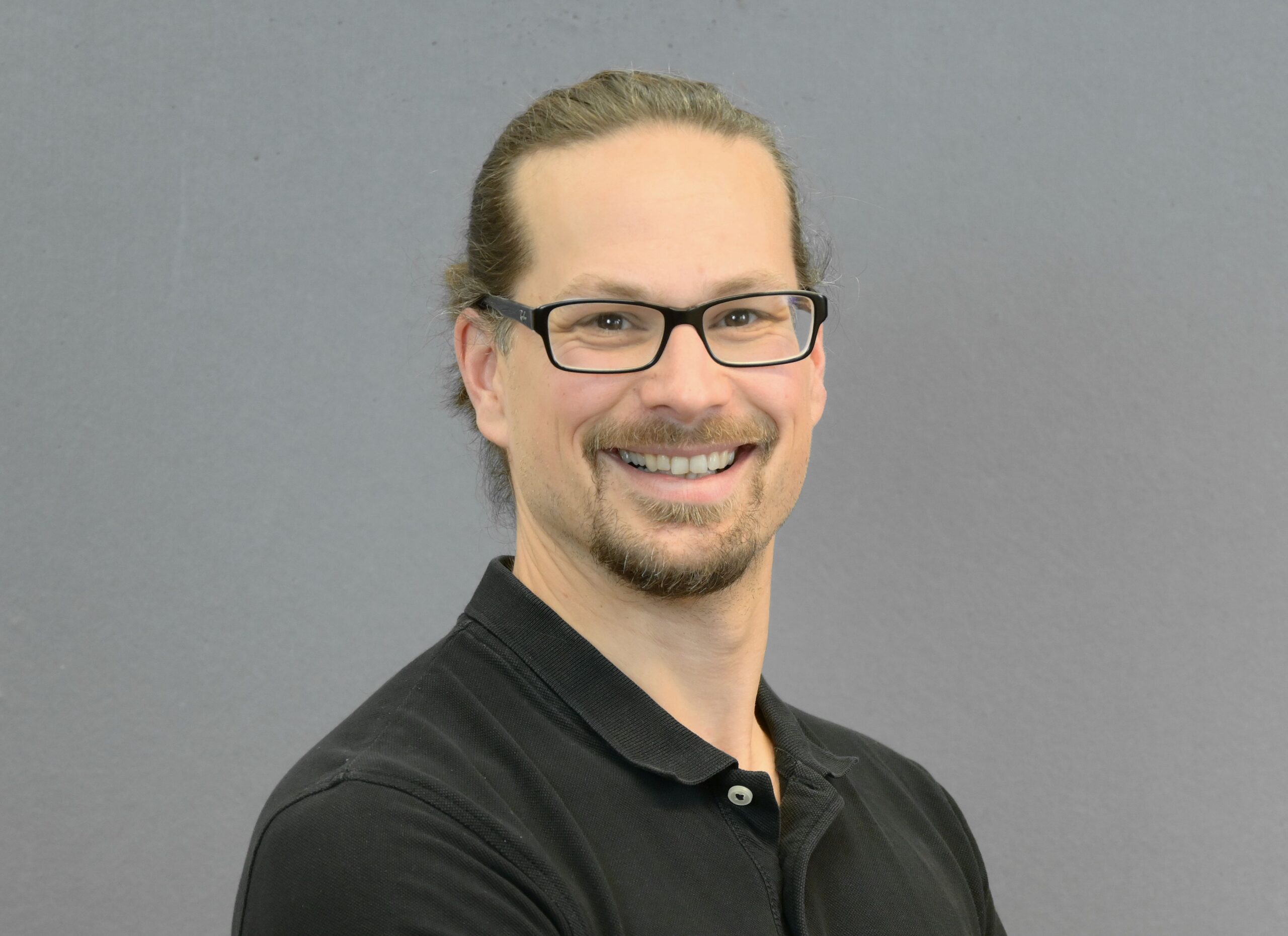
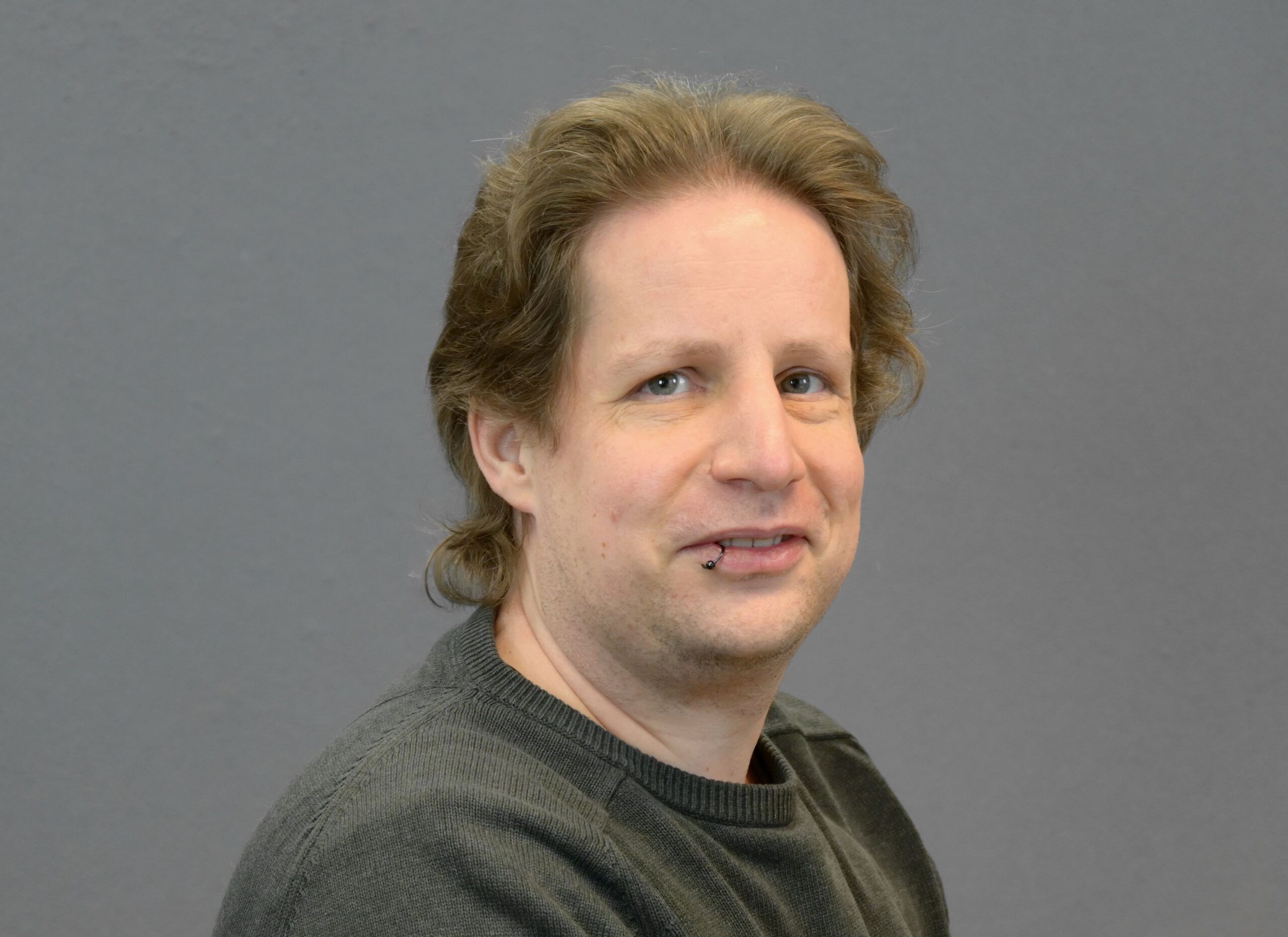
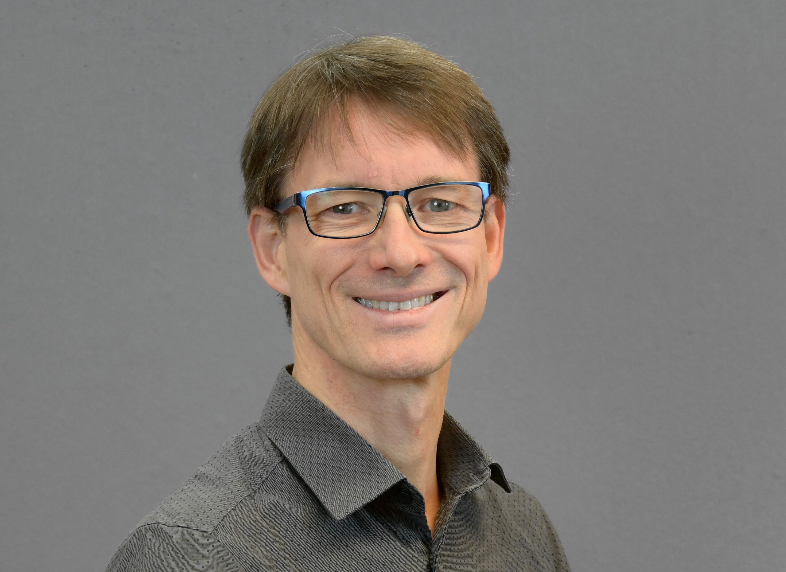
Markus Eichhorn
Managing Director
Markus studied geoinformatics. Through GIS development, he discovered his passion for geospatial data and developed into an expert in geomarketing, remote sensing and the strategic use of geospatial data. He is also a Level C IPMA certified project manager.
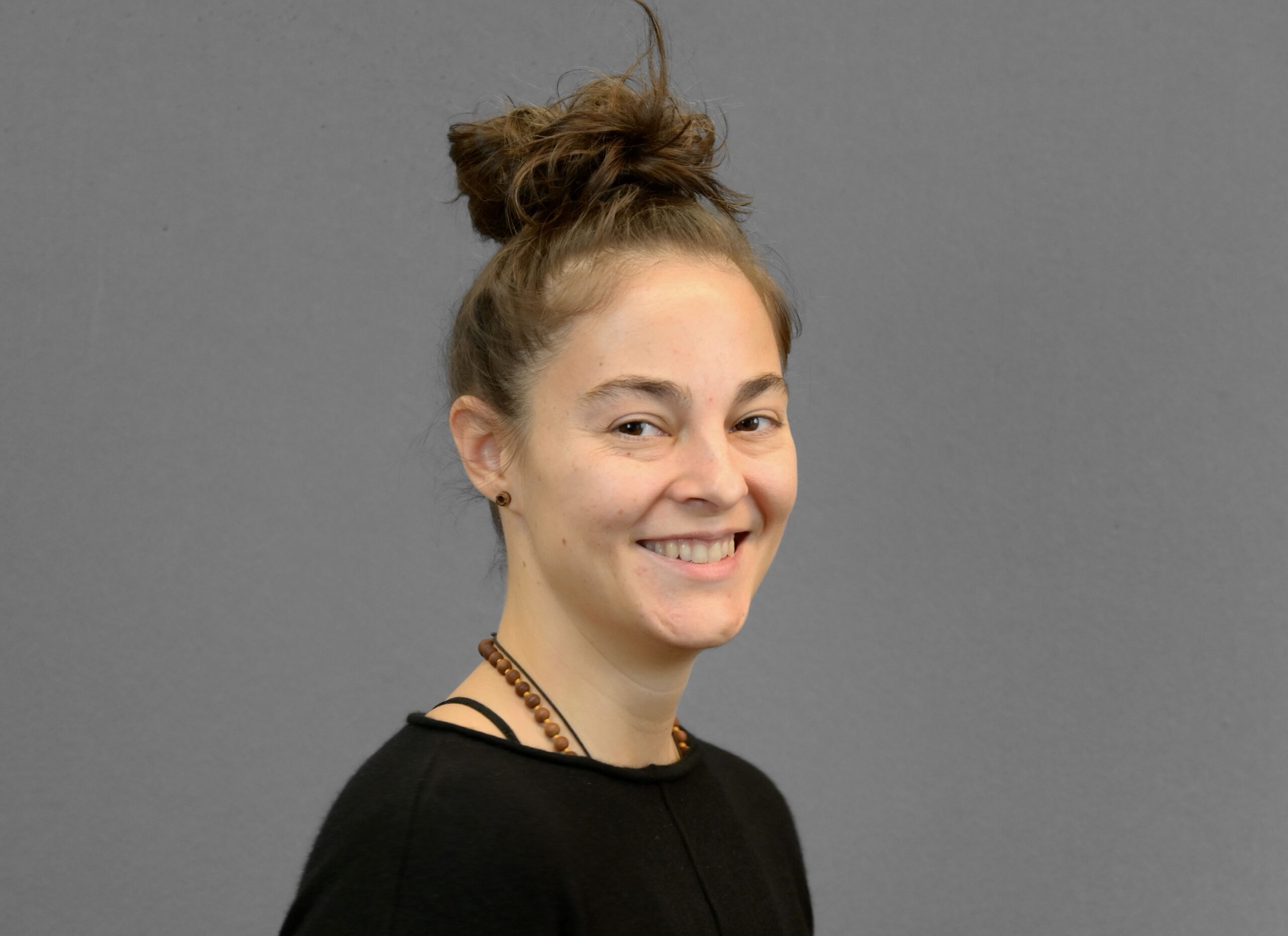
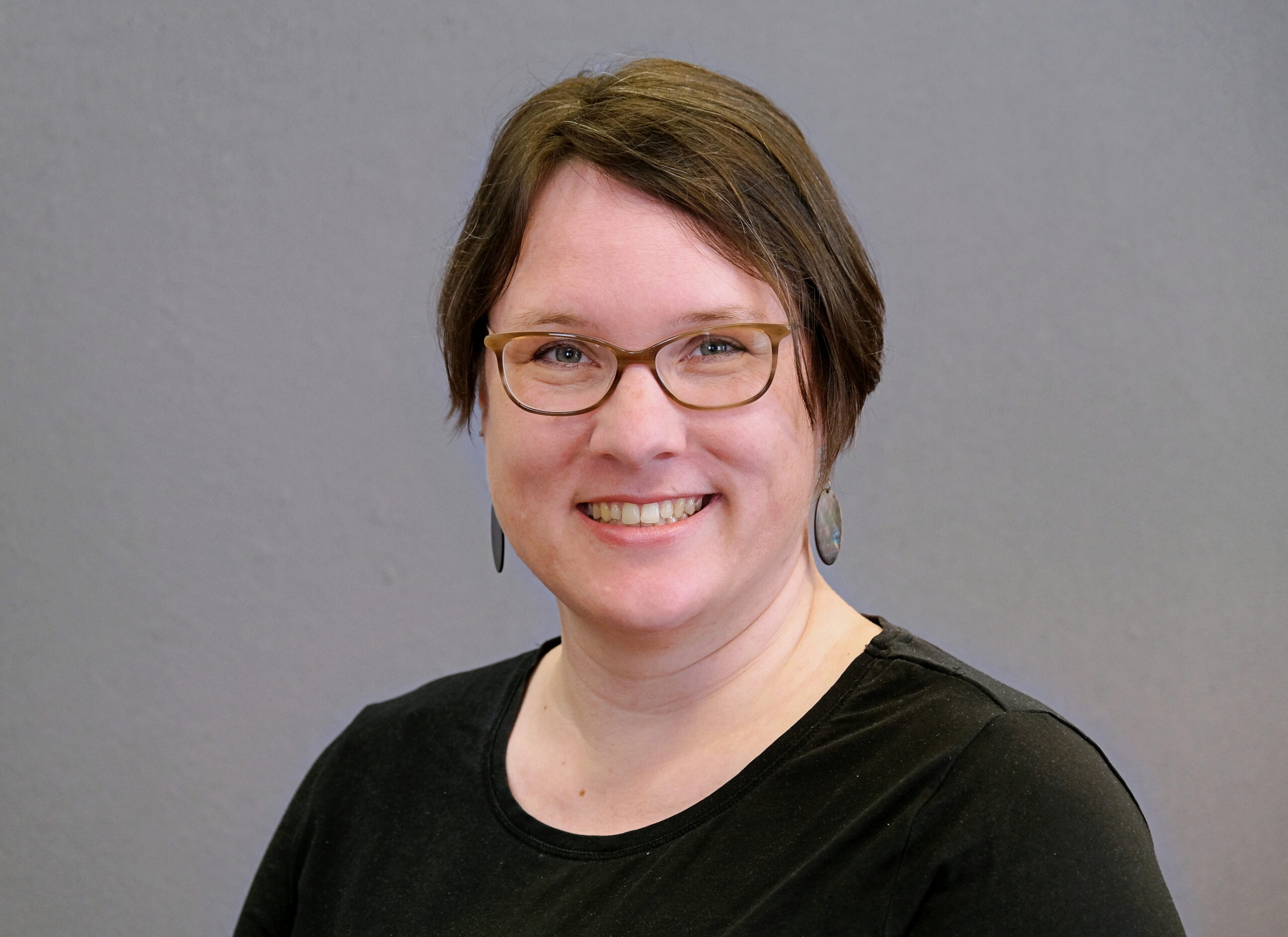
Carmen Tawalika
Application Developer
Carmen studied geography and has been with mundialis since its inception. She is a supporter of open source and the main developer of actinia. She also takes over the Technical Lead at mundialis.
Dr. Markus Metz
Remote Sensing Specialist
Markus Metz received his PhD in biology from the University of Oldenburg and came to GIS and remote sensing via biogeography and is a long-time developer of the core components of GRASS GIS. At mundialis, he is the specialist for all topics related to remote sensing.
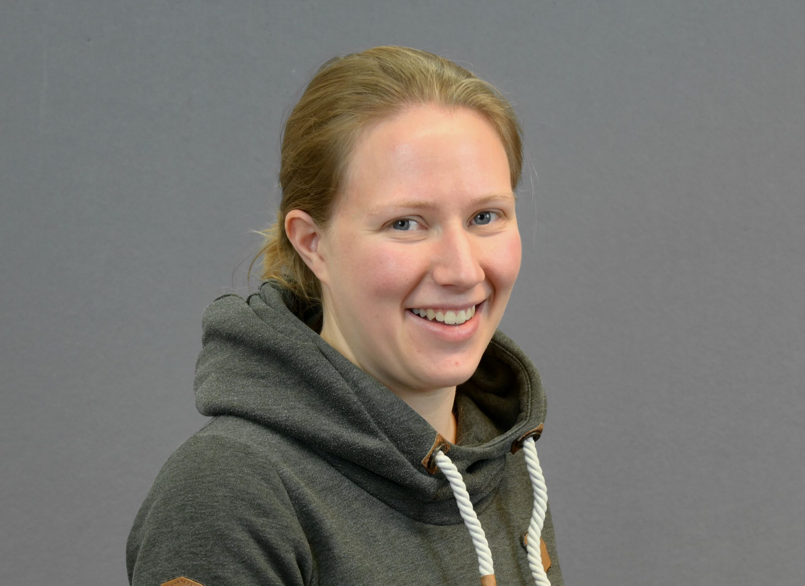
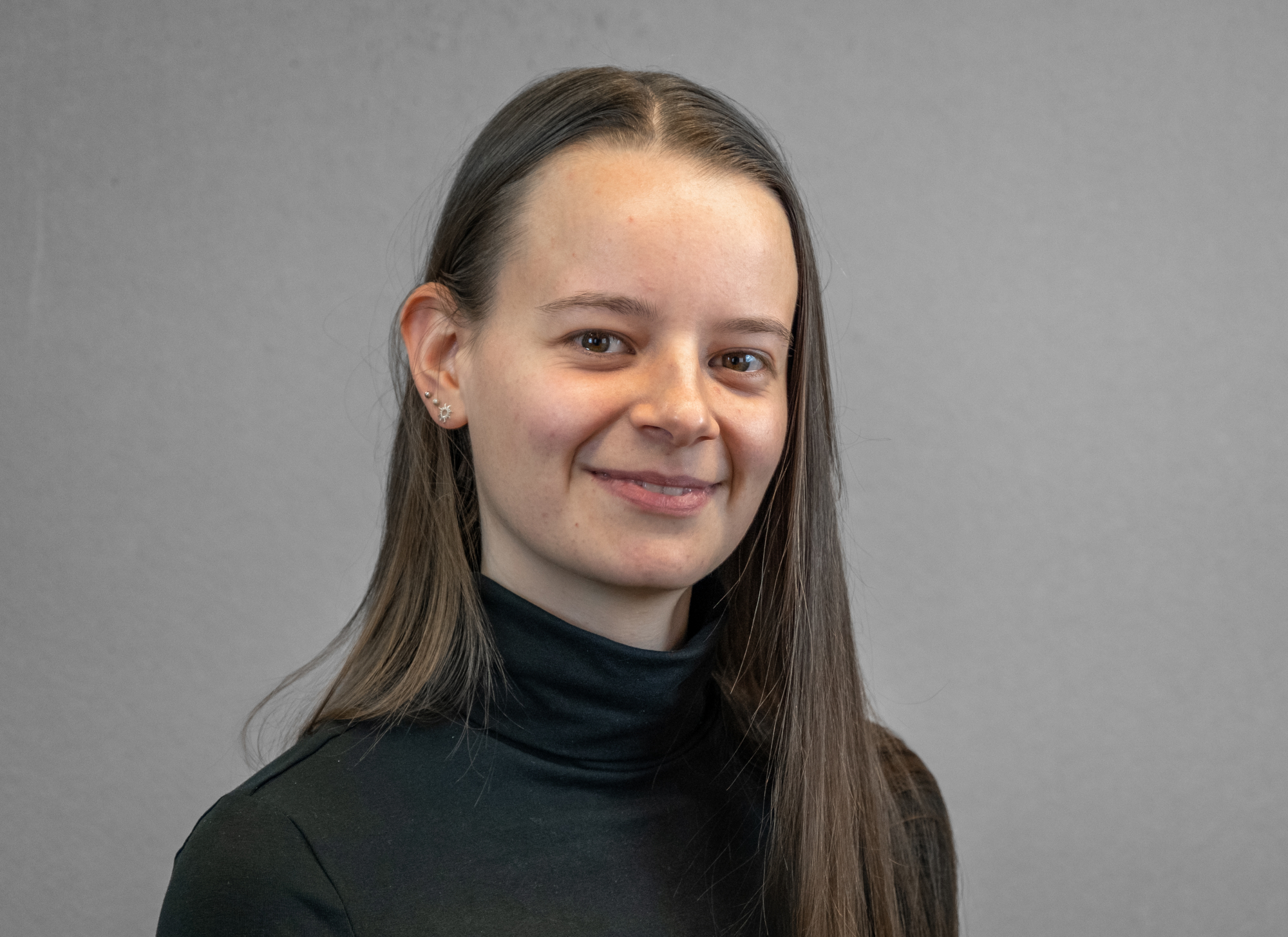
Anika Weinmann
Application Developer & Technical Lead
Anika studied geodesy and geoinformation at the University of Bonn. It specializes in solving remote sensing analysis using Deep Learning techniques.
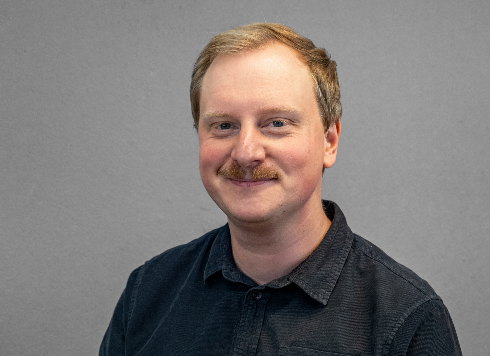
Jan Orzekowsky
System Administrator
Jan studied computer science at the Technical University of Cologne. He worked as a system administrator at terrestris GmbH & Co KG for three years before joining mundialis.
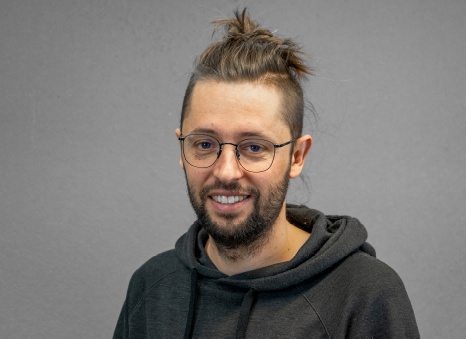
Guido Riembauer
Geospatial Analyst
Guido studied Geoinformation & Visualization at the University of Potsdam and worked, among others, in the ESA Earth Observation Program before joining mundialis. He supports mundialis in development and data analysis and is specialized in radar remote sensing.
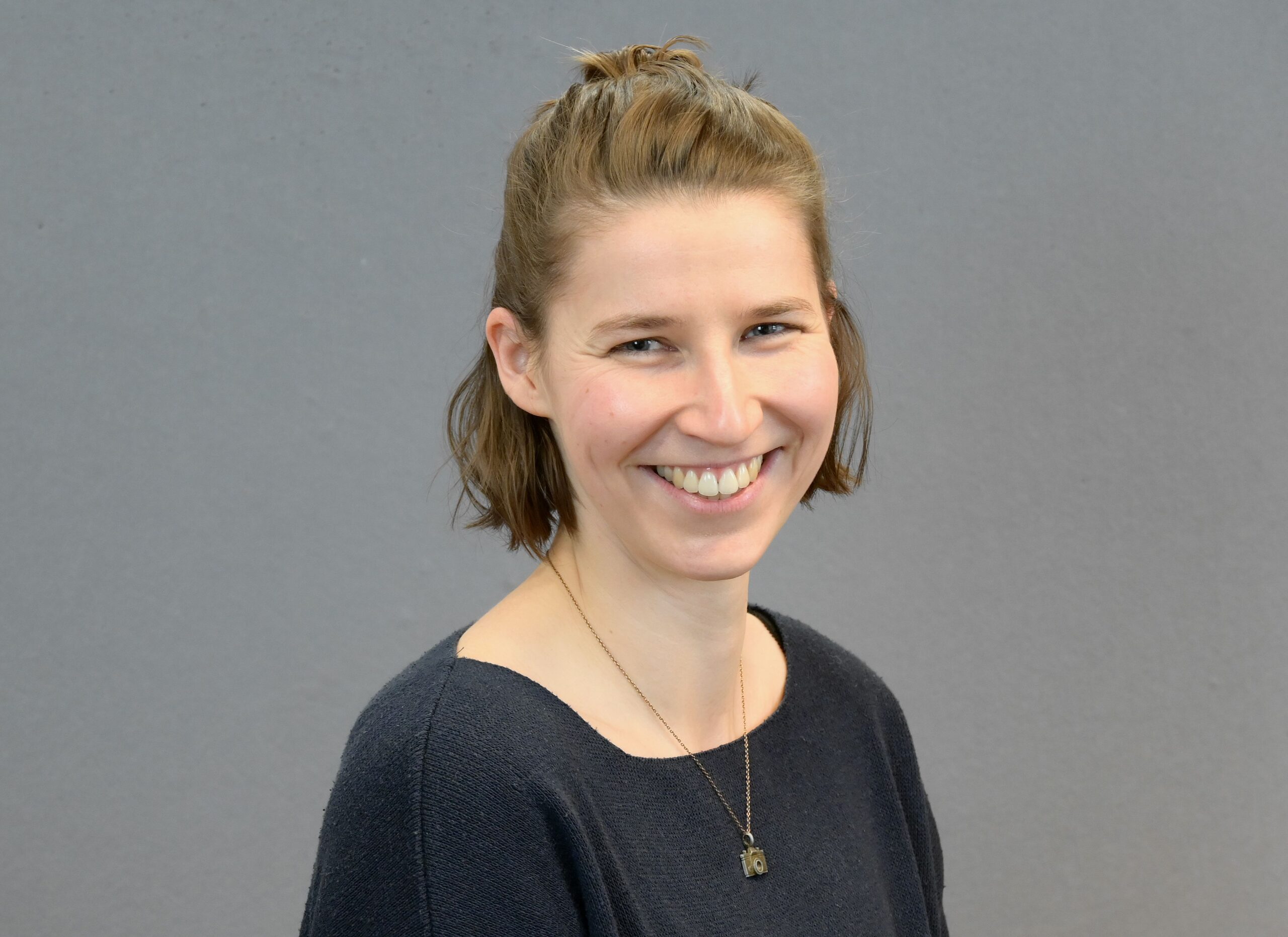
Julia Haas
Geospatial Analyst
Julia studied geography at the University of Bonn. She came to geospatial data and remote sensing via environmental monitoring and sustainability analysis. It supports mundialis in the analysis of massive data volumes with a focus on time series analysis and process automation.
Lina Krisztian
Geospatial Analyst
Lina studied Geodetic Engineering at the University of Bonn with the profile Geodetic Earth System Science and Data Analysis. It addressed the temporal prediction of river levels for flooding using remote sensing data and machine learning techniques.
Dr. Elisabeth Panzenböck
Project Manager
Elisabeth received her PhD in physics from the University of Göttingen and Nara Women's University in Nara, Japan. She has worked in mission operations at the German Space Operations Center (GSOC) as well as the National Coordinator for Space Weather at DLR, among other positions. Since the beginning of 2023, she has been supporting mundialis as a project manager.
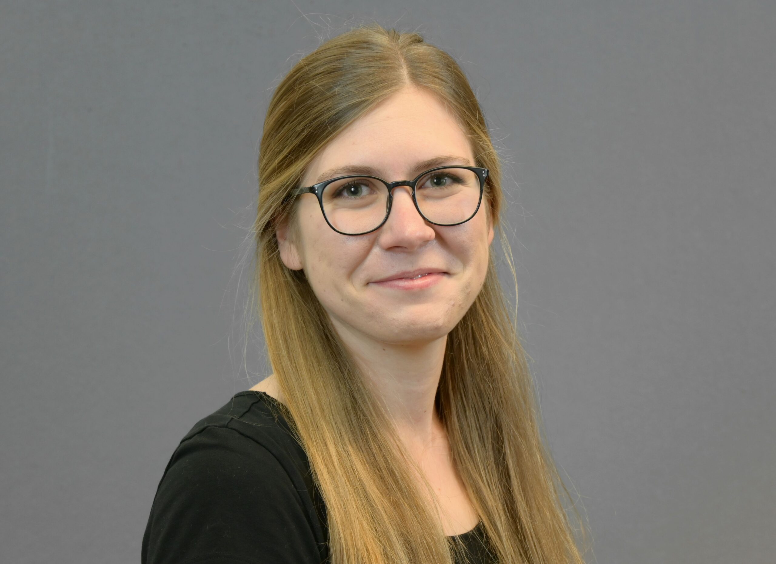
Victoria-Leandra Brunn
Geospatial Analyst
Victoria-Leandra studied Geodesy and Geoinformation (M.Sc.) at the University of Bonn, where she worked at the Chair of Geodetic Earth System Research. She supports mundialis in remote sensing analyses.
Lennart Meine
Project Manager
Lennart studied Physical Geography (M.Sc.) in Cologne and worked there at the Institute of Geography. He then worked as a research assistant at the Federal Highway Research Institute (BASt) and was responsible for climate change impacts and adaptation projects. He is project manager at mundialis.
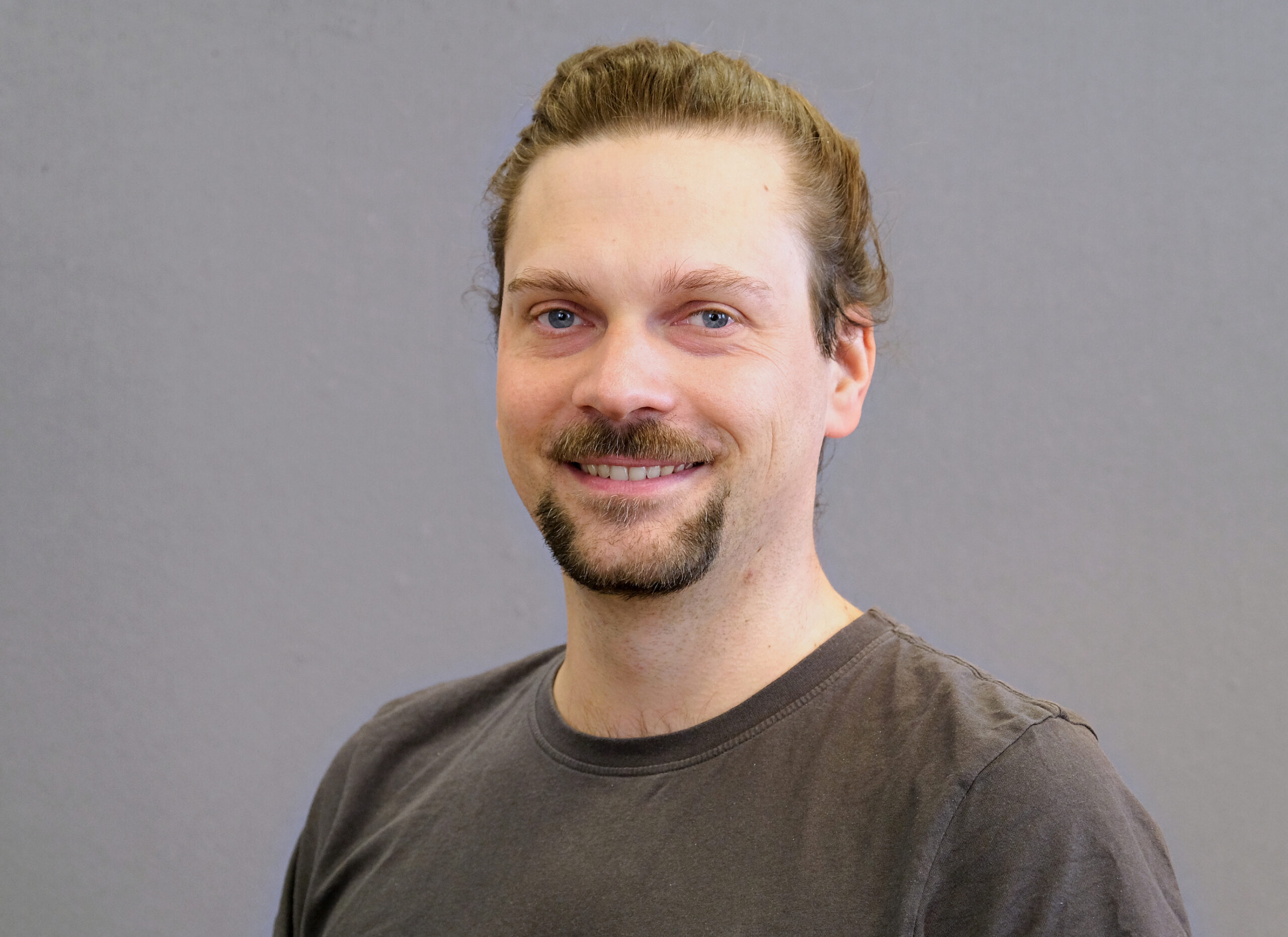
Jonas Pischke
Student Employee
Jonas is a master's student in geography at the University of Bonn, focusing on the diverse applications of remote sensing. During an internship at mundialis, he gained practical experience and continues to support the team in processing and analyzing remote sensing data.
Dr. Markus Neteler
Co-Founder & Senior Consultant
Markus is a partner and shareholder of mundialis. Until 2016 he led a GIS research group in Trento (Italy) and has many years of experience in open source development and remote sensing and is one of the founding fathers of GRASS GIS(personal page).
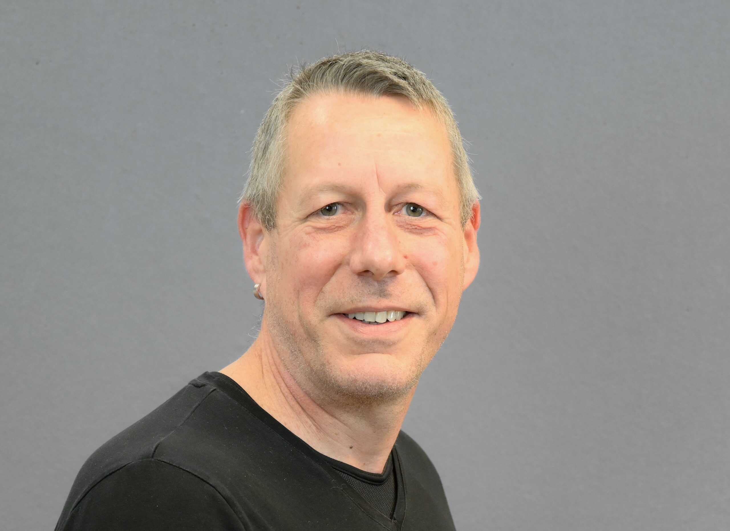
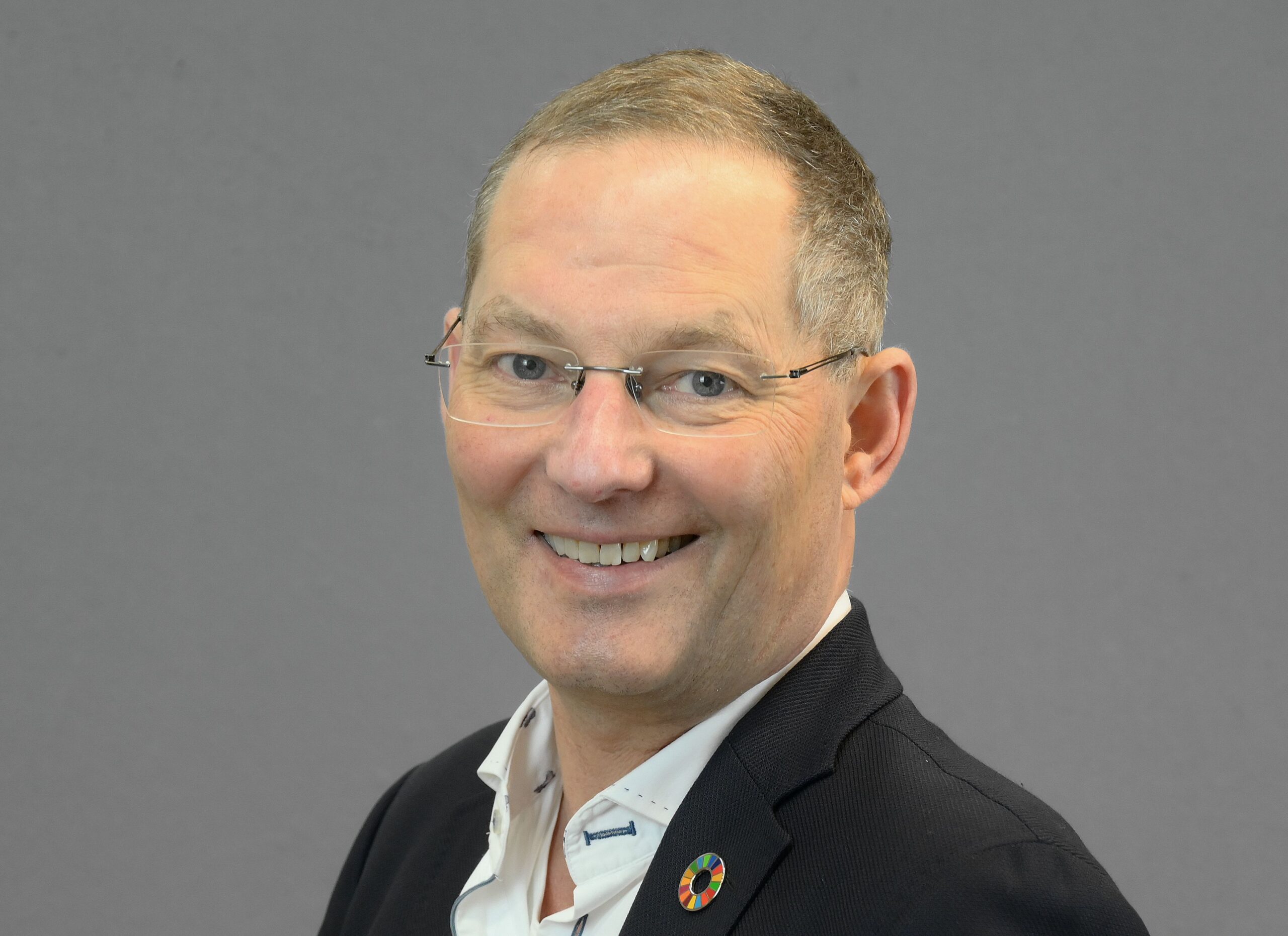
Hinrich Paulsen
Co-Founder & Senior Consultant
Hinrich is co-founder and shareholder of the company mundialis. He has many years of experience in business management and development, human resources and finance, and primarily oversees Earth Sustainability Monitoring projects.
Our values
We create long-lasting solutions.
mundialis focuses on the use of free geodata, such as the European Copernicus program or the Open Data offerings of the German states. From these vast amounts of data, we generate spatial information in the form of map and data products and web services. To this end, we develop innovative GIS and remote sensing methods using artificial intelligence and machine learning. We implement these in software individually designed according to customer requirements. The basis is the geoinformation system GRASS GIS and the cloud-based geoprocessing platform actinia, which we continuously extend and make available as free and open source software.
We dare to be transparent.
By using and publishing open source software, we are part of an active and collaborative community where everyone benefits through open and fair principles. This enables low-barrier, long-term use and further development of our software. mundialis combines many years of experience in open source development with scientific expertise and agile project management. Our dynamically growing team combines considerable professional experience, language skills and expertise: together we offer over six decades of experience in the remote sensing environment.
We explore our options.
At mundialis, we work with free geodata and free software in the remote sensing environment. We generate spatial information while developing free and open source software. Both form the core of customized GIS solutions that are implemented in a customer-oriented manner. We work in a scientifically sound manner with regional, national and international project partners. In addition to our content-related work, we see ourselves as an environmentally conscious and sustainable company that makes a positive contribution to society and the environment.
Since December 2023, mundialis has been certified according to DIN EN ISO 9001:2015 (Quality Management) and DIN EN ISO 14001:2015 (Environmental Management). These certifications confirm our commitment to the highest standards, professional management of our operations, sustainable business practices, and continuous improvement. The optimization of our processes during the certification process not only strengthens the quality of our services but also promotes a conscious and sustainable working environment. We see the certification as an incentive to consistently pursue our path of ecological responsibility and excellence – to the benefit of our customers, partners, suppliers, and employees.
Career
mundialis is a future-oriented company and we are committed to our employees. We have grown steadily over the past few years and will continue to need further support in the future. Are you looking for innovative projects and challenging tasks? Then please feel free to contact us.
You would like to apply for a job with us, but your desired position is not advertised?
No problem: We offer people with an interest in GIS, remote sensing, free data and free software a chance to develop their own skills and abilities together in our team.
If you are generally interested, please send your application to job@mundialis.de with the documents that make us want to get to know you better.
We are looking forward to creating a tailor-made position (in Bonn and/or remote) for interested candidates (f/m/d) if we like each other.
We are looking forward to your application!
Partner
mundialis is not only an integral part of various user and developer communities, but also has a growing network of partners with the highest level of expertise in their respective fields. Together, many project plans have already been realized.
Customers
Since its foundation in 2015, the company can boast numerous satisfied customers from both the public and private sectors. A selection of our activities for our customers can be found under references.
Get in touch
Specially configured product needed? Specially configured software needed? We offer customized solutions for your needs.