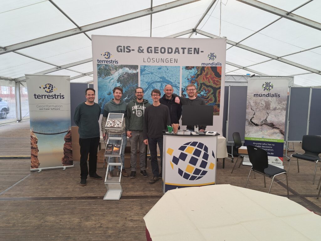
FOSSGIS 2025 – a review of the largest conference to date

With 727 participants on site and over 350 online, 87 presentations, 30 lightning talks as well as demo sessions, BoF meetings, an expert Q&A session and poster sessions, this year’s FOSSGIS was the largest in its history. The workshops were also very well attended with almost 200 participants, and the evening event was attended by […]
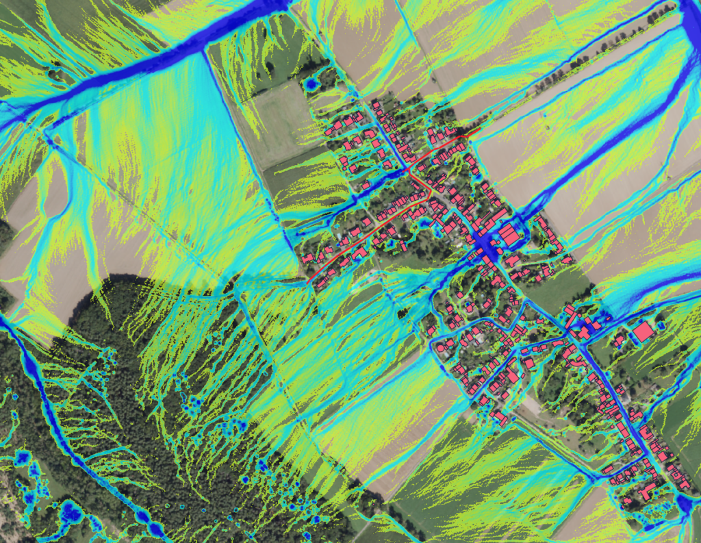
Better Assessment of Heavy Rainfall Risks: First Training on the GRASS GIS Tool r.sim.water

We are pleased to report on the first training session for the GRASS GIS tool r.sim.water that we conducted for the city’s drainage department in Düren. The goal was to improve the assessment, visualization, and simulation of flooding potential during heavy rainfall events. r.sim.water is a powerful tool for simulating water runoff, providing detailed insights into how water […]
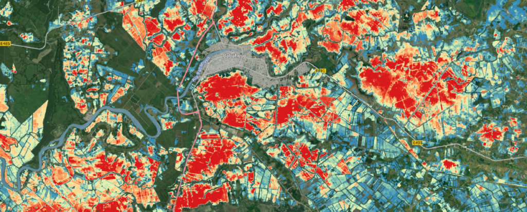
VALE Project included in the ESA’s SDG Catalog

Unser Projekt VALE (Entwicklung und VALidierung von erdbeobachtungsbasierten Indikatoren für das Monitoring des Sendai Rahmenwerks am Beispiel von Hochwasser in Ecuador), das sich auf die Hochwasseranalyse mit Sentinel-1-Satellitendaten konzentriert, wurde offiziell in den SDG-Katalog der ESA aufgenommen! 🎉 Dies ist eine bedeutende Anerkennung für unsere Arbeit zur Erreichung der UN-Nachhaltigkeitsziele (SDGs). Im Projekt VALE haben wir eine Methode […]
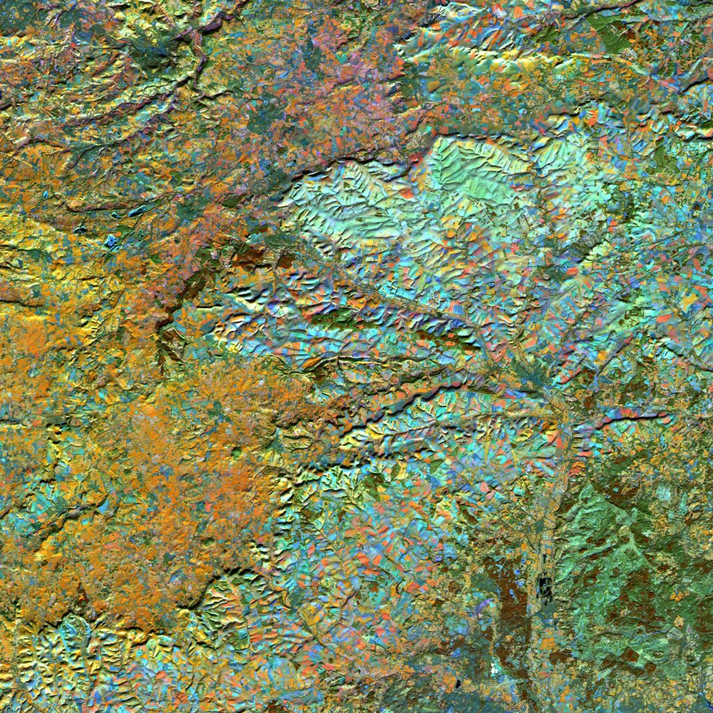
Exciting news from the world of geoinformatics and environmental analysis

We are pleased to announce a pioneering partnership between mundialis GmbH & Co KG from Bonn and Margosa Environmental Solutions Ltd. from the UK. This collaboration combines the strengths of two innovative companies to develop holistic solutions for complex environmental and resource issues. Margosa Environmental Solutions Ltd. brings its extensive expertise in hydrology and geomorphology […]
