mundialis offers customised geoinformation solutions using state-of-the-art remote sensing technologies in the fields of environment, biodiversity, finance and sustainability. By combining spatial data and customised software development, we generate valuable information as a basis for decision-making for a wide range of applications. Our team works together with regional and international partners in a scientifically sound and customer-oriented manner. We are committed to sustainability and environmental protection and thus make a positive contribution to society.
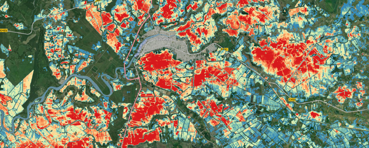
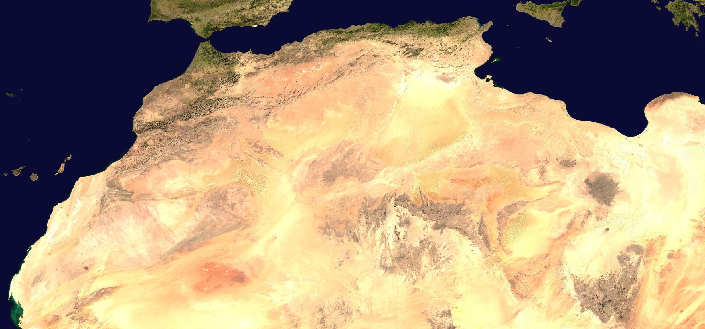
Is this art or can it be processed?
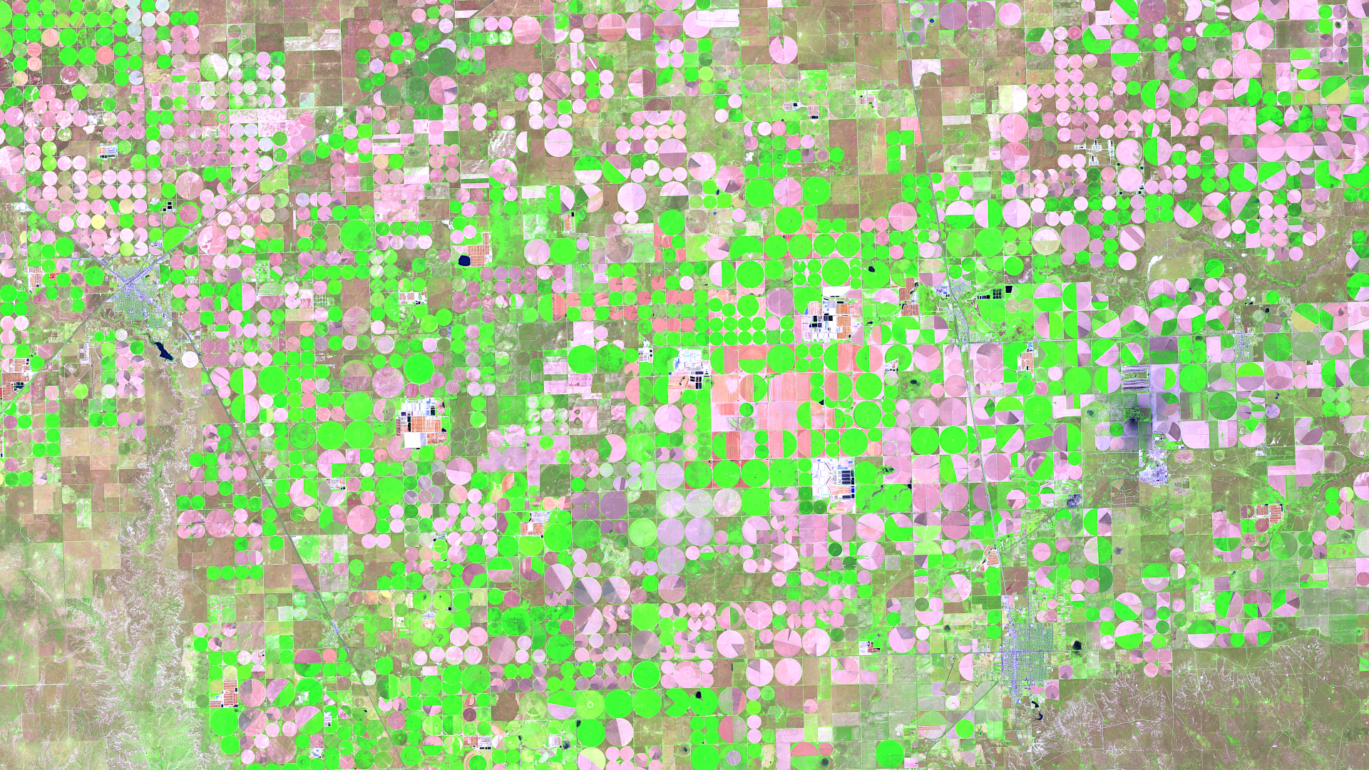
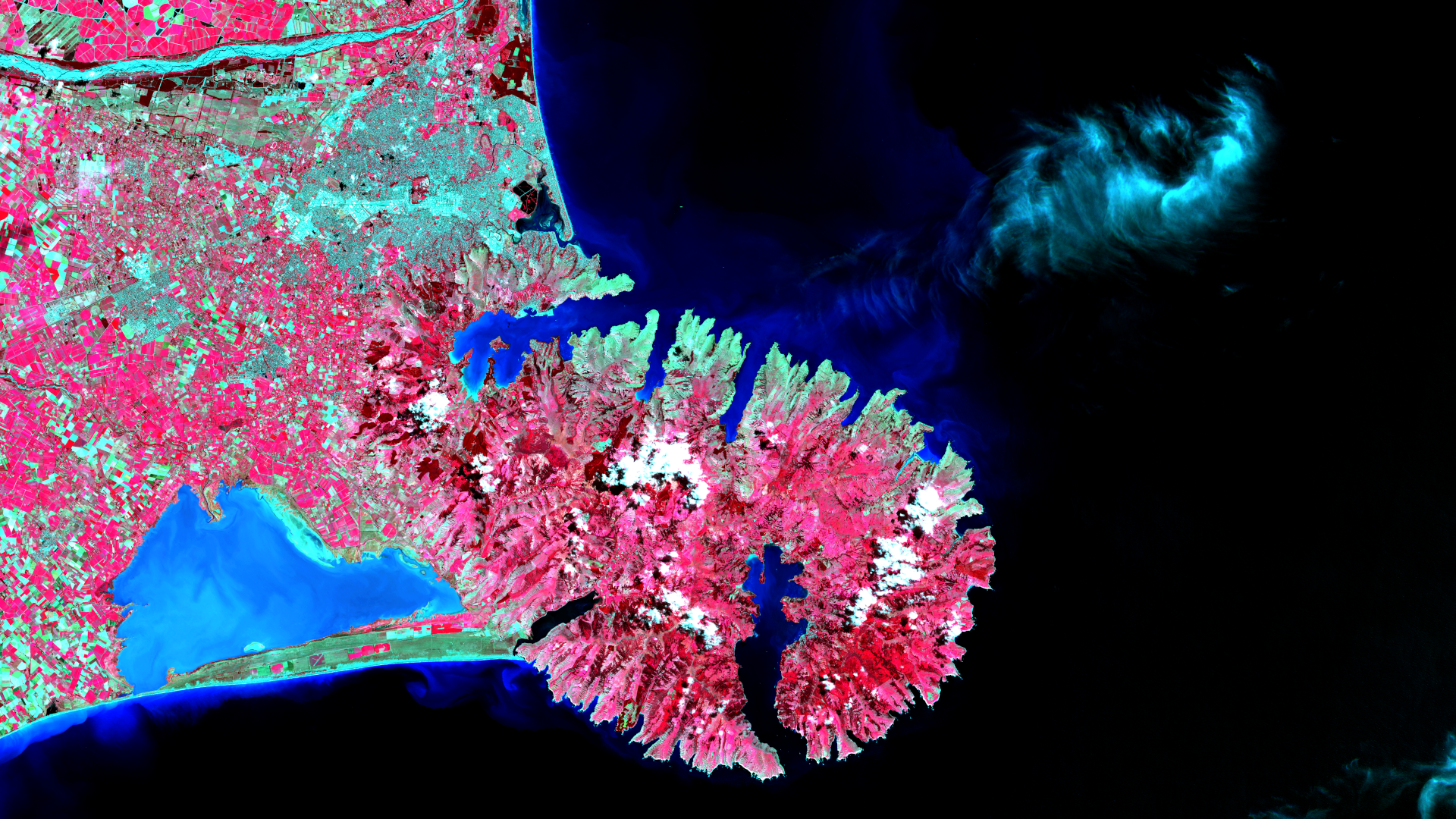
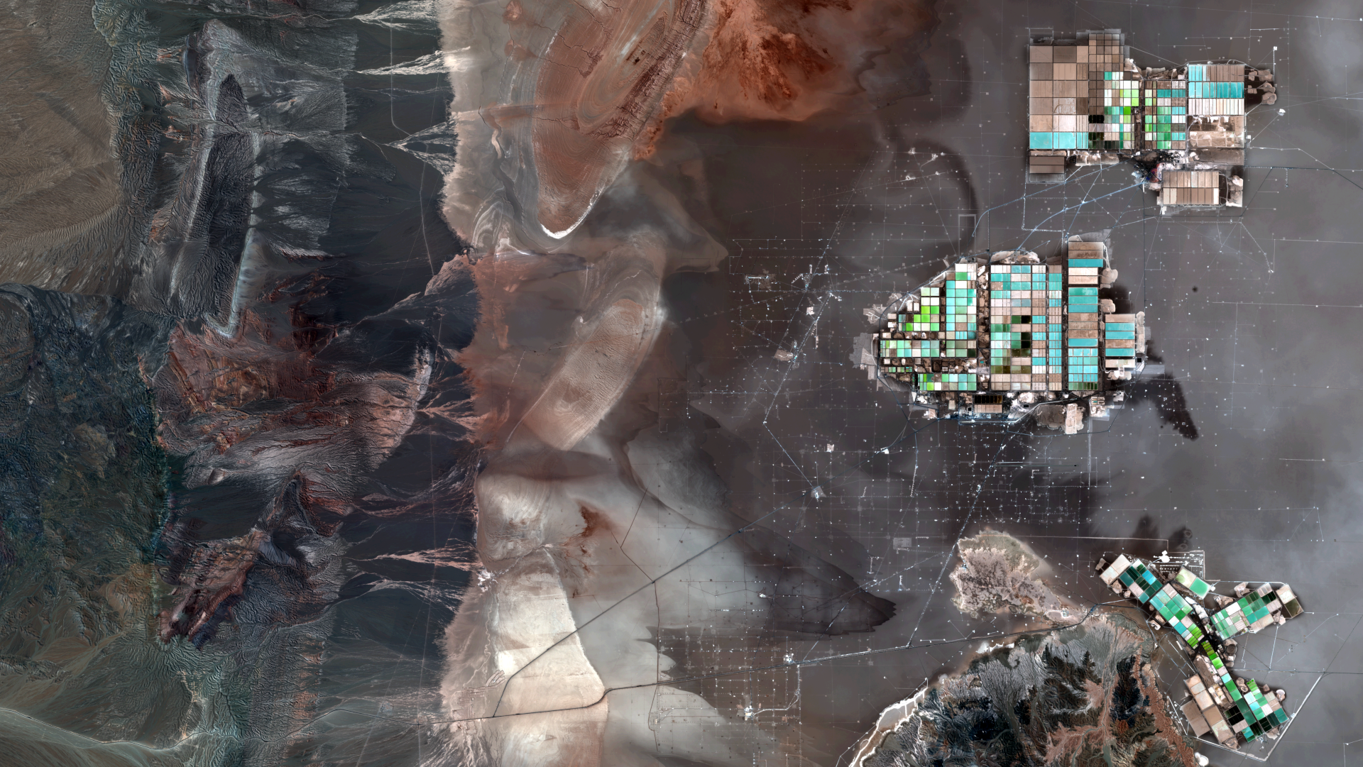
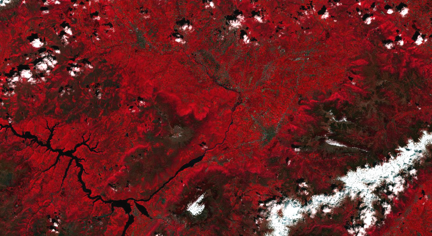
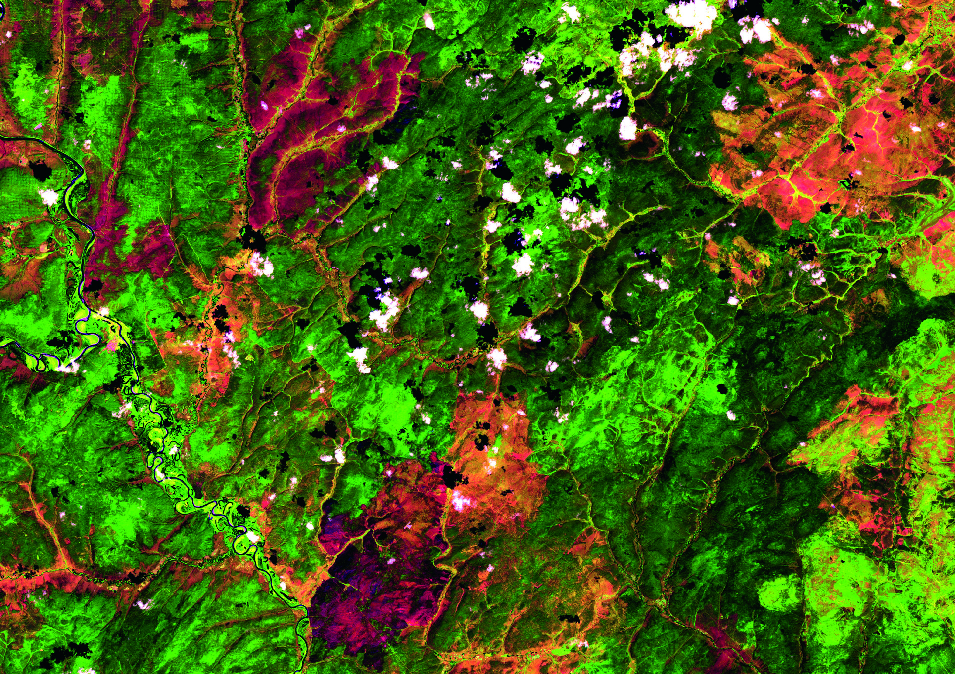
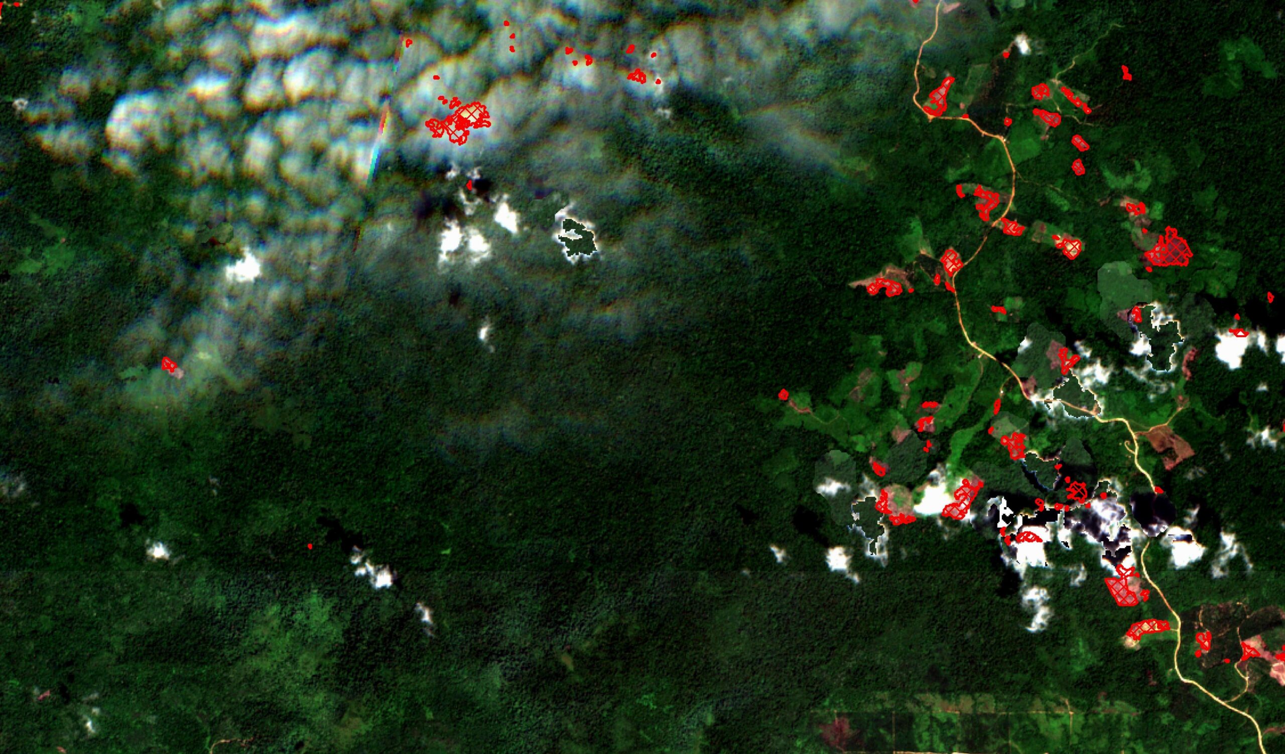
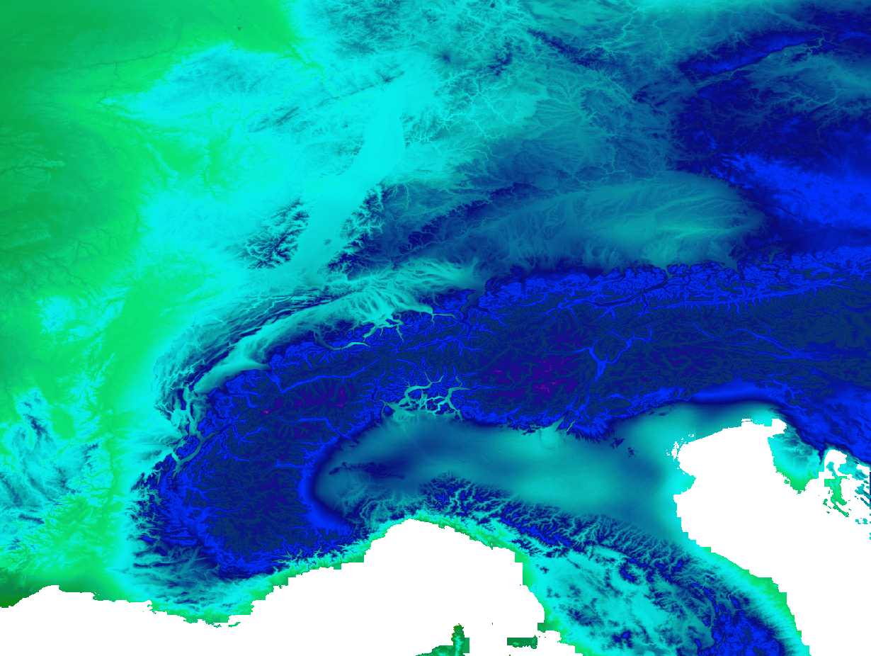
Our satellite images of the month offer a fascinating view of the earth every time.
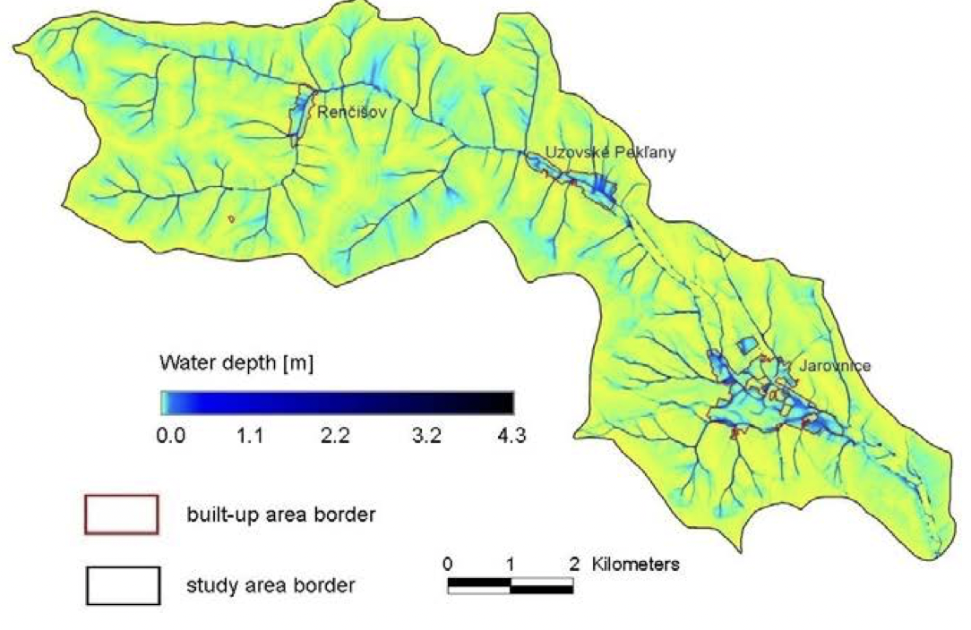
Find out which projects we have already realized for our customers or together with our partners. Our experiences are as diverse as the world we work in.