
Conclusion of the FAIR Project
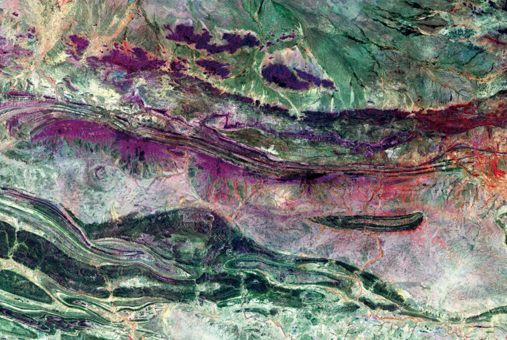
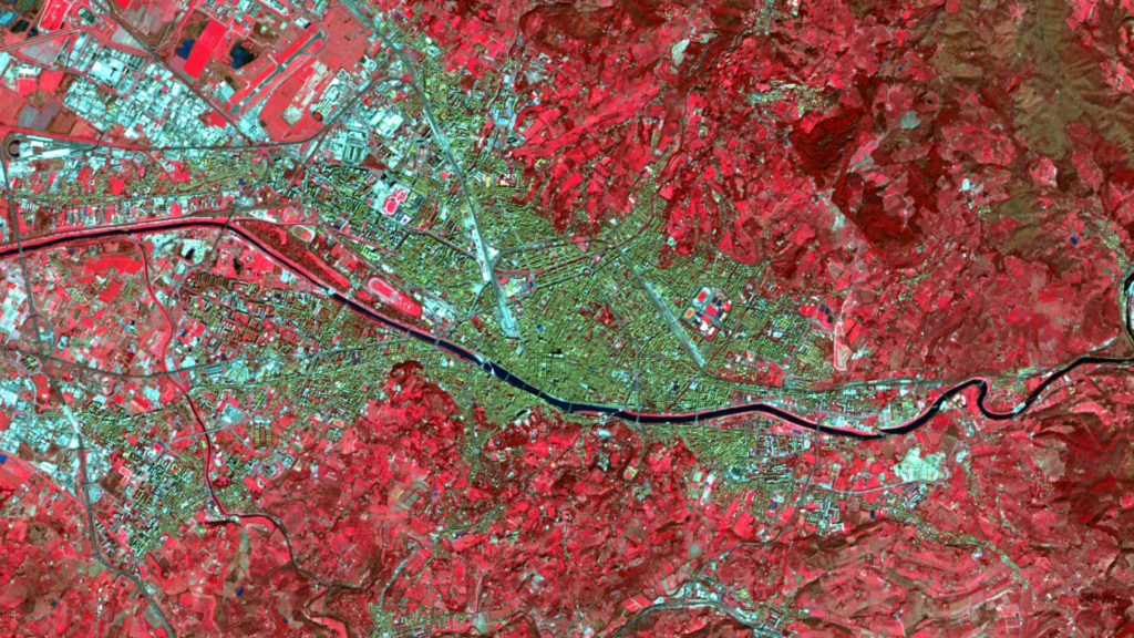
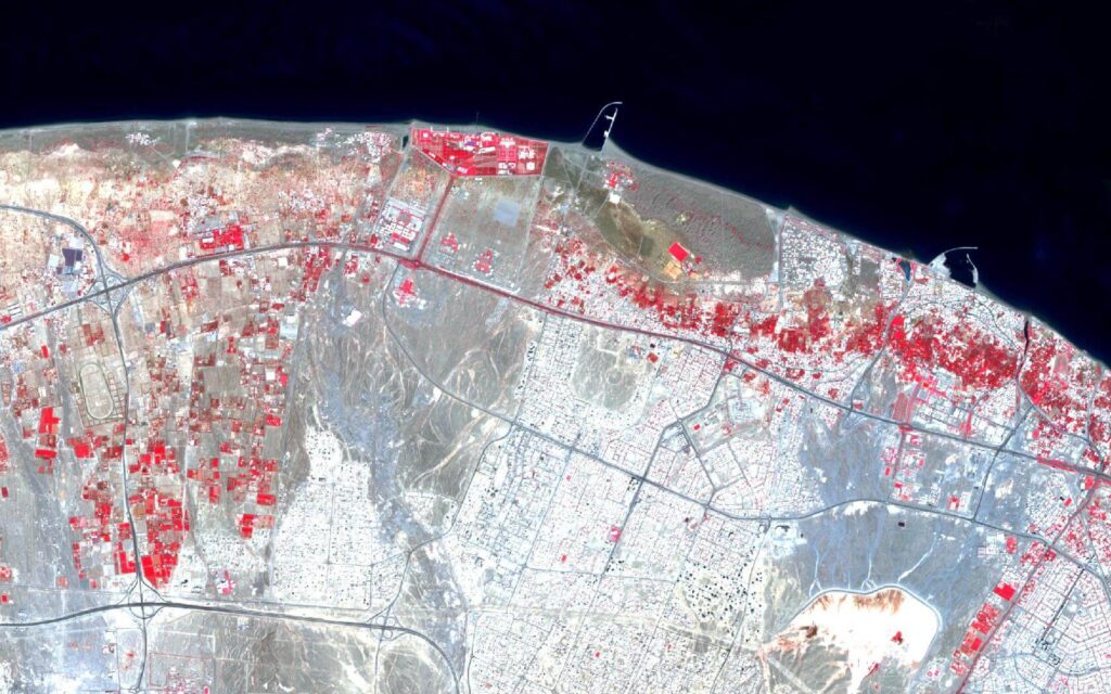
The weather and the climate dominate all our lives ? ? ? ? ? In particular, the extreme weather event that led to the severe flooding and high water on the Ahr River has again brought home to society just how much meteorological events can affect us.All people are affected by climate change, extreme weather […]
FOSSGIS 2023 – this time in Berlin again!
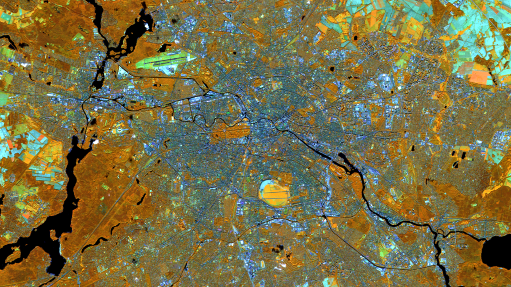
This year’s FOSSGIS conference will return to Berlin after 2007 (Humboldt University) and 2014 (Beuth University). As always, the organizers are FOSSGIS e.V. and this year the Institute of Geography at Humboldt University Berlin. Between March 15 and 18, the active members of the German-speaking community will meet in Berlin Adlershof and, for the first […]
++ Eine neue Heimat für Actinia ++
Der Source Code von actinia ist umgezogen! Um die actinia GitHub Repositories übersichtlicher zu stukturieren, ist der Source Code von actinia in eine eigene Organisation [actinia-org]¹ umgezogen. Hier liegt jetzt neben dem [actinia-core]² Repository auch die Plugins, eine [Einführung in actinia]³, der [actinia-python-client]⁴, eine [Prozesskettensammlung]⁵, die wir nach und nach füllen werden und vieles mehr. […]
Positive towards the future – Management changes at mundialis
Positive towards the future Management changes at mundialis After four years, the two managing directors Torsten Brassat and Marc Jansen handed over the management of mundialis on September 30th, 2022, but remain closely connected to the mundialis as managing directors of the company terrestris. “For their excellent work, with which Torsten Brassat and Marc Jansen […]
Recap of FOSS4G 2022 in Florence
In August, we at mundialis had the pleasure of attending FOSS4G 2022 in Florence. As it was again a face-to-face event, there were many opportunities to talk to other participants, exchange ideas, develop ideas and of course listen to a number of excellent talks (core conference programme). The beautiful city of Florence at the end […]
FOSS4G 2022 in “La Bella” – Greetings from Florence!
After the cancellation of the FOSS4G in Calgary in 2020 due to Corona and the online FOSS4G conference from Buenos Aires in 2021, this year’s FOSS4G conference will finally take place again in presence and, after Bucharest 2019, again in Europe. The organising city of Florence on the Arno, nicknamed “La Bella” in Italy, also […]
VALE project successfully completed
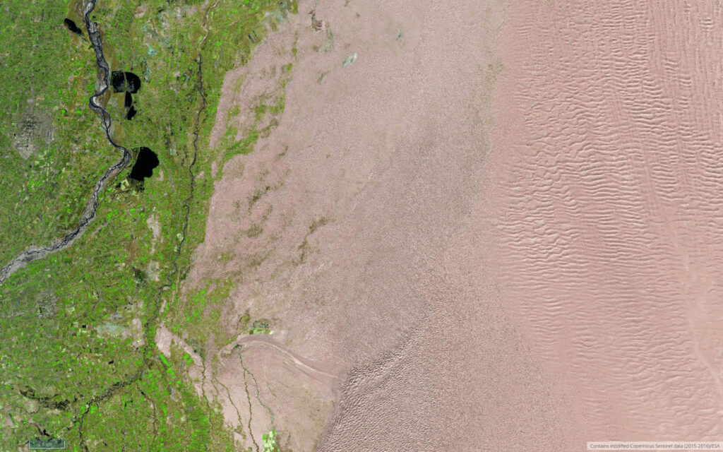
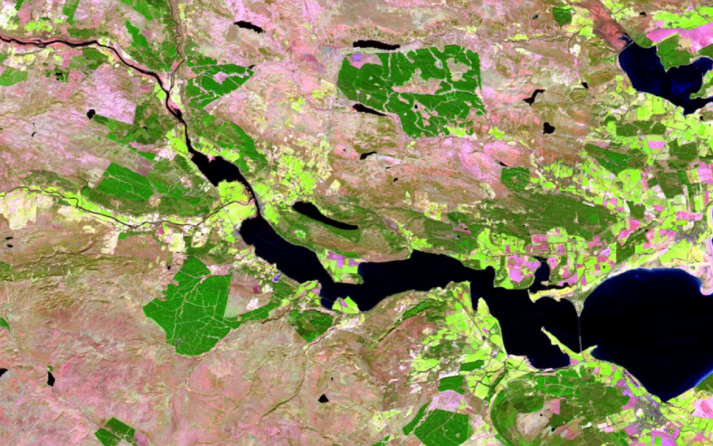
Our presentations at the Living Planet Symposium 2022 also represent the successful completion of the VALE project (Development and VALidation of earth observation-based indicators for the monitoring of the Sendai framework using the example of flooding in Ecuador). Together with our partners from United Nations University we explored how remote sensing data can be used […]
Taking part in ESA’s Earth Observation conference / A look back on the LPS 2022
How can the causes and impacts of natural disasters be monitored? What can remote sensing contribute to food security? And how can the large volumes of satellite data be processed and analysed as automatically as possible? These were just a few of the many issues addressed last week at the ESA Living Planet Symposium (LPS), […]
Presenting at the ESA Living Planet Symposium 2022
The ESA Living Planet Symposium “focuses on how Earth observation contributes to science and society, and how disruptive technologies and actors are changing the traditional Earth observation landscape” (quote from the website). Since this conference will take place from 23-27 May 2022 in the World Conference Center Bonn, practically on our doorstep, we obviously applied […]
Le Kollektiv – Meeting in Bonn
Le Kollektiv is a formal network of 9 European Digital and New Space companies founded in July 2021 in Paris and coordinated by Prométhée, a French New Space start-up specializing in end-to-end Earth observation services. Le Kollektiv is convinced that the future of New Space goes through digitalization. Therefore, besides Prométhée and mundialis, the partners […]