
Satellite Image of the Month – September – Oslo (Norway)
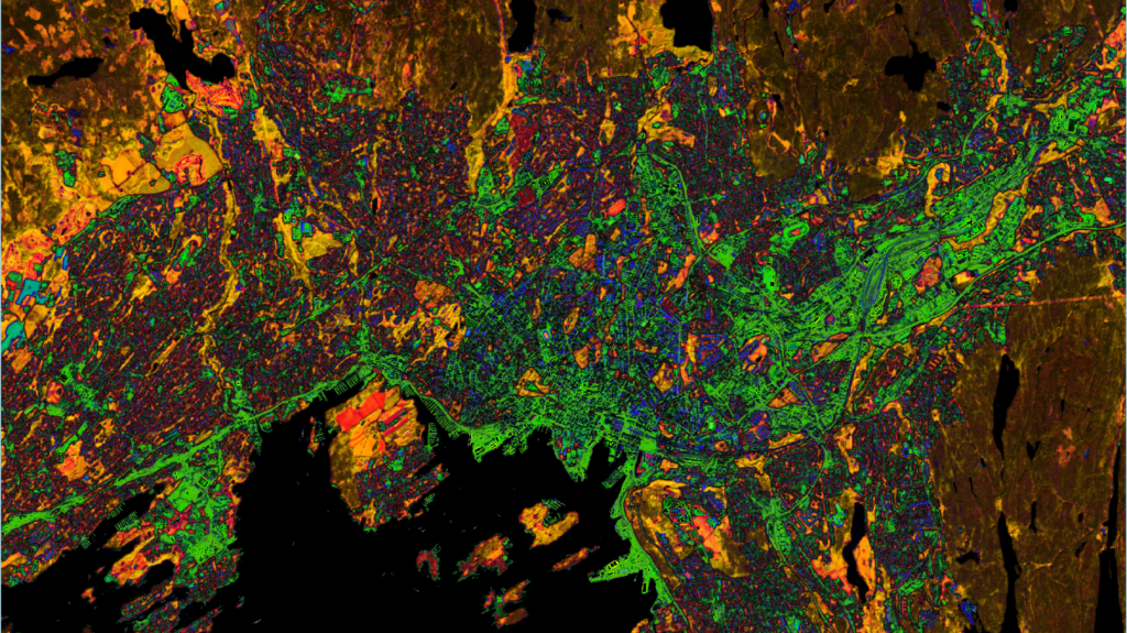
The Satellite Image of the Month for September is the ninth part of our twelve-part visual journey, turning our gaze to northern Europe. This month we look at Oslo, which was named European Green Capital in 2019 and stands out across Europe for its green infrastructure. Alongside a largely car-free city centre, the city offers […]
Satellite Image of the Month – August – Hamburg (Germany)
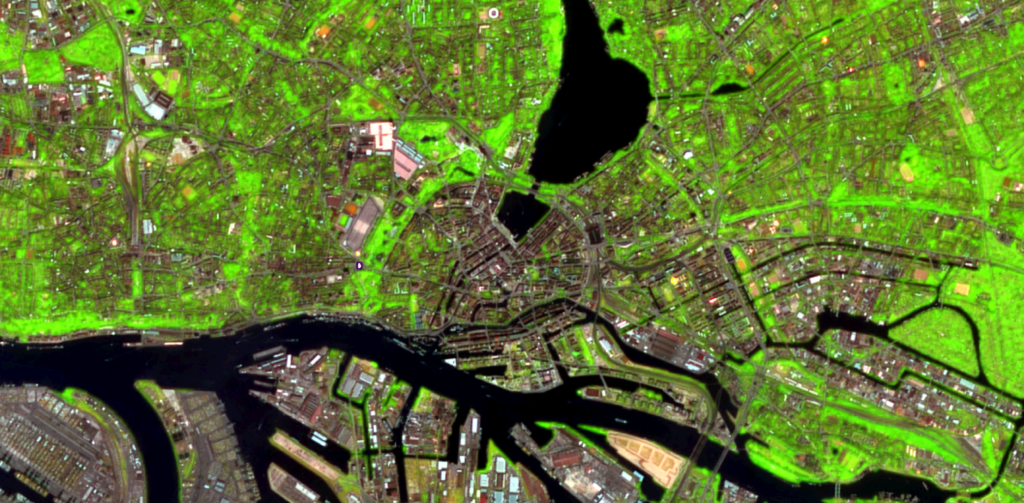
The Satellite Image of the Month for August is the eighth part of our visual journey and takes us further into the theme of analysing urban spaces. This month we turn our attention to Hamburg, which was awarded the “European City of Trees”-Award in 2025. The image shows the northern harbour facilities and the city […]
Satellite Image of the Month – July – Düsseldorf (Germany)
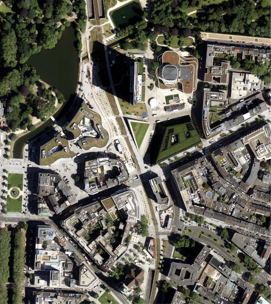
The Satellite Image of the Month for July is the seventh part of our twelve-part visual journey. It opens the thematic block “Cities – Urban Green.” The focus is on urban measures as a response to global environmental change: we show how green roofs, trees and urban vegetation can be made visible and analysed using […]
Satellite Image of the Month – June – Stuttgart (Germany)
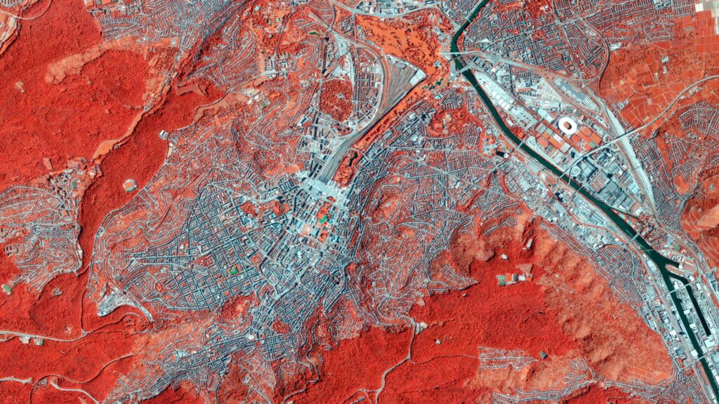
The orthophoto was acquired on August 11, 2025. The Satellite Image of the Month for June is the sixth part of our twelve-part visual journey. It concludes the thematic section “Traces of Time – Landscapes and Cities in Transition” and introduces the next section, which will focus on urban spaces. The image shows a section of […]
Satellite Image of the Month – May – Franconia (Germany)
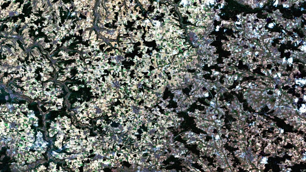
Franconia – Germany, recorded by the Sentinel-2A and -2B satellites on August 14, 2021 and August 14, 2022 The satellite image of the month for May is the fifth image in our twelve-part visual journey. It continues the series ‘Traces of Time – Landscapes and Cities in Transition’, in which we show satellite images to […]
Satellite Image of the Month – April – Harz National Park (Germany)
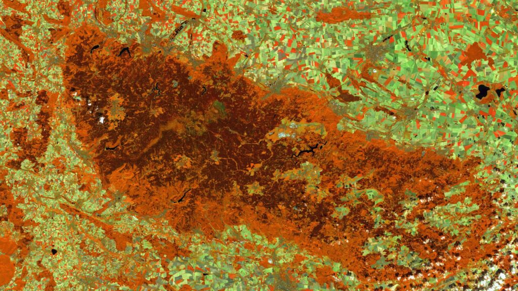
Harz National Park (Lower Saxony/Saxony-Anhalt) – Germany, recorded by the Sentinel-2A and -2C satellites on August 9, 2015 and August 13, 2025 The satellite image of the month April is the fourth image in our twelve-part visual journey and opens the thematic series ‘Traces of Time – Landscapes and Cities in Transition’. Using satellite images, we document and illustrate slower, more gradual changes to the […]
Satellite Image of the Month – March – Rio Grande do Sul (Brazil)
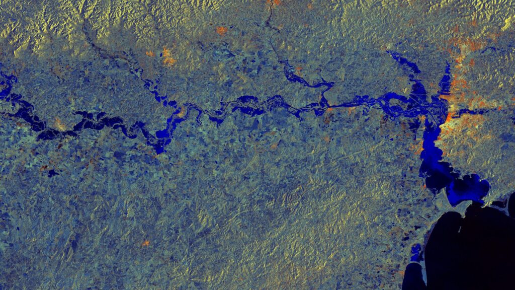
Rio Grande do Sul – Brazil, captured by the Sentinel-1A satellite on May 11, 2024, and June 4, 2024. The satellite image of the month March is the third part of our twelve-part visual journey. It concludes the thematic block “Acute hazards – visible from space”, which deals with natural hazards, their visible impacts and […]